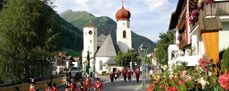
Route description
The hike starts at the valley station of the Rendlbahn. You'll cross the stream and turn into the path, which leads upwards over the ski slope. The path runs into a road, keep to the right. The road takes the hiker to a steep path, which leads through the Moostal further upwards. As soon as you spot the Tritschalpe you'll turn left into a cycle path. This one takes you to the mountain station of the Rendlbahn, where the Alpenrosenweg begins. The first part of the path leads uphill, but soon will become flat and easy to walk on through the slopes above the Stanzer Tal. Slightly downwards, the steep path takes the hiker into the anterior Rendl. The tour then continues through avalanche barriers and eventually leads to a footpath that will end at the Rendlalm, on the left-hand side. On a driveway, the hikers will be walking from the mountain pasture further downhill before they will turn into a footpath at the second turn-off. Another driveway follows, which will lead onto a steep path. You'll follow the serpentines downhill, keep to the left and walk by the train station. You'll cross the Rosanna on the Moostalbrücke and return on this way to the starting point. Another variant: If you're rather in the mood for a comfortable hike, then you might take the Rendlbahn to the mountain station, which is located at an altitude of 2000 m/ 2187 yards. This way you'll save approximately 2 hours of walking time.
Interesting facts
- You're traveling a distance of 14 km on this easy trail. Average length of all hikes in Tyrol is 15 km.
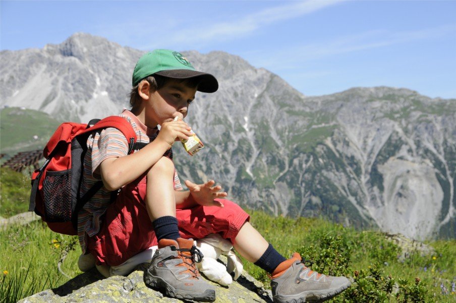
- The hike is one of the family friendly trails in the region. The hike is also perfect if the kid’s wanna bring their dog on the trip. (See all dog friendly hikes in Tyrol.)
- Hiking boots are not required, but the hike might be more enjoyable with sturdy footwear (especially in wet conditions). If you get hungry along the way, there are places to rest and get food. Nevertheless it’s recommended to also have enough water and food in your backpack when hiking or biking.
Highlights of the tour
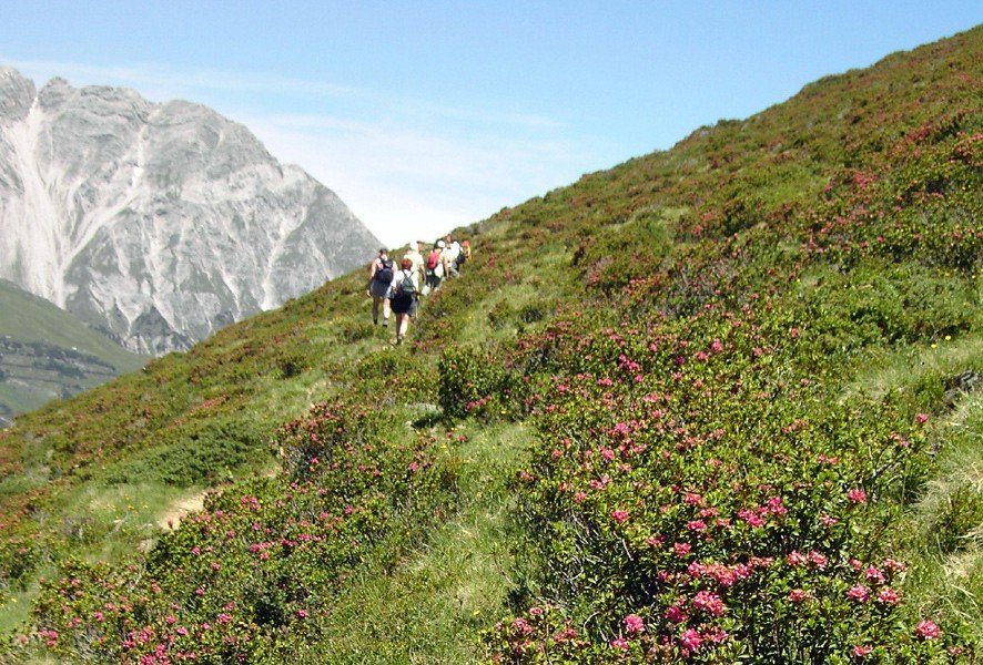
The Alpenrosenweg, located south of the slopes above St. Anton, is a one of its kind hiking path. Not only does the red colour of the ocean of roses offer many splashes of colours in the mountains, but will also visually dominate the landscape to such an extent that people like to call it the "burning mountain“.
Getting here
By car
Coming from Salzburg or Munich you'll reach St. Anton am Arlberg via the S16 in the direction of Landeck. Take the exit at St. Anton am Arlberg and continue on the B197. After the train station you'll turn left into the Rosannaweg. Coming from Stuttgart or Zurich you'll first drive in the direction of Feldkirch and Bludenz on the S16. Take the exit at Langen a. A./ Klösterle in the direction of the Arlbergpass (B197) and turn right into the Arlbergstraße. Just before the station you'll turn right into the Rosannaweg. St. Anton is also comfortably reachable by train, too. As a rail-jet station many important fast trains will stop here. The valley station of the Rendlbahn is only a few minutes away from the train station.
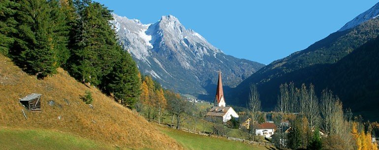
The starting point of the tour is the valley station of the Rendlbahn in St. Anton am Arlberg. Car parks are provided here.