Route description
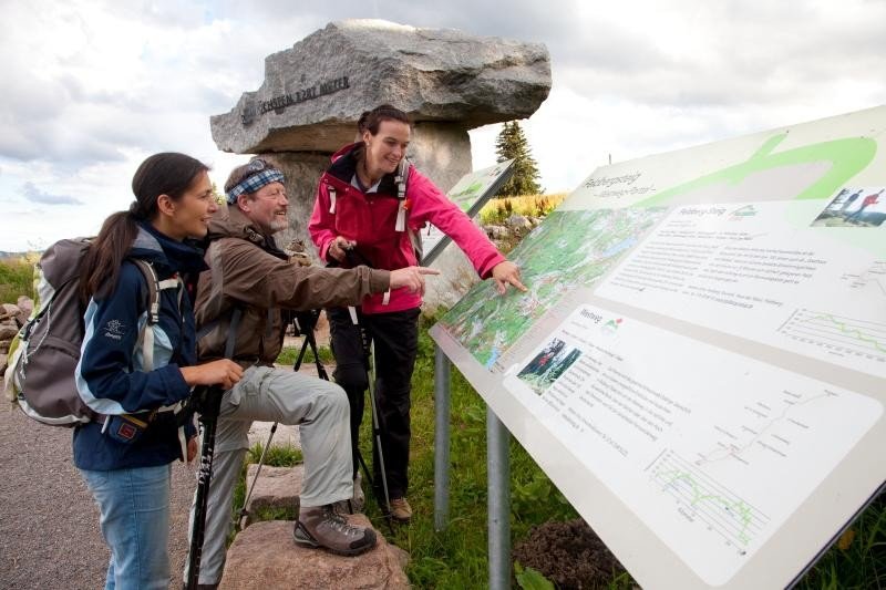
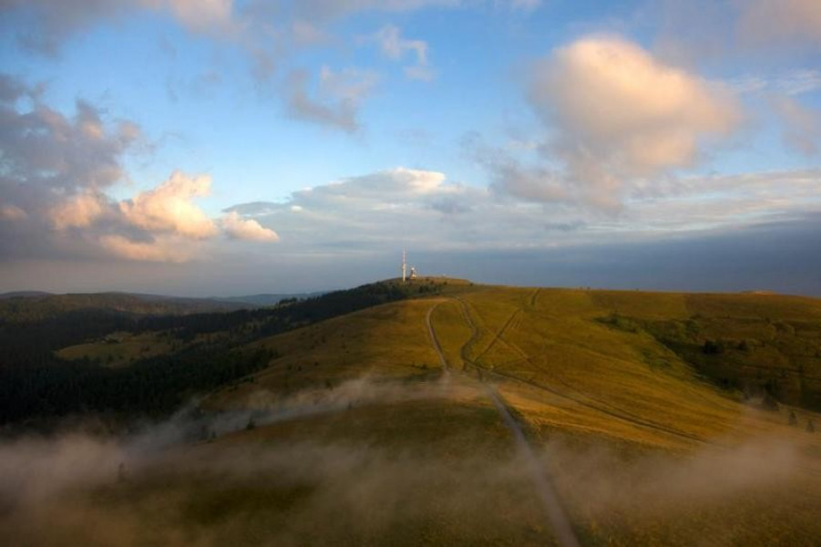
The tour starts at the museum „Haus der Natur“. The hike starts immediately with a steep ascent and you will have an amazing view across the Vosges Mountains and the Swiss Alps. The trail further continues to the Bismark memorial and the top station of the ropeway at 1450 m height. Across the saddle Grüblesattel you will get to the peak.
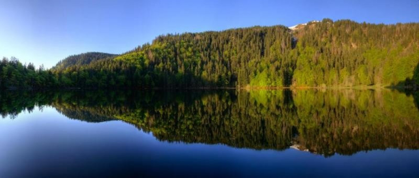
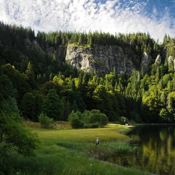
Now start descending to the mountain huts St. Wilhelmer Hütte, Zastler Hütte and Baldenweger Hütte. You should brace yourself for the following. Across narrow paths and a small chain bridge you will reach the guesthouse Raimartihof. Continue your hike between the 300m high mountainside of mountain Feldberg and the lake Feldsee towards Bannwald. To get back to where you started follow the trail called Karl-Egon-Weg.
Interesting facts
- You're traveling a distance of 12 km on this strenuous trail. The average length of all hikes in Baden-Württemberg is 49 km.
- Feldberg – steep road is among the 3 best rated Hikes in Baden-Württemberg.
- Elevated between 1,107 m and 1,487 m, the hike is among the 15 highest elevated hikes in Germany. You're facing an uphill climb of 502 vertical meters on this hike.
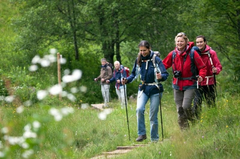
- Sturdy hiking boots are recommended on this track. There are places to buy beverages and food along the track. However it’s always recommended to bring enough water and food along with you.
Highlights of the tour
An amazing view of the Vosges Mountains and the Swiss Alps as well as a great trail through gorgeous nature. This trail even got awarded the German Walking Certificate Premium Trail, which distinguishes trails of high quality.
The hazelnut-schnapps served at the mountain hut Baldenweger Hütte is a particular highlight. Don't miss out!
Equipment
We recommend sturdy shoes.
Getting here
By car:
Take B 31 towards Hinterzarten/Titisee-Neustadt and take the exit onto B 500 towards Basel/Feldberg/Waldshut/Schluchsee. Finally exit at „Haus der Natur“/Feldbergbahn/Seebuck. Parking available at the museum „Haus der Natur“.
On public transportation:
From Freiburg take the train 727/728 to lake Titisee, from Donaueschingen take the train 727 to Neustadt. In each case take the bus 7300 to Todtnau/Zell into the valley Wiesental. (stop: Feldberger Hof). Car parks available.