


Route description

This circular track is particularly suited to families and daily visitors, as the 11km/7mi circle trail around Brotjacklriegel features plenty of options to vary time and difficulty level, making it easy to individualise the tour. The Sonnenwald region is an absolute must for holidaymakers and tourists looking for relaxation and pristine nature in the Bavarian Forest.
Interesting facts
- You're traveling a distance of 4 km on this easy trail. The hike is therefore not too long. The average length of all hikes in Bavaria is 49 km.
- You're facing an uphill climb of 470 vertical meters on this hike. The highest point of the track is 1,061 m above sea level.
- Don’t hesitate to take your kids along on this easy hikes. What’s even better: You can also bring the family’s best friend on this dog friendly hike. (See all dog friendly hikes in Bavaria.)
- In case of good weather conditions, the hike can also be done without bringing your hiking boots. There are places to buy beverages and food along the track. However it’s always recommended to bring enough water and food along with you.
Video
Highlights of the tour
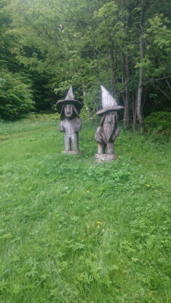
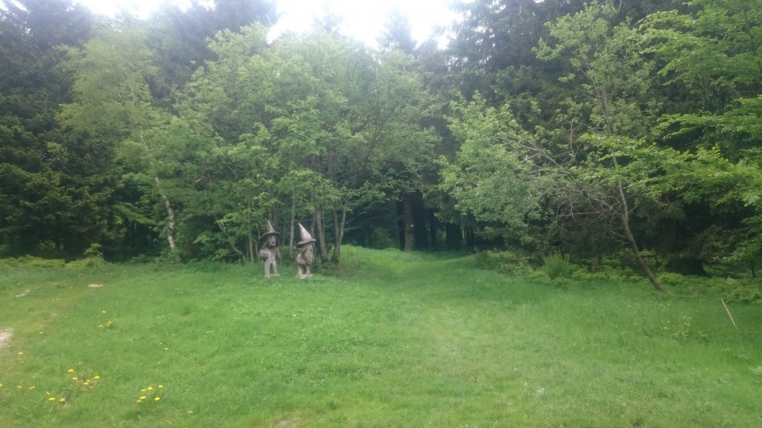
The viewing tower boasts a beautiful panoramic view of the Bavarian Forest. Handmade figures decorate the paths leading to the tower.
Equipment
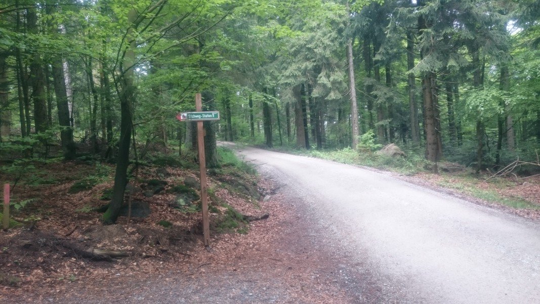
The trails are well made, so that regular trainers are sufficient unless there is rain.
Getting here
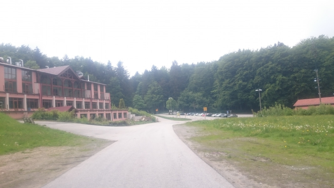
Follow motorway A3 to exit hengersberg, then continue on B5333 towards Grafenau. Leave the road at Schöfweg, then continue straight until you get to Langfurth. Behind the fire department, there is a large car park to your right.
Alternatively, follow road B85, which you exit in Schönberg, towards Innenzell. Continue to Schöfweg, then follow the road towards Langfurth again.