Around Me
Search
List
Map
Combined
+
+
Guide
Europe
Germany
Austria
Italy
Switzerland
France
Spain
Greece
Great Britain and Northern Ireland
Czech Republic
Liechtenstein
Iceland
Romania
Belgium
Hungary
Portugal
Slovakia
Ireland
Netherlands
Denmark
Norway
Finland
Malta
Sweden
Slovenia
Lithuania
Serbia
Ukraine
Poland
North America
USA
Canada
Costa Rica
Oceania
New Zealand
Australia
Africa
Egypt
South Africa
Asia
Japan
China
United Arab Emirates
Turkey
India
Azerbaijan
Georgia
Iran
Russia
South America
Brazil
Hiking
Europe
Austria
Germany
Italy
Switzerland
Liechtenstein
France
Iceland
Romania
Belgium
Ireland
Norway
Great Britain and Northern Ireland
Denmark
Sweden
Spain
Portugal
North America
USA
Canada
Oceania
New Zealand
Australia
Biking
Europe
Austria
Germany
Switzerland
Italy
Romania
Spain
Liechtenstein
Great Britain and Northern Ireland
Lithuania
Finland
France
Iceland
Ireland
North America
Canada
USA
Swimming
Europe
Austria
Germany
Switzerland
Italy
Romania
Iceland
Hungary
Spain
Belgium
Slovenia
Malta
Ireland
Netherlands
Great Britain and Northern Ireland
North America
Canada
USA
Attractions
Europe
Germany
Austria
Italy
France
Switzerland
Spain
Greece
Czech Republic
Portugal
Slovakia
Great Britain and Northern Ireland
Hungary
Belgium
Netherlands
Iceland
Ireland
Denmark
Finland
Malta
Liechtenstein
Norway
Romania
Sweden
Serbia
Slovenia
Ukraine
Poland
North America
USA
Canada
Costa Rica
Oceania
New Zealand
Australia
Africa
Egypt
South Africa
Asia
Japan
United Arab Emirates
China
Iran
Georgia
India
Azerbaijan
Turkey
Russia
South America
Brazil
Magazine
News
Award
Active
Culture
Tips
Specials
On Tour
Inside
Hike Little Mutzkopf to Black Lake and Green Lake - Nauders - Contact
Hike
Weather For Hikers
Webcams
Wall
Photos
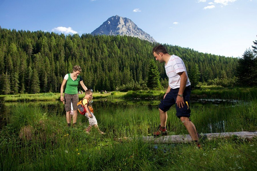
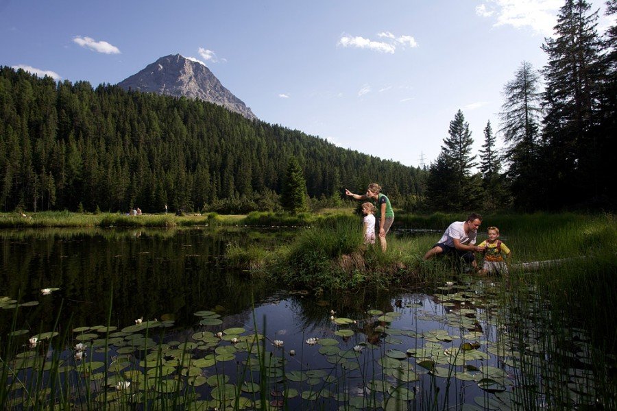
Little Mutzkopf to Black Lake and Green Lake -...
Hike
Photos
Weather For Hikers
Webcams
Hikes
Europe
Austria
Tyrol
Paznaun - Ischgl
Zillertal
Stubai
Tannheimer Tal
East Tyrol
Tyrolean Oberland
Alpbachtal Seenland
St.Anton am Arlberg
Region Seefeld
Wildschönau
Kitzbühel Alps - St. Johann - Oberndorf - Kirchdorf
Pillerseetal
Kitzbühel
Pitztal
Tyrol West
Lechtal
Kaiserwinkl
Region Hall - Wattens
Tyrolean Zugspitz Arena
Ötztal
Kitzbühel Alps - Brixental
First tourist region in Zillertal
Ferienregion Imst
Naturparkregion Reutte
Innsbruck and its holiday villages
Silberregion Karwendel
Salzburg
Vorarlberg
Styria
Carinthia
Upper Austria
Lower Austria
Vienna
Burgenland
Germany
Italy
Switzerland
Liechtenstein
France
Iceland
Denmark
Great Britain and Northern Ireland
All countries in Europe
Romania
Belgium
Norway
Ireland
Sweden
Portugal
Spain
North America
Canada
USA
Oceania
New Zealand
Australia
Magazine
News
Award
Active
Culture
Tips
All magazine categories
Specials
On Tour
Inside
Misc.
The Perfect Match
Travel Guide
Map
Sweepstakes
Surveys
Personal information
Title
Please select
Mrs.
Mr.
Family
Corporation
First Name
Last Name
Email
Your message
Your message to Nauders Tourismus (6543 Nauders).
Note
Privacy is important to us, your information will be treated confidentially and will only be stored for this requests
I have read the
Terms of Use
including the
Data Protection Regulations
and hereby declare myself to be in agreement with them.
I would like to sign up for the TouriSpo Newsletter for up-to-date information on sports and traveling
Send a copy of this request to my own email
Send
Contact
Name
Nauders Tourismus
Street / No.
Dr.-Tschiggfrey-Str. 66
Postcode
6543
City
Nauders
Website
www.nauders.com
Email
%6f%66%66%69%63%65%40%6e%61%75%64%65%72%73%2e%69%6e%66%6f
Phone
+43 (0) 50 225 400
E-Mail
Weather
(1,394
m
)
Today
18
°C
Thu
21
°C
Fri
22
°C
Weather Forecast
Webcams
All Webcams
Nearby
Dreiländergipfel Piz Lad - Ortler Alps
4.2
km
Little Mutzkopf to Black Lake and Green Lake - Nauders
5.8
km
Historical Trail Sellesköpfe in Nauders
6.1
km
Show all
Edelweiß Meadow - Fluchtwand Circuit Nauders
6.4
km
Circuit Kompatsch - Lärchenalm in Nauders
6.4
km
Circuit Nauders - Stables - Ebene 2.555m
6.7
km
Trail Plamortböden
8
km
Belpiano – Malga S. Valentino Panoramic Trail
8.8
km
Loop trail Samnaun - Rotes Seeli
9.6
km
The Venosta Valley High Mountain Trail
48.2
km
Glacier hike Silvretta Mountain Range
9.6
km
Rate the Hike
0
(0)
Share this page
Share
Tweet
Mail
Image Gallery
See all images
News about other destinations
Snow
Weather
Video
Webcam
Offer
Upper
cm
305
Lower
cm
0
Open Lifts
9/23
Current snow conditions at Hintertux Glacier
Wednesday
10
°C
Thursday
6
°C
Friday
5
°C
Saturday
6
°C
The current weather at Hintertux Glacier
Unlimited Fun on the Slopes
The Hintertux Glacier boasts the
longest ski season
in Austria! Skiing starts in early fall and continues well into spring. Hit the slopes!
More
Schnee
Wetter
Video
Webcam
Angebot
Upper
cm
0
Lower
cm
0
Open Lifts
0/69
Current snow conditions in Zermatt
Wednesday
3
°C
Thursday
0
°C
Friday
1
°C
Saturday
2
°C
The current weather in Zermatt
Kleinmatterhorn Zermatt
Alpine skiing pleasure all year round
Ready, Set, Ski! 360 kilometers of perfectly groomed slopes are waiting for you in the snow-sure ski resort
Matterhorn Ski Paradise in Zermatt.
More
Advertisement
Login