Route description
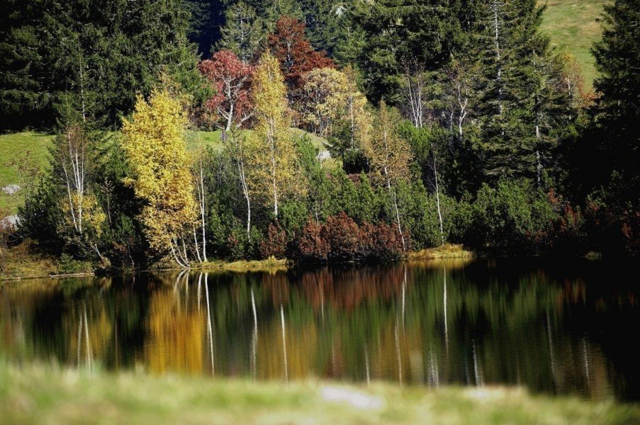
The hike starts and ends at the top station of Imbergbahn. You first walk to Hörmoos Alp. Hike around the lake, walk through Häderichmoos, and then continue on the south side of Glutschwendereck and Fluh. Follow Alpenerlebnispfad trail back to where you started.
Where to eat
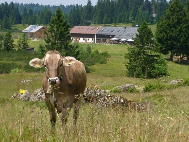
The four options to stop for food are at the Alps Oberstieg, Hörmoos, Hochwies, and Hochbühl.
Interesting facts
- You're traveling a distance of 13 km on this strenuous trail. Average length of all hikes in Bavaria is 49 km.
- You're facing an uphill climb of 532 vertical meters on this hike. The highest point of the track is 1,339 m above sea level.
- Don’t hesitate to take your kids along on this strenuous hikes. The hike is also perfect if the kid’s wanna bring their dog on the trip. (See all dog friendly hikes in Bavaria.)
- Make sure to bring sturdy footwear on this track. Hiking boots are highly recommended. If you get hungry along the way, there are places to rest and get food. Nevertheless it’s recommended to also have enough water and food in your backpack when hiking or biking.
Video
Equipment
Hiking boots are recommended. You should bring provisions and weather-proof clothing.
Getting here
By car
From the north, follow motorway A7 to Allgäuer Kreuz, where you change onto A980 towards Lindau. Leave the motorway at exit Waltenhofen, where you follow B19 towards Immenstadt. From there, follow the signs pointing to Oberstaufen/Lindau on B308.
Coming from Munich/Memmingen, follow motorway A96 to exit Wangen im Allgäu. Change onto B32. At the next bigger junction, turn right towards Lindau, but turn left onto B32 shortly after. Continue until you can turn onto B308 towards Oberstaufen. Keep on this road to get to Oberstaufen.
From Lindau, follow B308 to Oberstaufen.
From Switzerland or Austria, you should look out for motorway A96 towards Lindau. At exit Lindau, change onto B308 to Oberstaufen.
Once you have made it to Oberstaufen, leave the road and change onto St2005. In Weissach, turn onto OA25, Am Hößl. You pass Steibis, and continue straight until you can turn right into In der Au. After a few kilometres, you will see the base station of Imbergbahn at your right. Car parks are available at the base station. The cable car gets you to the start of the hike.
Public transportation
Oberstaufen railway station is well connected to bigger train stations. For instance, take the train going from Munich/Ulm via Kempten to Lindau. From Lindau, there are regular connections to Oberstaufen.
From Oberstaufen, a bus goes to Hochgratbahn. Take this bus to the stop Imbergbahn.