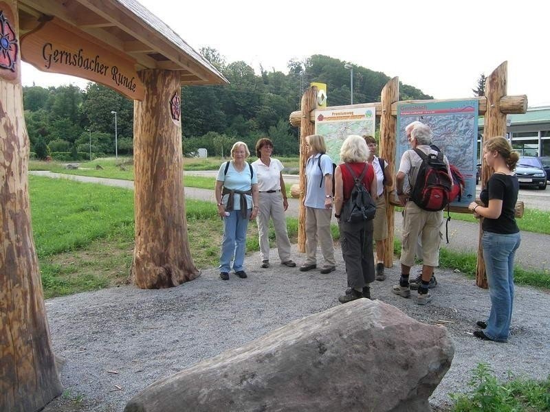
Route description
Tour Planning
All in all, the tour covers 40 kilometres (25mi) and takes two or three days. Many guest houses are located along the way and at some point you will have the opportunity to take a bus or the tram back to Gernsbach.
Past Laufbach Waterfalls Following Ebersteiner Rose
The tour starts in Laufbachtal valley. Follow the sign towards Ebersteiner Rose and hike slighty upwards towards Loffenau. Pass the Laufbach waterfalls to get into the village and continue to Lautenbach.
To Alte Eichen Through Steintal Valley
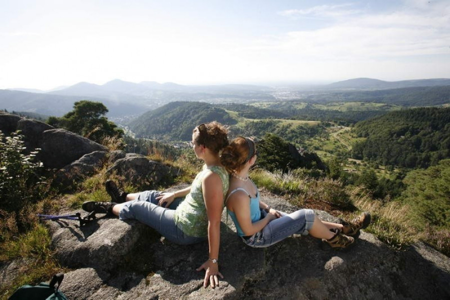
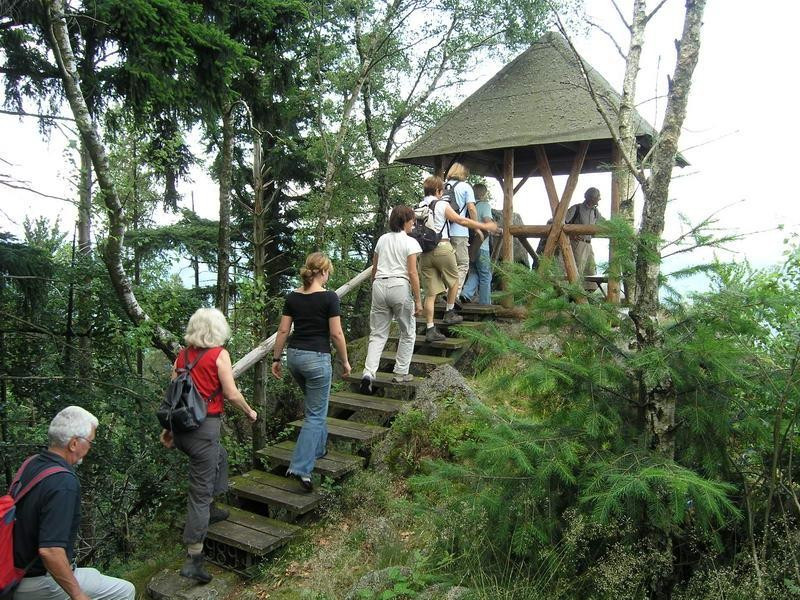
Afterwards, hike through valley Steintal and across the meadows Ahornwiesen towards the rocks called Lautenfelsen, which are protected because of the hawks breeding there. Next stop is the hut Elsbethhütte, where you will have a great view across the valley Murgtal. One of the highlights of the tour is the hike through the rocks. Then continue towards the hut Haselgrundhütte and the resting spot Alte Eichen.
Descent via European Art
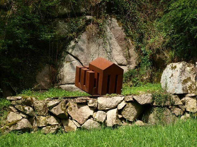
From there, start descending into valley Reichental and continue to Murg. Along the way you will be able to see artworks by Baden-Wuerttemberg and European artists. Just before Hilpertsau, after 20km (12mi) of the tour, you have the opportunity to take the tram (S41) back to Gernsbach.
Along Gernsbacher Sagenweg
After crossing the street and river Murg, the path continues behind the bridge. Stay on the hiking trail called Murgtalwanderweg until you reach Obertsrot. The path will then lead to the chapel Antonius, while a great view across castle Eberstein and its vineyards will open up. Afterwards, the hiking trail Gernsbacher Sagenweg will guide you to the pit called Erzgrube, past rocks and the mountain Amandaschau to the mountain hut Saulachkopfhütte and guest house Nachtigall.
Up Mountain Großer Staufenberg
The last ascent starts here. Hike up the mountain Merkur, also called Großer Staufenberg. Up at the top you will have a great view across Baden-Wuerttemberg and the valleys Murgtal and Rheintal. Continue across the mountain ridge Sattely to Gernsbach and enjoy the view on Staufenberg and Gernsbach.
Back to Gernsbach via Lieblingsfelsen
The hike further continues to mountain Galgeneck, the so called Steinerne Sitzbank (engl. stony bench) and the rock Lieblingsfelsen. Afterwards, on to Weinau and back to the train station in Gernsbach, where the tour ends.
If you managed to finish the tour, you can pick up a little souvenir at the tourist information.
Interesting facts
- With an overall length of 43 km the hike is among the 5 longest hikes in Baden-Württemberg available on TouriSpo.
- You shouldn’t forget to bring your hiking boots. There are some sections on the trail where sturdy footwear is required. There are places to buy beverages and food along the track. However it’s always recommended to bring enough water and food along with you.
Highlights of the tour
Great views, beautiful forests and fantastic Alpine hiking trails.
Equipment
We recommend sturdy shoes and maybe hiking poles. Remember to bring enough water since there will be long distances without an opportunity to buy some.
Getting here
By car:
To get to the starting point most conveniently is to take motorway A5 Karlsruhe – Basel and exit in Rastatt Nord. Afterwards, take B462 towards Gernsbach, turn into the historic part of the town and continue until you pass the train station and reach park & ride. From there it takes approximately 10 min by foot to get to the starting point.
On public transportation:
From Karlsruhe you can easily reach Gernbach via tram S41. In Gernsbach again it will take you 10 min by foot to get to the starting point.
Starting point is the hiking portal in Laufbachtal.