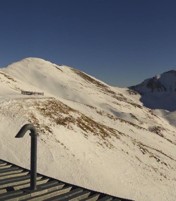
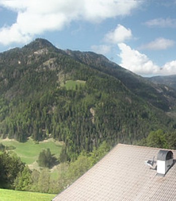
Webcam location at top station of chair lift Plancios in ski resort Plose near Brixen.
13 minutes ago
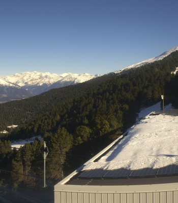
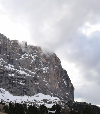
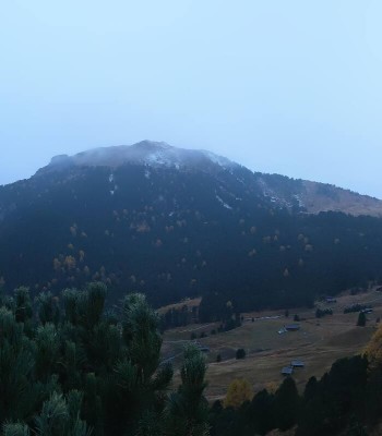
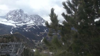
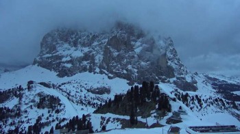
View of Monte Fana near Brixen, South Tyrol.
8 minutes ago
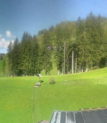
This web cam at Plose Restaurant La Finestra overlooks Kreuztal valley at Plose Brixen ski resort.
8 minutes ago
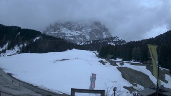
The webcam shows you the area Kreuztal with a chapel as well as the surrounding mountains.
1 hour ago
Beautiful view from mountain hut Geisleralm to Geislerspitzen.
4 minutes ago
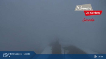
Located at Seceda thes webcam shows you the view towards South facing the mountains of Sella and Langkofel
1 hour ago
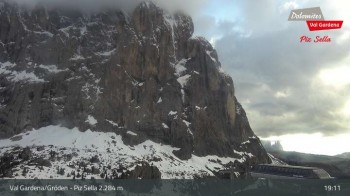
Your view from the top station of Piz Sella in Val Gardena in South Tyrol. Have a look at Sassolungo and the Sella group.
1 hour ago
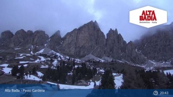
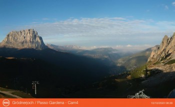
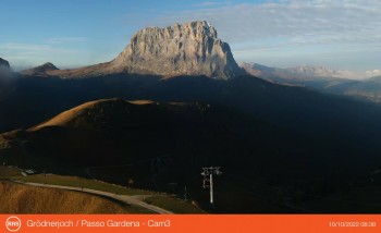
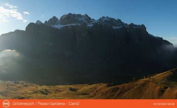
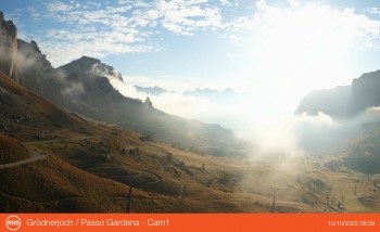
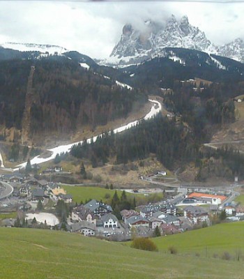
Here you can see Passo Gardena as well as the mountain-scape surrounding Alta Badia.
1 hour ago
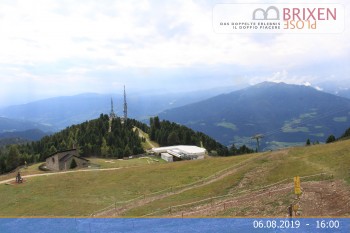
Here you see lift Rifugio Cai at Plose Brixen ski resort, Plosenhütte Rifugio Plose, and Dolomite High Route 2.
temporarily unavailable
Enjoy the view from Col Raiser towards Piz Sella, Ciampinoi and the Sella group in Val Gardena.
57 minutes ago
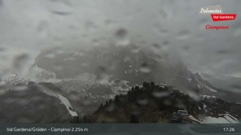
Check out the view from top station of the gondola Ciampinoi in Val Gardena.
1 hour ago
Enjoy the view at the top station Dantercepies in Val Gardena.
1 hour ago
Enjoy the view from the top station Dantercepies to the west.
13 minutes ago
View from the top station Dantercepies at Grödnerjoch.
13 minutes ago
Enjoy the view from the top station Dantercepies at Grödnerjoch.
13 minutes ago
The webcam is located on the Grödnerjoch at the top station Dantercepies.
13 minutes ago
Beautiful view from top station Ciampinoi in Val Gardena, South Tyrol.
5 minutes ago
View of the Saslonch summit (3181 m) from the Piz Seteur mountain hotel.
temporarily unavailable
View from the Alpenhotel Plaza towards the Langkofel summit.
temporarily unavailable
Webcam located at downtown of St. Ulrich in Val Gardena, South Tyrol.
8 minutes ago
Enjoy a great panoramic view from the 4-star Hotel Ansitz Jakoberhof in Ortisei in Val Gardena - South Tyrol.
4 minutes ago
Great view the valley station from the Col Raiser Cable Car.
5 minutes ago
Col Raiser Hut in Val Gardena.
8 minutes ago
View Dantercepies to the Val Gardena / Sëlva.
7 minutes ago
View from top of Seceda (2519 m) in Val Gardena / South Tyrol.
1 minute ago
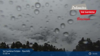
Located at the 2.132 meter (6.995 ft) high Resciesa you can enjoy the view of the surrounding mountains and and the town of Ortisei
1 hour ago
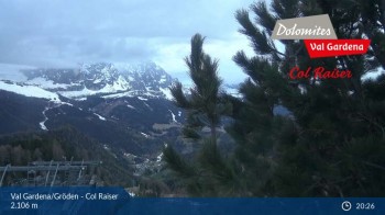
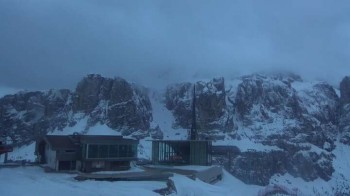
Located at the 2.106 meter (6909 ft) high Col Raiser you can enjoy the view of Langkofel in the south
temporarily unavailable
Situated at Dantercepies you can enjoy the view towards South facing Langkofel
2 minutes ago
Take a look at the top station at Champinoi at an elevation of 2.280 (7480 ft)
2 minutes ago
Situated at the Zone Solaria, the webcams shows the city St. Ulrich as well as the Sella and Langkofel Group.
5 minutes ago
Have a look at St. Christina (elevation 1.428m), the Saslong and the surrounding mountains.
5 minutes ago
Situated at Tublá (elevation 1.783m), you can see Wolkenstein as well as the Sella and Langkofel Group
3 minutes ago
Situated at the lift of Plan de Gralba, you can have a look at the slopes of Piz Sella.
4 minutes ago