Hike Emerald Trail - St. Moritz to Sils Maria in Engadin St. Moritz: Position on map

Webcams around the Hike Emerald Trail - St. Moritz to Sils Maria (Engadin St. Moritz)

Emerald Trail - St. Moritz to Sils Maria
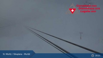
Silvaplana Murtel
Elevation: 2,317 m
View over the Upper Engadine lakes in Graubünden from the Murtel station.
1 hour ago
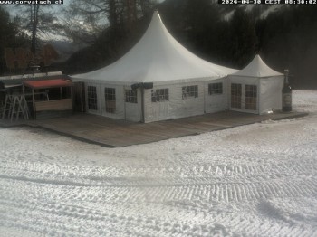
St. Moritz - Corvatsch: Hossa Bar
Elevation: 2,089 m
View of Hossa Bar in Corvatsch Ski Resort near St. Moritz
1 hour ago
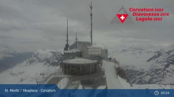
Corvatsch: View from Top Station
Elevation: 3,303 m
Beautiful view to Lake Silvaplana from Corvatsch mountain.
1 hour ago
Engadin Muottas Muragl
Elevation: 2,450 m
Your view of the Ski Resort St. Moritz - Muottas Muragl (Engadin - Graubünden) in Switzerland.
59 minutes ago
mountain station - Chantrella lift
Elevation: 2,486 m
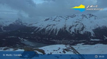
Here you can look around at the slopes of Corviglia
54 minutes ago
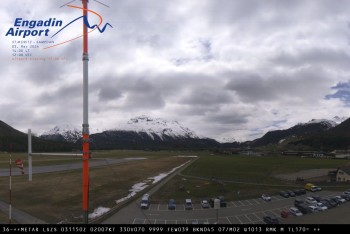
Samedan I Airport orientation west
Elevation: 1,706 m
6 minutes ago
Engadin - Lake Silsersee
Elevation: 1,848 m
Enjoy the view of the lake Silsersee in Engadin in Switzerland.
temporarily unavailable
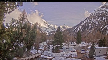
Morteratsch camping area, Engadin
Elevation: 1,867 m
The webcam shows parts of the camping area Morteratsch which is located in the alpine area Engadin.
9 minutes ago
St. Moritz village II View from Hotel Schweizerhof towards St. Moritz Bad
Elevation: 1,821 m
This is how you see St. Moritz Bad from Hotel Schweizerhof.
4 minutes ago
Webcam is Missing

A webcam is missing? Do you know the source of another one?
Advertisement

All Webcams on the map

Webcam Information

  • 9 webcams are located near the Hike Emerald Trail - St. Moritz to Sils Maria. The webcams fall into three groups, namely 4 live streaming webcams, 3 panoramic webcams und 2 further webcams.
  • The highest webcam (Corvatsch: View from Top Station) is situated 3303 metres above sea level, wheras the lowest webcam (Samedan I Airport orientation west) is situated 1706 metres above sea level.
  • Most popular webcam in the Hike Emerald Trail - St. Moritz to Sils Maria's vicinity: Silvaplana Murtel.