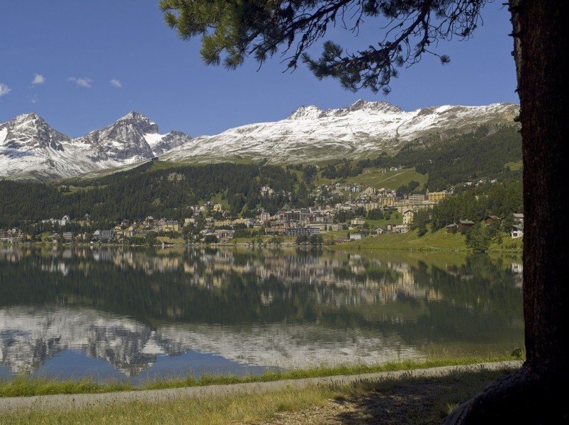
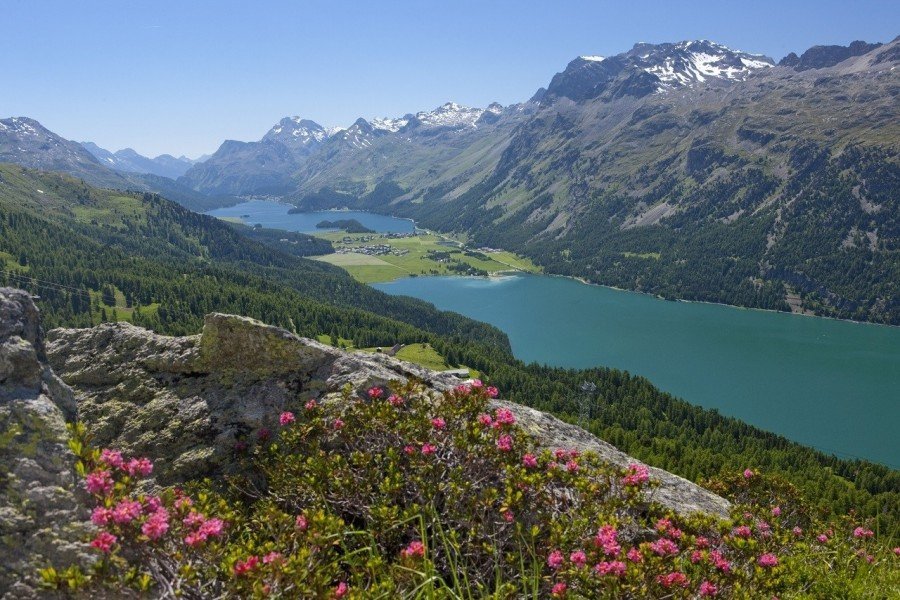
Hike Emerald Trail - St. Moritz to Sils Maria in Engadin St. Moritz: Position on map

Hike Emerald Trail - St. Moritz to Sils Maria

Emerald Trail - St. Moritz to Sils Maria

Elevation

Min: 1,771 m
Max: 1,920 m
Uphill: 690 m
Downhill: 717 m
  • Upload GPS data
About the author
last update on 12 Sep 2016
Rate the Hike
0
(3)
Travel Deals & Tips
Advertisement
Advertisement
Advertisement
Facts
Difficulty
Easy
Distance: 16.82 km
Duration:5 h 30 min
Min: 1,771 m
Max: 1,920 m
Uphill: 690 m
Downhill: 717 m

Trail characteristics

Asphalt
Dirt road
Forest track
Hiking trail

Interesting facts

Read more
  • With an overall length of 17 km the hike is among the 15 longest hikes in Switzerland available on TouriSpo.
  • Emerald Trail - St. Moritz to Sils Maria is among the 10 best rated Hikes in Switzerland.
  • You're facing an uphill climb of 690 vertical meters on this hike. The high point of the hike is located at an elevation of 1,920 m.
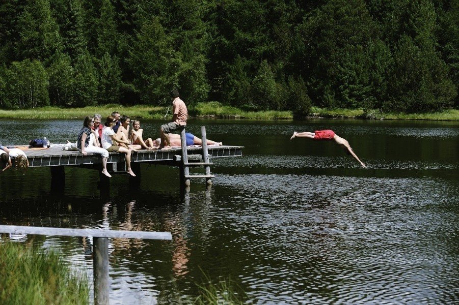
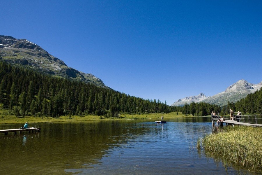
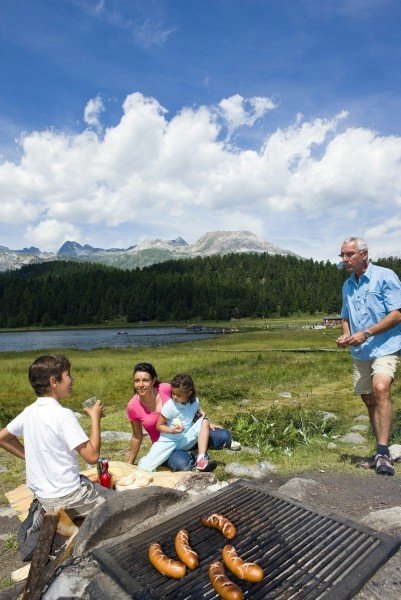
  • This easy hike is perfect for the whole family. The hike is also perfect if the kid’s wanna bring their dog on the trip. (See all dog friendly hikes in Grisons.)
  • Sturdy hiking boots are recommended on this track. If you get hungry along the way, there are places to rest and get food. Nevertheless it’s recommended to also have enough water and food in your backpack when hiking or biking.

Contact

Engadin St. Moritz
CH - 7500
St. Moritz
E-Mail
%61%6c%6c%65%67%72%61%40%65%73%74%6d%2e%63%68
Phone+41 81 830 00 01
Fax+41 81 830 08 18
Travel Deals & Tips
Advertisement

Comments

Rate the Hike
No posts available yet:
  • Nobody has posted on the wall of the Hike "Emerald Trail - St. Moritz to Sils Maria" yet
  • Be the first to comment!
Login with Google+
  • Share your personal insider tip and create new entries
  • Explore fantastic outdoor destinations when and where you want
  • Find your dream destination or discover the world on the interactive map