Route description
From Bodenmais Car Park to the Rißloch Waterfalls
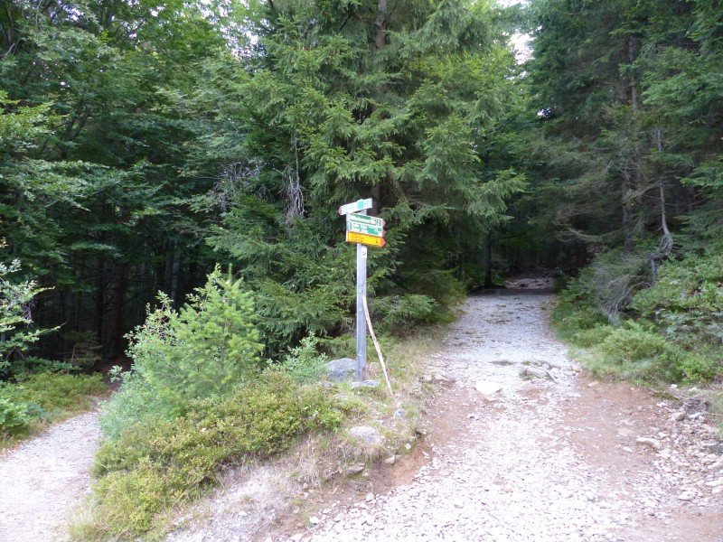
From the hiking car park in Bodenmais, follow the slightly ascending green marked hiking trail number 2 at the right bank of Rißbach river. After 10 minutes, you get to a fork in the path. The trail to the left requires a safer step, as you need to cross bigger cliffs there. The path to the right will be our way back.
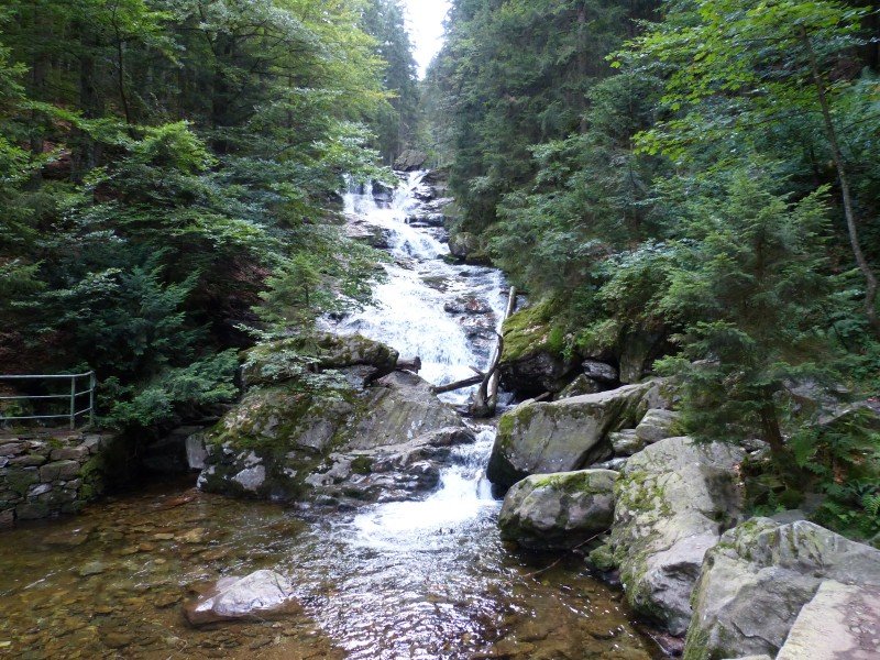
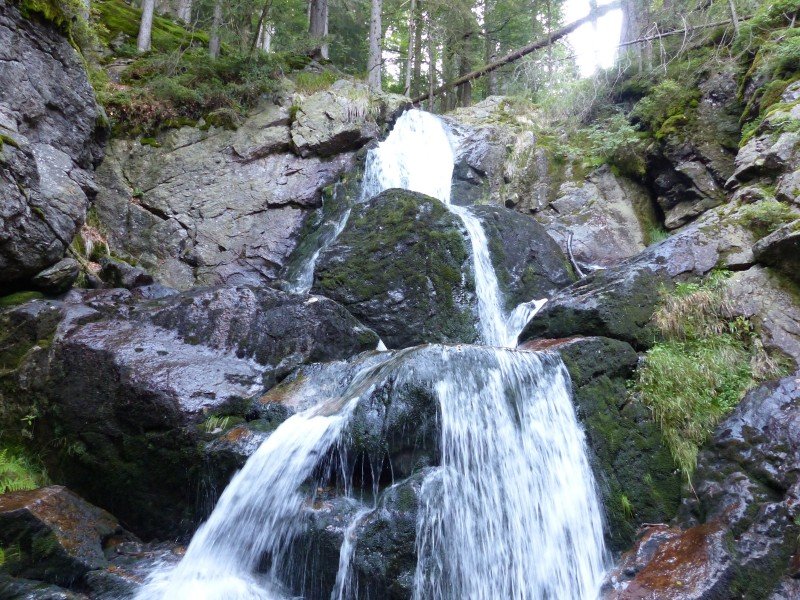
Take the left path, which leads along Rißbach. After 15 minutes, cross a small wooden bridge and follow the steeper path up to the Rißloch Waterfalls, the highest waterfalls in the Bavarian Forest.
Via Arberschachten and Arbersteig up to Bodenmaiser Mulde
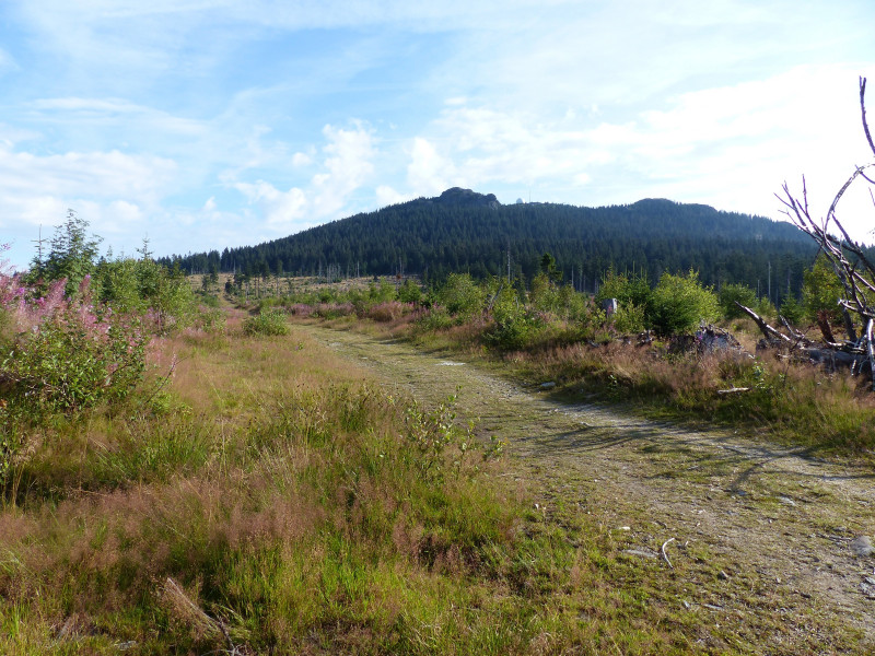
Go back the way you came for a few steps and continue following path no. 2 towards Großer Arber. Follow Arberhochstraße for a little, then turn right onto a stony hiking path, which continues uphill. After crossing another forest path, you get to the junction 'Mittagsplatz'. Follow the rocky path to the left uip to Arberschaften, an Alp meadow still grazed by cows.
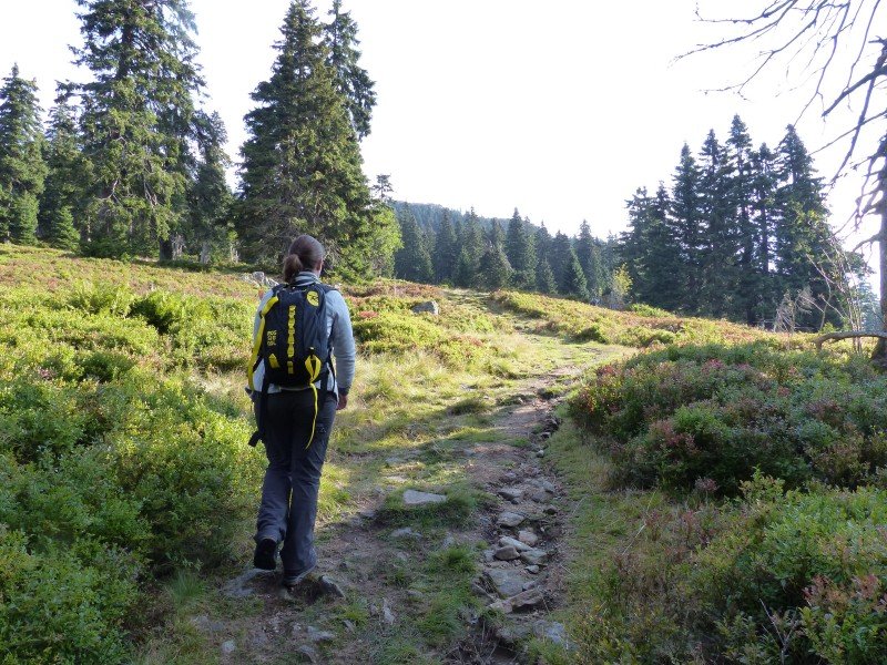
Cross Auerhahnstraße, a forest road popular with mountain bikers, and follow Arbersteig trail to the right. The grass trail leads you over meadows and steeply up to Bodenmaiser Mulde, with wooden benches and information boards. This is a last opportunity to rest and enjoy the view before making it up to the summit.
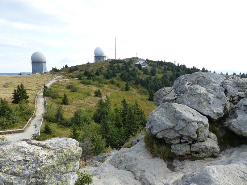
Ascent to the Summit Plateau
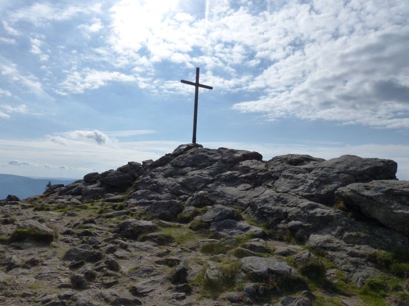
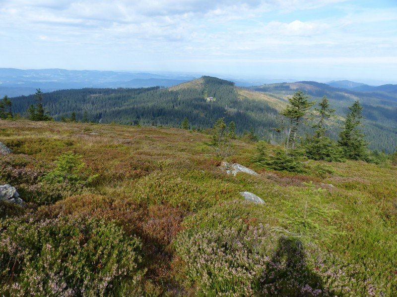
Wooden steps lead steeply but quickly up to the summit of Bavarian Forest's highest peak. Follow the summit cercuit and stop to enjoy the view over the peaks of the national park. Eventually, ascend to the actual peak above Zwieseler Hütte.
Back to the Car Park
After you got yourself something to eat at Arberschutzhaus hut underneath the summit plateau, descend back down to Bodenmais.
Where to eat
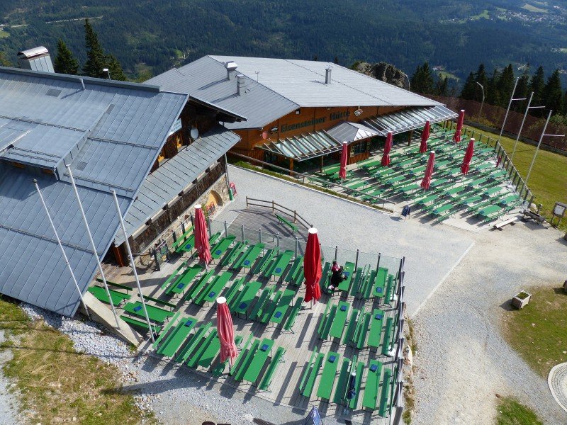
You can get some food and drink at the mountain huts Arberschutzhaus and Eisnsteiner Hütt'n underneath the summit plateau and the top station of the gondola. The extensive decks invite you to enjoy the sun and treat yourself to a nice meal.
Interesting facts
- You're traveling a distance of 14 km on this moderate trail. The average length of all hikes in Bavaria is 49 km.
- Elevated between 667 m and 1,459 m, the hike is among the 15 highest elevated hikes in Germany. You're facing an uphill climb of 1341 vertical meters on this hike. This makes the hike one of the 10 hikes with the most ascent in Bavaria.
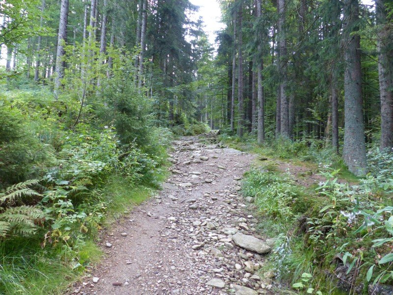
- You shouldn’t forget to bring your hiking boots. There are some sections on the trail where sturdy footwear is required. There are places to buy beverages and food along the track. However it’s always recommended to bring enough water and food along with you.
Video
Highlights of the tour
- Rißloch waterfalls, the highest of the Bavarian Forest
- Bodenmaiser Mulde with beautiful view over the Bodenmais region
- Großer Arber summit plateau
Variations
Descent via Chamer Hütte and Kleiner Arber
Following the yellow S of Goldsteig trail at Modenmaiser Mulde to the right, turn onto the forest road. After a few minutes, turn right onto the forest path leading to Chamer Hütte. From there, you get to Kleiner Arber peak in around 10 minutes. Back at chamer Hütte, follow path 2a and the blue S of Goldsteig back to Bodenmais. After around 20 minutes, you are back underneath the Rißloch waterfalls. This variation prolongs the hike for around 2km.
Circular Tour at Rißloch Waterfalls
If you don't quite have the stamina for the partly steep ascent to Großer Arber peak, you can opt for the left, rocky path up to Rißloch waterfalls at the junction after the car park. From the waterfall, follow the wider path back to the car park. This shortens the tour, making it better suited to families with younger children.
Equipment
- sturdy shoes
- sufficient water
Getting here

You can get to the hiking car park at the end of Rißlochweg in Bodenmais by following the signs pointing to Bahnhof (Waldbahn). After you have crossed the train tracks, drive to the end of the asphalted road, which leads you right to the Rißlochfälle car park. Enter Rißlochweg, 94249 Bodenmais into your GPS.