


Route description
Leg 1:
From the hiking car park Kleiner Arbersee you'll be hiking to the Reißbrücke. After the bridge, you'll be heading leftwards into a forest path, along Weißer Regen, which emerges there. At the next turn-off, you'll turn left. Keep on this way until you get to the next junction and then turn right. This way, then, leads to better signposted hiking paths.
Leg 2:
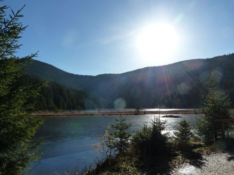
Now you'll be hiking on the designated hiking paths Gläserner Steig, Blauer Goldsteig and LO3. At a certain point along a stream, you'll reach small waterfalls, where you'll turn left. This path will become stony and ends in a wide forest path. At the mouth of the path, you'll stick to the left. At the next turn-off, you'll continue towards the right. If you keep hiking this way, you'll reach the Kleiner Arbersee, which was created during the last ice age. There, you'll have the chance to have a rest at the Arber Seehäusl.
Leg 3:
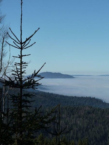
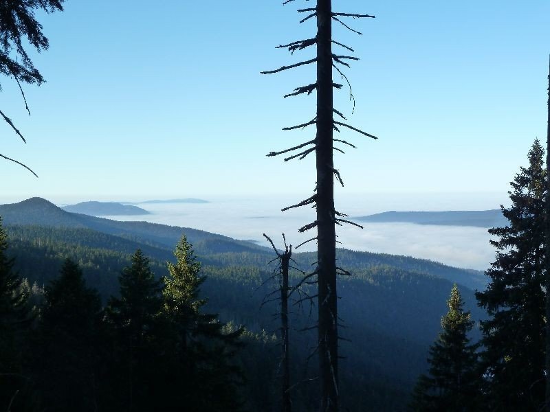
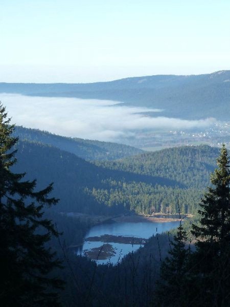
After having eaten at the Seehäusl, you'll carry on leftwards along the lakeside, following the signs labelled LO3. Once you have reached the other lakeside, you'll discover a forest path on the left leading upwards to the destination of this leg, Berggasthof Sonnenfelsen. You can get here through numerous steep serpentines. In any case, it is worth taking the steep path. If the weather conditions allow it, you'll be able to enjoy a fantastic view on the national park Bayerischer Wald from the sun terrace.
Leg 4:
At the Berggasthof, a signpost will show you the way to the next destination. Follow the signs via the ski slopes of the Arber to Brennes. Still on LO3, you'll be led back into the forest. Towards the left, the path will turn into a forest road. Passing the Mooshütte, you'll be heading further downhill. After the Mooshütte, you'll need to turn right. At its end, the forest road meets a street at Ebensäge. If you keep hiking straight forward, you'll get to the Brotzeitstube Ebensäge. From here, it won't be far to the starting point of the tour. The hiking path LO4 will take you back to the hiking car park Kleiner Arbersee.
Interesting facts
- You're traveling a distance of 14 km on this moderate trail. Average length of all hikes in Bavaria is 49 km.
- You shouldn’t forget to bring your hiking boots. There are some sections on the trail where sturdy footwear is required. If you get hungry along the way, there are places to rest and get food. Nevertheless it’s recommended to also have enough water and food in your backpack when hiking or biking.
Video
Equipment
It is a tour full of steep paths. Occasionally, you'll need to overcome roots and some rocks on your way. Solid footwear is therefore indispensable and absolutely necessary. Hiking footwear is highly recommendable and the best choice for this kind of tour.