Hike Murtel to Pontresina via Val Roseg in Grisons in Engadin St. Moritz: Position on map

Hike Murtel to Pontresina via Val Roseg in Grisons

Murtel to Pontresina via Val Roseg in Grisons

Elevation

Min: 2,573 m
Max: 2,754 m
Uphill: 669 m
Downhill: 788 m
  • Upload GPS data
About the author
last update on 6 Aug 2018
Rate the Hike
0
(0)
Travel Deals & Tips
Advertisement
Advertisement
Advertisement
Facts
Difficulty
Moderate
Distance: 22.21 km
Duration:5 h 30 min
Min: 2,573 m
Max: 2,754 m
Uphill: 669 m
Downhill: 788 m

Best Season

Trail characteristics

Dirt road
Forest track
Hiking trail

Interesting facts

Read more
  • With an overall length of 22 km the hike is among the 10 longest hikes in Switzerland available on TouriSpo.
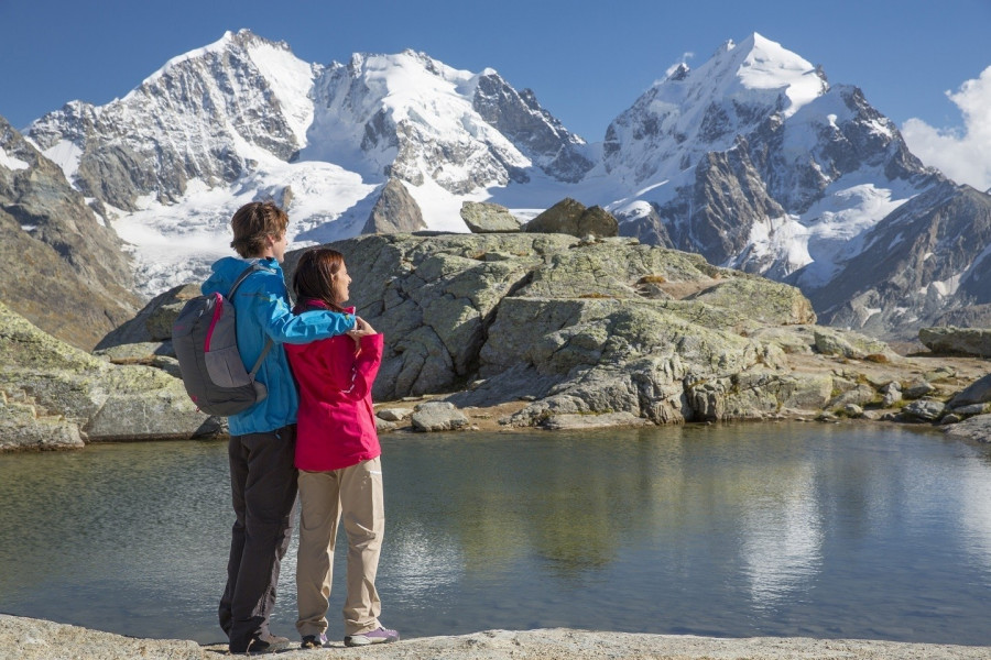
  • Elevated between 2,573 m and 2,754 m, the hike is among the 10 highest elevated hikes in Switzerland. You're facing an uphill climb of 669 vertical meters on this hike.
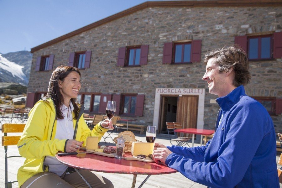
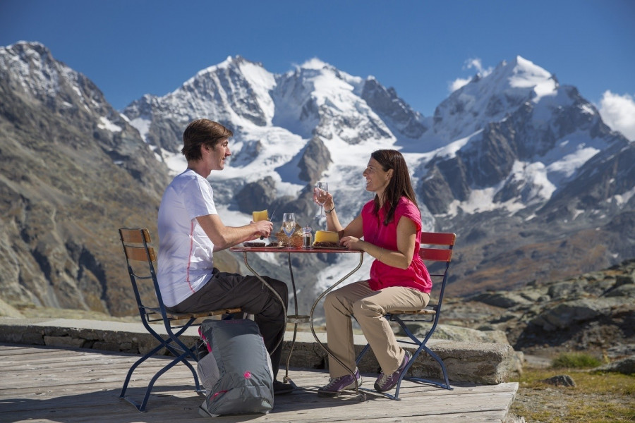
  • Sturdy hiking boots are recommended on this track. There are places to buy beverages and food along the track. However it’s always recommended to bring enough water and food along with you.

Contact

Engadin St. Moritz Tourismus
Surlej
7513
Silvaplana
E-Mail
%61%6c%6c%65%67%72%61%40%65%73%74%6d%2e%63%68
Phone+41 81 830 00 01
Fax+41 81 830 08 18
Travel Deals & Tips
Advertisement

Comments

Rate the Hike
No posts available yet:
  • Nobody has posted on the wall of the Hike "Murtel to Pontresina via Val Roseg in Grisons" yet
  • Be the first to comment!
Login with Google+
  • Share your personal insider tip and create new entries
  • Explore fantastic outdoor destinations when and where you want
  • Find your dream destination or discover the world on the interactive map