Route description
Water Trail
Circular walk passing six alpine lakes
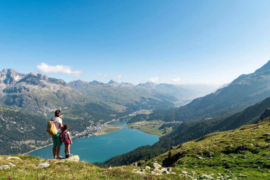
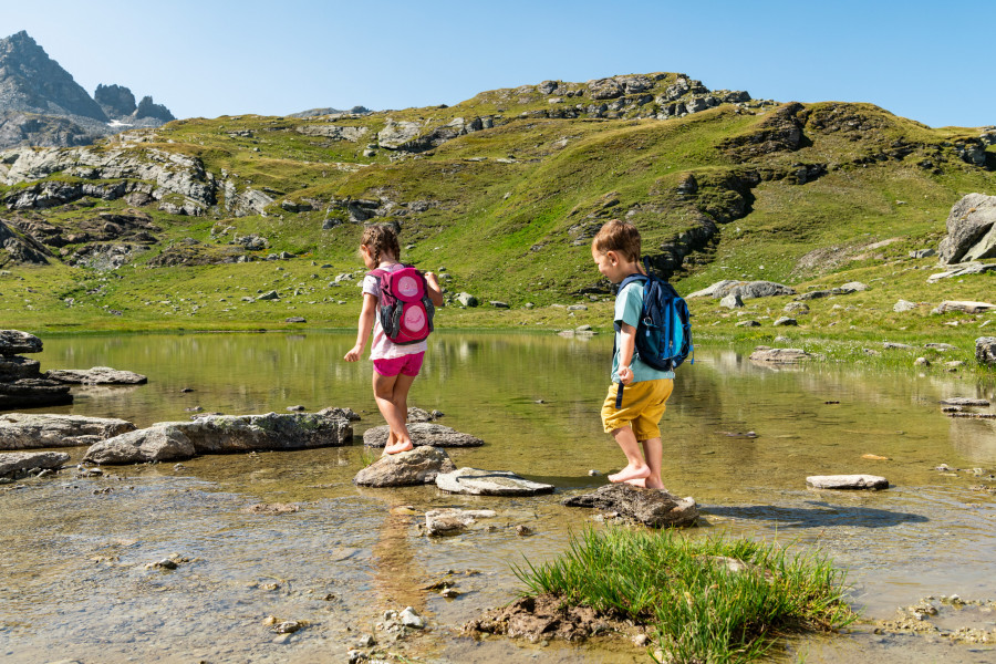
The Water Trail is one of the hiking highlights on Corvatsch. From the Furtschellas middle station (2312 m), the 2½-hour circular walk takes you past six crystal-clear mountain lakes. The trail goes first towards Alp Munt, then branches off to the left and climbs steeply uphill for a short time. Your efforts are soon rewarded when the first of the six lakes comes into view, Leijn Cristal. This is followed by Lejin Magnetit, Lejin Malachit, Lejin Rhodonit, Lejin S-chaglia and finally Lejin Epidot. All the way along this family-friendly walk, you have wonderful views up to the icy pinnacles and rocky crags of the Corvatsch massif.
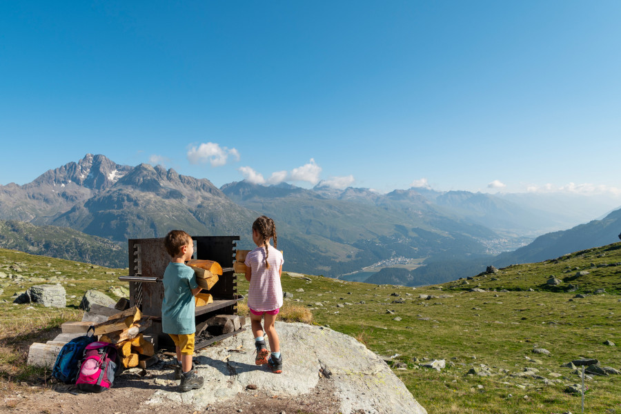
Barbecue at the lake
An open fire area, complete with ready-to-use wood and a metal grill, is available for our guests at Lejin Rhodonit (near the Ustaria Rabgiusa - closed in summer). Rustic tables and benches invite you to relax and enjoy your barbecue. Tasty sausages and cervelats can be purchased at the mountain restaurant La Chüdera. And of course, the La Chüdera restaurant also offers tasty treats and a big sunshine terrace – relax and enjoy yourself at 2300 m above sea level!
Fairytale Water Trail for the little ones
Take a walk with "Mara" the mountain fairy and the cheeky goblin, "Furbaz": the colourful "Plitsch and Platsch" booklet is full of fun and games for children, and tells an exciting story about the walk. The booklet is available free of charge at the valley stations Corvatsch and Furtschellas cable cars.
Note:
The Trail is not recommended for buggies!
Facts & Figures
- Duration: about 2 1/2 hours
- Length: 5km
- Difference in altitude: 333 m
- The path is marked with white-red-white poles
- Level of difficutly: middle and on good nogitable hiking trails
Where to eat
La Chüdera Furtschellas
Interesting facts
- You're traveling a distance of 5 km on this easy trail. The hike is therefore not too long. Average length of all hikes in Grisons is 12 km.
- Elevated between 2,317 m and 2,670 m, the hike is among the 15 highest elevated hikes in Switzerland. You're facing an uphill climb of 360 vertical meters on this hike.
- The hike is one of the family friendly trails in the region. The hike is also perfect if the kid’s wanna bring their dog on the trip. (See all dog friendly hikes in Grisons.)
- You shouldn’t forget to bring your hiking boots. There are some sections on the trail where sturdy footwear is required. If you get hungry along the way, there are places to rest and get food. Nevertheless it’s recommended to also have enough water and food in your backpack when hiking or biking.