Route description
Start the Tour in Reit im Winkl
The tour starts at the town centre of Reit im Winkl, where you follow Dorfstraße. At the sharp left turn of the main road, turn right onto Am Grünbühel. Walk to the edge of the forest, where the actual hiking trail starts. You can follow the path marked 1. Ascend through the forest until you get back to a made trail. Turn left, and follow the trail until you get to a junction. At the hut, turn right.
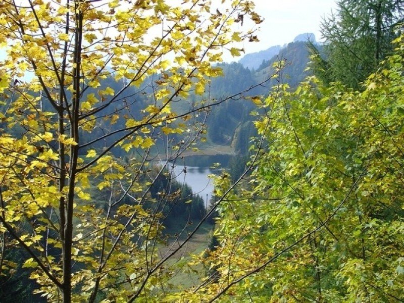
View over Taubensee Lake
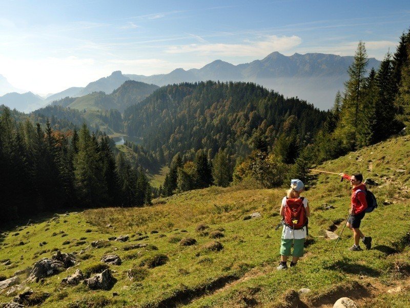
After a small clearing, the path goes back into the forest to the right. A curvy trail leads you up the mountain until you reach a fork. Go right, following the path until you continue on the mountain ridge. You are now in the German-Austrian border area, and should soon be able to see Taubensee lake.
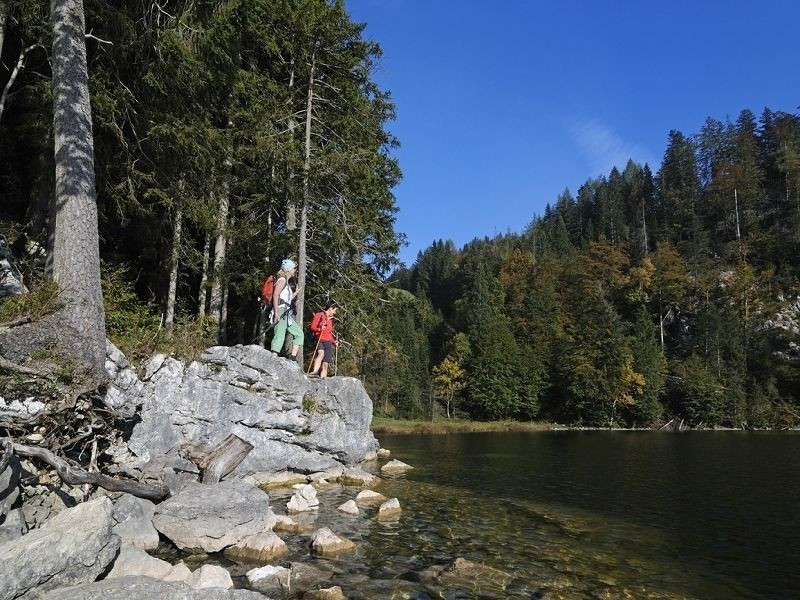
Back over the Alps
You should definitely take a break here, as the see is particularly idyllic. Alternatively, continue to Taubensee mountain hut to take a break there. After your break, find the path that gets you back. Walk past a few Alps, usually open daily during the summer. The descent takes you back to the for, where you follow the way you came in opposite direction to get back to the valley. At the next fork, turn right and walk back to Reit im Winkl.
Where to eat
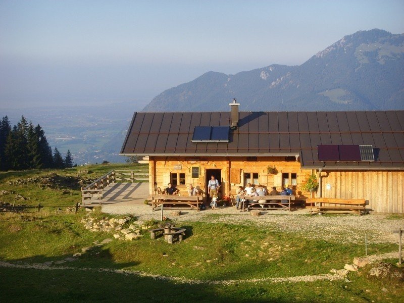
This tour features numerous opportunities to rest and eat. Taubenseehütte is a mountain hut that is usually open all year, with closing day on Monday. Hutzenalm is also a good place, closed only on Tuesdays. Furthermore, you can try Stoibenmöseralm during the summer.
Interesting facts
- You're traveling a distance of 17 km on this moderate trail. The average length of all hikes in Bavaria is 49 km.
- You're facing an uphill climb of 759 vertical meters on this hike. The hike takes you to an elevation of 1,288 m.
- You shouldn’t forget to bring your hiking boots. There are some sections on the trail where sturdy footwear is required. There are places to buy beverages and food along the track. However it’s always recommended to bring enough water and food along with you.
Video
Equipment
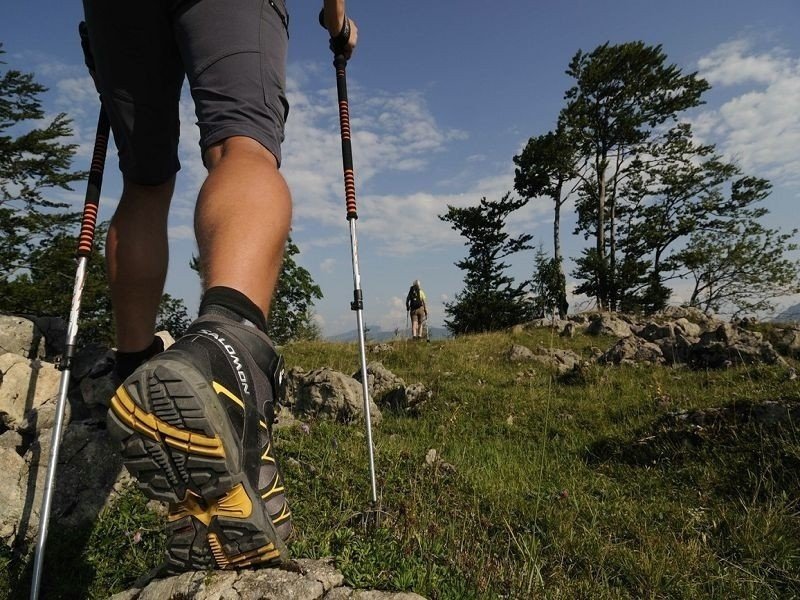
As you walk over a few mountain ridges as well as narrow paths, sturdy shoes are a must.
Getting here
By car
From Munich, follow motorway A8 towards Salzburg/Nürnberg/Flughafen München. Keep right at Inntal Dreieck to continue on A93 towards Verona/Brenner/Innsbruck/Kufstein/Österreich/Italien. Leave the motorway at exit 59 towards Oberaudorf. Turn right onto Tiroler Straße. Pass river Inn and the following roundabout, turning onto Audorfer Straße (B172) which leads to Reit im Winkl.
From Salzburg, B150 takes you to motorway A1, and continue on A8 after crossing the German border. Leave the motorway at exit 109 towards Grabenstätt. Past two roundabouts you get to St2096. At Staudach, take the second exit of the roundabout and continue on b305 which leads to Reit am Winkl.
From Kitzbühel, follow B161 northbound out of the city. Follow the road until you reach a fork at which you keep right in order to get to B178. Follow the road until you can turn left onto Landesstraße L39 in Erpfendorf. At the junction, turn right onto B172 and follow the road to Reit im Winkl.
Public Transportation
From Munich or other Bavarian cities, take a train to the main railway station in Wörgl, from where S6 towards Salzburg takes you to St. Johann in Tirol. Get bus line 4000, which goes to Reit im Winkl.
From Salzburg Main Railway Station, take REX 6 to Wörgl Hauptbahnhof. From here, bus 4000 gets you to Reit im Winkl.
From Kitzbühlel railway station, take bus 4012 towards Lofer Hauptschule, which gets you to St. Johann in Tirol. Exit at Meraner Straße, then take bus 4000 which gets you to Reit im Winkl.