Route description
Start in Kandlbach or Falkenstein
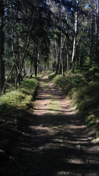
The route starts at car park Kandlbach, towarts the little town of Falkenstein. Alternatively, you can start the tour there. However, the parking situation is more difficult in Falkenstein. Cross the big road and follow the way into the forest.
Idyllic Way Along the Pfahl
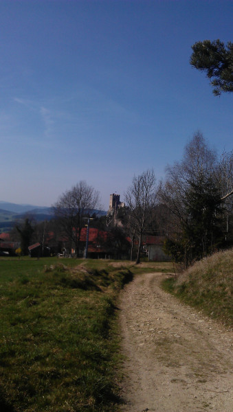
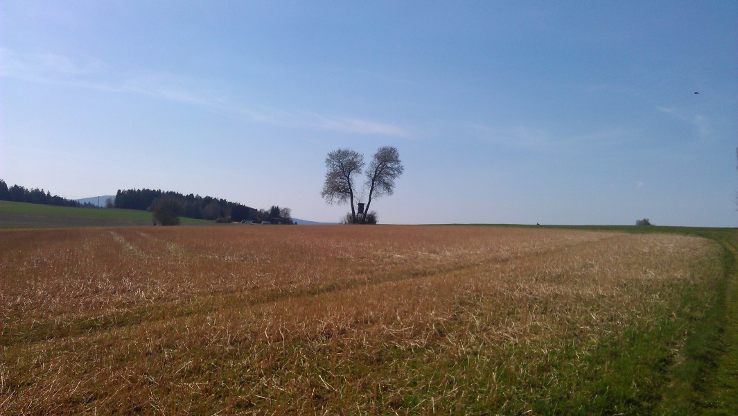
To get to the ruins, follow the red 5. The path leads you through a bit of forest, and then along the Pfahl, a quartz band that runs through the landscape like a wall. With the Pfahl on the right, the left-hand side features a beautiful view over the fields of the Bavarian Forest. You can see the castle ruins from afar, sitting above the town of Weißenstein. Just before the entrance to the town, you pass the grave of Siegfried von Vegesack, a writer who owned the castle until 1974.
Glass Forest
Before you get to the castle, you walk through the glass forest. You can marvel at artfully designed trees made of glass. The colourful glass shines in the sun, creating a fairytale atmosphere. The glass forest is supposed to commemorate the glass tradition of the region.
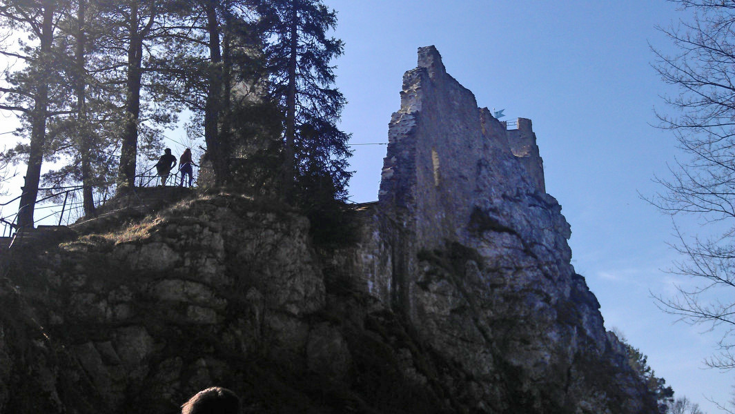
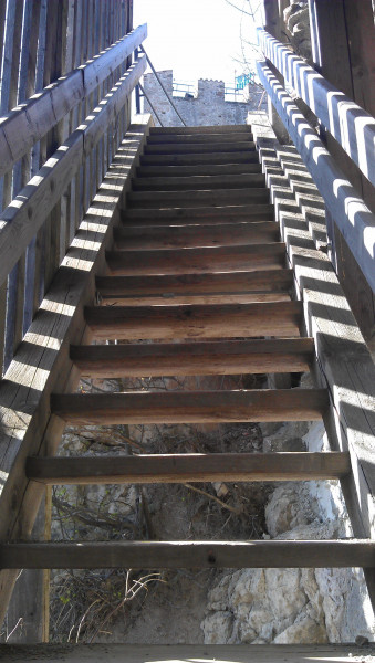
The Castle
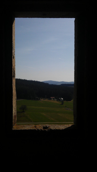
The castle sits on the Pfahl at around 750m/2,461ft. The white rock it stands on is responsible for the name Weißenstein (literally 'white rock'). The castle was built by the Count of Bogen around 1100. Over the centuries, Weißenstein changed owner several times, and was destroyed by the Swedes during the Thirty Years' War. Merely the public rooms have been restored. The square keep is still preserved, and can be visited.
In 1918, writer Siegfried von Vegesack bought the castle, and lived in it until 1974. As keeping the castle demanded a lot of money, Vegesack referred to it as 'Das fressende Haus' - the devouring house.
Way Back on the Other Side of Pfahl
To go back, pass the castle pub Weißenstein on its left and walk towards the fire department, which you also pass left. Keep right at the fork. Just after that, the path divides again. If you keep right, you get to an old quartz slate quarry. Our trail, however, continues on the left. Follow the red dot on the trees until you get to the track with the blue 2. Follow these signs until you get back to Falkenstein or on to Kandlbach.
Where to eat
Burggasthof Weißenstein, the castle pub, is located right by the castle. You can look over the glass forest and the castle from its sun deck. Furthermore, the car park underneath the castle features a small kiosk, where you can get snacks and drinks.
Interesting facts
- You're traveling a distance of 6 km on this easy trail. The hike is therefore not too long. Average length of all hikes in Bavaria is 49 km.
- The hike is one of the family friendly trails in the region. The hike is also perfect if the kid’s wanna bring their dog on the trip. (See all dog friendly hikes in Bavaria.)
- Hiking boots are not required, but the hike might be more enjoyable with sturdy footwear (especially in wet conditions). If you get hungry along the way, there are places to rest and get food. Nevertheless it’s recommended to also have enough water and food in your backpack when hiking or biking.
Highlights of the tour
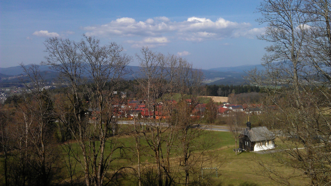
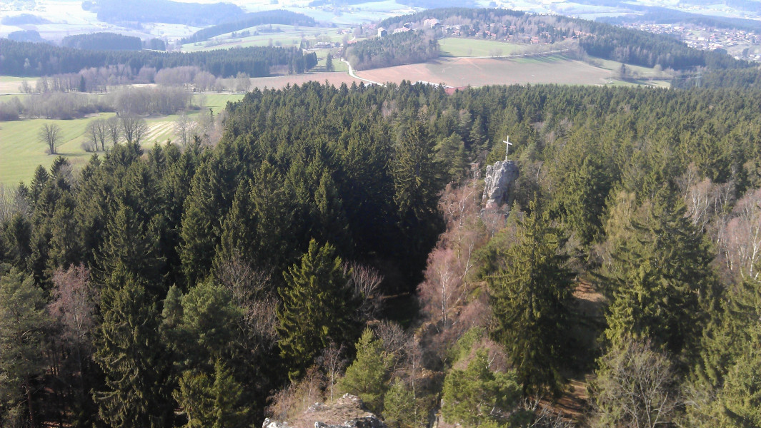
Besides the castle itself, and the glass forest, Pfahl is the highlight of this tour. The quartz band goes from the Oberpfalz region all the way into the Austrial Mühl area just before Linz. For most parts, Pfahl is hidden under the soil. The ruins of Weißenstein castle are situated on the highest point of the Pfahl. As the Pfahl rocks are harder than the adjacent rocks, you get the wall-like shape.
Getting here
The easiest way to get here is on motorway A3. Exit at Hengersberg. Now follow B533 towards Osterhofen/Niederarlteich/Grafenau, and turn left onto REG12 towards Kirchberg. After a short time, you get to Kandlbach. A small car park between the village chapel and the pub is where this tour starts.