

Route description
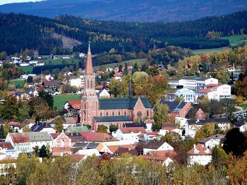
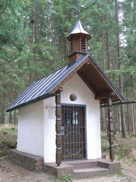
This panoramic trail leads around the small town of Zwiesel, and features numerous cultural highlights. Besides the quiet field and forest ways with beautiful views of a mountain panorama, there are also chapels and other sights along the way. The hike can be divided into several stages, which makes it suitable for families with children as well.
- Stage 1: From Zwiesen via Rotwaldsiedlung towrads Lindberg
- Stage 2: Via Old Rotkotsiedlung to Glass Park Theresienthal
- Stage 3: Klautzenbach - Kaisersteig car park - Rabenstein
- Stage: From Innenried via Zwieselberg and Griesbach back to the starting point
Interesting facts
- With an overall length of 28 km the hike is among the 10 longest hikes in Bavaria available on TouriSpo.
- This moderate hike is perfect for the whole family.
- Sturdy hiking boots are recommended on this track. If you get hungry along the way, there are places to rest and get food. Nevertheless it’s recommended to also have enough water and food in your backpack when hiking or biking.
Getting here
By car:
Coming from Passau, exit motorway A3 towards Hengersberg. On B533, later St2135, drive to Regen, where you follow B11 towards Zwiesel. Exit towards Zwiesel-Süd/Bodenmais/Bärnzell and follow Regenerstraße, which will get you to the town square. You can park for free at Stadtplatz car park.
Public transportation:
Waldbahn trains get you to Zwiesel from Plattling, Deggendorf, Regen, Bayerisch Eisenstein or Bodenmais every hour. The train station is only a 15 minutes' walk away from the starting point of your trail. Alternatively, take the city bus to Stadtplatz Sparkasse/ Stadtplatz Brunnen.