Route description
From the Brandnerbach up the Alps
Hike from your starting point in the village Oberried on the trail marked with number 21 in the direction of the Straßberg castle. Unless you want to take a tour around the castle or give it a closer look, walk past the castle and take a sharp right with the course of the trail. Meanwhile, you will get into forested areas and to trail number 6A that will lead your way slowly but steadily up the mountain. Continue hiking by the hillside of the Brandnerbach stream, which you will cross twice. Furthermore, take a left turn up to the Prantner Alm. This will get you to the mountain pasture at 1777 m, where it is nice to take a rest and eat something.
Back to Oberried
Afterwards, hike over the Riedberg back to the valley. Shortly before reaching the Plunhoferbach stream which is also called Unterriederbach, turn right towards the Wipptal valley. Hike further in the direction of Larch from here and you will reach Oberried once again, the starting point of the hike.
Where to eat
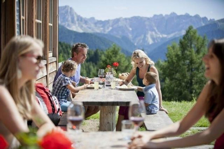
The only considerable place to get something to eat in the course of the hike is the Pranter Alm at 1777 m.
Interesting facts
- You're traveling a distance of 8 km on this moderate trail. The hike is therefore not too long. The average length of all hikes in South Tyrol is 12 km.
- You're facing an uphill climb of 682 vertical meters on this hike. The highest point of the track is 1,787 m above sea level.
- Make sure to bring sturdy footwear on this track. Hiking boots are highly recommended. There are places to buy beverages and food along the track. However it’s always recommended to bring enough water and food along with you.
Highlights of the tour
This hike is ideal for a day trip with an approximate duration of three hours. Moreover, the hike isn't overly demanding so that you don't have to overstrain yourself in any part of the way.
Getting here
By car
From Brixen
Leave the city with the Via Brennero in the direction of the district Vahrn to get to the SS 12. This will get you through an industrial park before switching onto the Brennerautobahn (A22) which you follow for the next 21 kilometers before taking the exit Sadobre in the direction of Sterzing. Drive through Sterzing to once again reach the SS12 which will directly lead your way to Gossensaß and finally Oberried.
From Bolzano
Leave Bolzano with the SS12 and drive onto the Brennerautobahn (A22) which you follow for the next 60 kilometers before taking the exit Sadobre in the direction of Sterzing. Drive through Sterzing to once again reach the SS12 which will directly lead your way to Gossensaß and finally Oberried.
From Innsbruck
Take the Inntalautobahn (A12) to head away from Innsbruck and drive onto the Brennerautobahn (A13). Follow the A13 for many kilometers until taking the exit in the direction of the SS12. Continue on the SS12 until you reach Gossensaß and finally Oberried.
With public transportation
There is a train operating regularly from Bolzano to Bologna Centrale that will get you to the stop “Colle Isarco” within an hour. Get out of the train here to get to Gossensaß and Oberried within minutes.