Route description
Start in Obertelfes
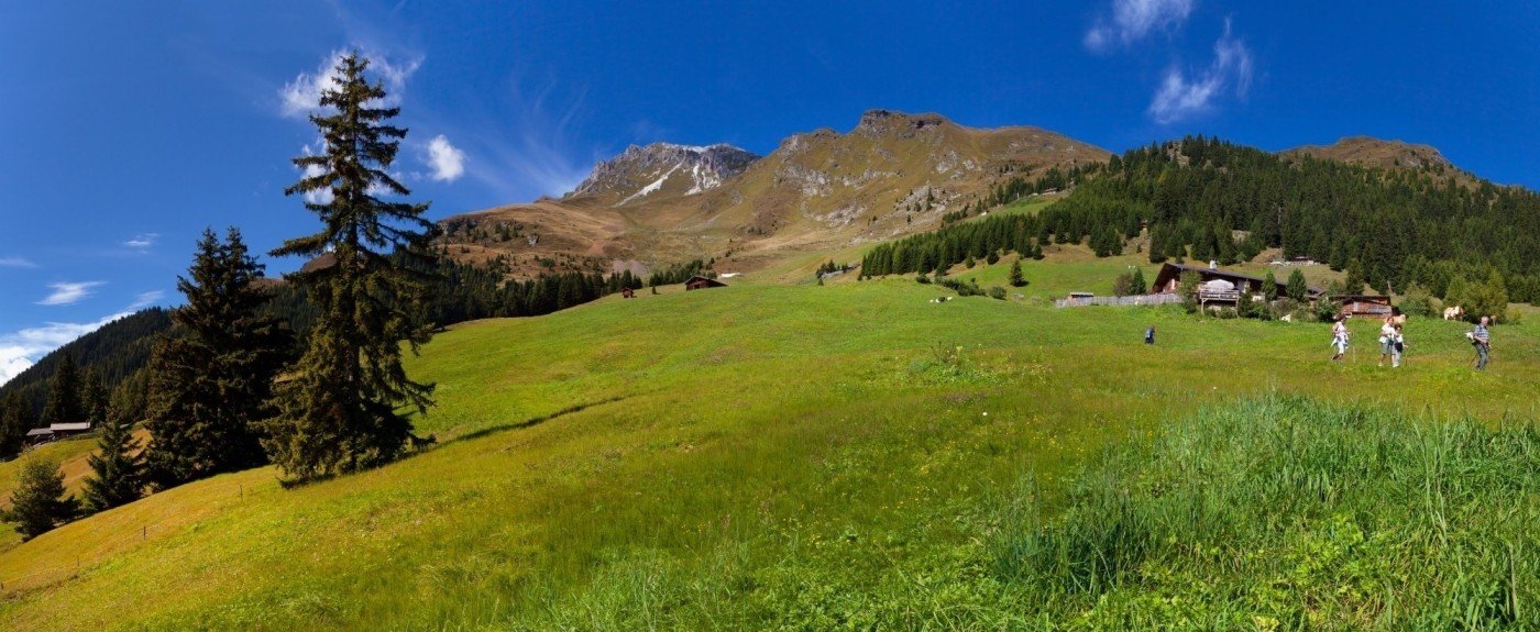
The starting point of the hike marks the clubhouse in Obertelfes. Take the paved way out of the village to get to the circular trail “Telfer Rundweg” marked with trail-number 5. On it, hike steadily up the mountain whereas you will get further and further into forested areas near the toboggan run “Rodelbahn Telfes”. Make sure to leave the Telfer Rundweg for the right trail when the path branches off into two directions here in order to get to the junction with the trail marked 6A. Take a sharp right at the junction before hiking up to the left side in the direction of the Freund Alm which you will reach on 5660 ft (1725 m).
Hiking on circular trails
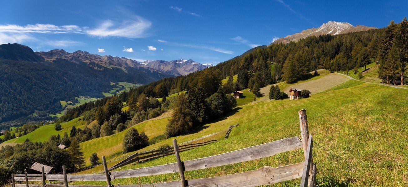
After a possible break on the managed Alp you can focus all your energy on the next part of the hike. The path will bring you up over 6200 ft (1900 m) in elevation past the tree line. On the highest point of the entire trip you will find the Ochsenalm Alp, where you can take a rest directly after an exhausting way up. Afterwards, the paths will lead your way back down the mountain by the Kuhbergalm to the forested areas. There is another junction near the woods where you take the trail marked with 5B. The roundly trip will then bring you back to the notorious path which you follow back to the village Obertelfes.
Where to eat
You will find numerous possibilities to get something to eat during this hike. There are multiple Alps on the way such as the Freund Alm or later on the Ochsenalm. If you want to get the exhausting parts of the hike done with before your first meal you may rest in the Kuhbergalm near the end of the tour.
Interesting facts
- You're traveling a distance of 10 km on this moderate trail. The hike is therefore not too long. The average length of all hikes in South Tyrol is 12 km.
- You're facing an uphill climb of 667 vertical meters on this hike. The high point of the hike is located at an elevation of 1,917 m.
- This moderate hike is perfect for the whole family.
- Sturdy hiking boots are recommended on this track. There are places to buy beverages and food along the track. However it’s always recommended to bring enough water and food along with you.
Highlights of the tour
One of the greatest things about this hike is its length. With a duration of approximately 6 miles (10 km) this hike is ideal for a day trip and feels just right in its difficulty as well. The tour is also marked as a family friendly hike which is fantastic to do a trip to discover one bit of nature with the kids, with the entire family.
Getting here
By car
From Innsbruck
Firstly, take the Inntalautobahn (A12) for a short while before switching onto the Brennerautobahn (A13) which you take for the next 21.5 miles (34.5 km). Then take the exit in the direction of Sterzing, whereas you continue on the SS44. Thus you will pass the villages Thuins and get further along to Obertelfels the starting point of your hike.
From Brixen
Leave Brixen with the Brennerautobahn (A22) and take the exit Sadobre in the direction of Sterzing. Take the third exit in the up and coming roundabout to get to the SS44 which you will leave on the following roundabout towards Thuins. The country road will lead your way to Obertelfes from there.
From Bruneck
Use the Via Brunico to get onto the SS49 which you follow for the next 16 miles (26 km). Afterwards, switch onto the Brennerautobahn (A22) and take the exit Sadobre in the direction of Sterzing. Then continue driving on the SS44 whereon you will pass the village Thuins and get further on to Obertelfes.
Using public transportation
In addition, you can take the train to Sterzing and get in one of the buses to Telfes from there. This will get you to the starting point of the hike pretty quickly as well.