Route description
From Thurnerwirtshaus Past the Ski Lift
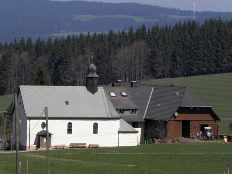
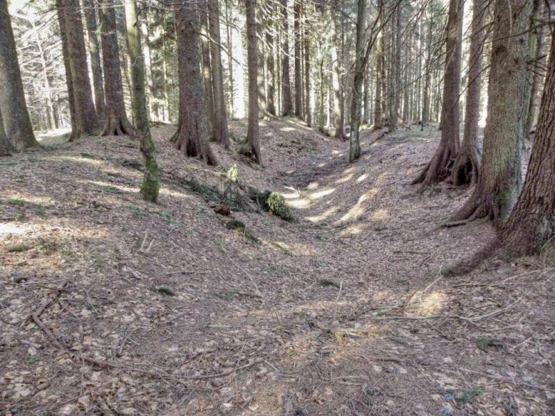
You start your hike at the signpost 'Thurner' near the bus station at the pub Thurnerwirtshaus. Start following the yellow rhombus signs. When you reach the fort 'süsses Häusle', follow the red rhombus, which leads you for the rest of the way. Enter the forest to the right, pass the ski lift, and you will get to the signpost 'Doldenbühl-Schanze'.
From Doldenbühl-Schanze to Fahrenberger-Höhe
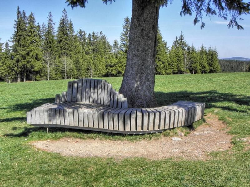
The ski jump, which gives the area its name, is located right in the forest at Doldenbühl. From here, walk around Doldenbühl and enjoy the view. After a while, you come across the signpost 'Wildmoos'. From here, follow the path to Fahrenberger-Höhe, where a nice bench invites you to take a break and enjoy the view.
Along Fahrenhalde to Wanderheim Berghäusle
Keep hiking along Fahrenhalde until you get to 'Beim Eckershäusle'. After a short way, you get to the highest point of the hike, and at the fork 'Holzwaldweg' you turn towards Titisee. At the 'Fürsatzhöhe' junction, you first pass a barbecue area and a hut, before getting to Wanderheim Berghäusle.
Out of the Forest to Titisee
Now you leave the forest, and follow an asphalted road to Gehöfte Oberaltenweg, from where the path descends past the golf court to a bridge over Altenwegbächle. Before the bridge, turn left onto a path upstream. Shortly after, you are back on an asphalted road, and walk through the underpass beneath B31.Stay left to get to the Titisee graveyard. Afterwards, turn left and then right, which gets you to Bärenhofweg. Now continue straight, pass Hotel Rauchfang, and cross Neustädter Straße. Once you have passed under the train tracks you get to 'Titisee Bruggerwald'
Through Titisee to the Destination
Continue on Alte Poststraße to the junction where you see Café Becker and Sparkasse. Walk past the tourist information, which gets you to the town centre. From here, you can walk to the train station via See- and Parkstraße. This hike ends at the railway station.
Interesting facts
- You're traveling a distance of 14 km on this easy trail. The average length of all hikes in Baden-Württemberg is 49 km.
- Elevated between 854 m and 1,192 m, the hike is among the 10 highest elevated hikes in Baden-Württemberg. You're facing an uphill climb of 307 vertical meters on this hike.
- This easy hike is perfect for the whole family.
- Sturdy hiking boots are recommended on this track. There are places to buy beverages and food along the track. However it’s always recommended to bring enough water and food along with you.
Highlights of the tour
This tour's highlight is the view over the surrounding mountain-scape.
Equipment
Sturdy shoes and weather proof clothing are recommended.
Getting here
By car:
The best way to go is on B31, which becomes B500 towards Triberg at Hinterzarten. Drive to Breitenau, which is only 8 kilometres from Thurner. A large hiking car park is located just behind Thurnerwirtshaus.
Public transportation:
The easiest way on public transport is to get at train from Titisee to Hinterzarten. From here, SBG bus line 7216 goes to Thurner Gasthaus, St. Märgen, which is where you start the hike.