Hike Zweitaelersteig - Stage 2: Kandel - Simonswald in the Black Forest: Position on map

Hike Zweitaelersteig - Stage 2: Kandel - Simonswald

Waldkirch, Gütenbach

Zweitaelersteig - Stage 2: Kandel - Simonswald

Elevation

Min: 354 m
Max: 1,202 m
Uphill: 679 m
Downhill: 1,526 m
  • Upload GPS data
About the author
last update on 18 Jun 2019
Rate the Hike
0
(0)
Travel Deals & Tips
Advertisement
Advertisement
Advertisement
Facts
Difficulty
Advanced
Distance: 25.44 km
Duration:7 h
Min: 354 m
Max: 1,202 m
Uphill: 679 m
Downhill: 1,526 m

Trail characteristics

Asphalt
Dirt road
Forest track
Hiking trail

Route description

The descent is steep and narrow, which is why a safe step is required.
© ZweiTälerLand Tourismus, Fotograf: Clemens Emmler The descent is steep and narrow, which is why a safe step is required.

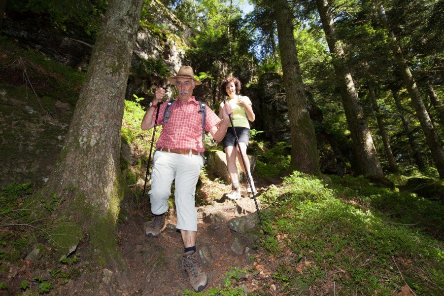
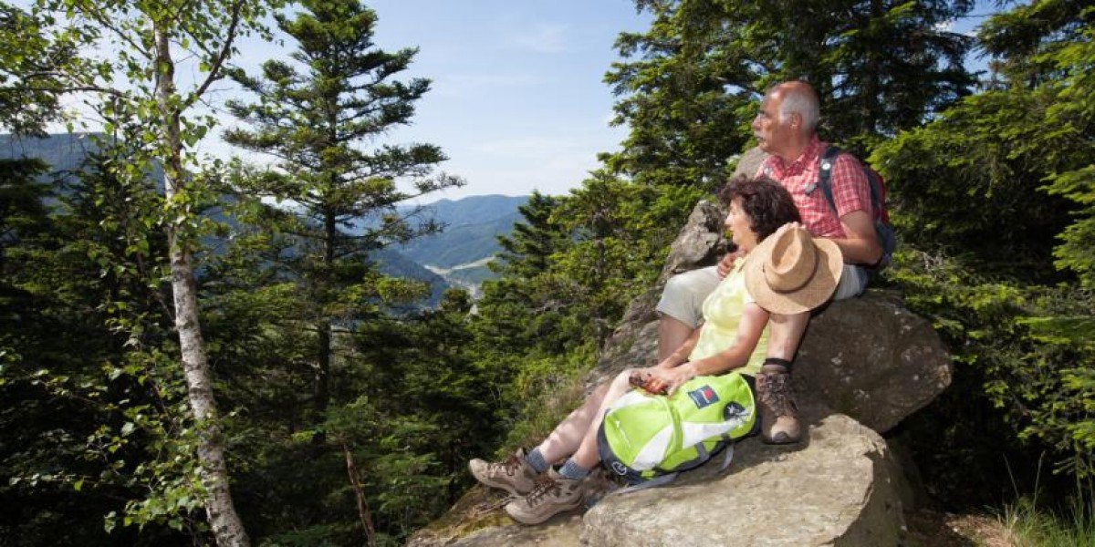
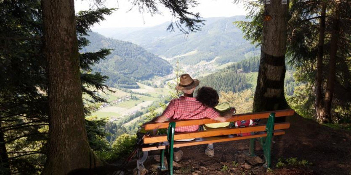
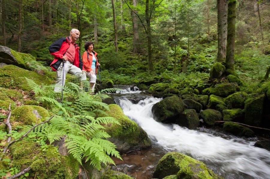
After the first stage from Waldkirch to Kandel, this second of five legs of Zweitälersteig trail goes from Kandel peak to Simonswald. The seven-hour tour features steep up- and downhill sections; it leads past waterfalls, through a gorge, and along river Wilde Gutach. A safe step is required particularly for the descents.

Suitable for dogs
Sturdy shoes necessary
Overnight stay available
Eating options available

Where to eat

Give yourself a break at Hintereck-Hütte after the steep ascent.
© ZweiTälerLand Tourismus, Fotograf: Clemens Emmler Give yourself a break at Hintereck-Hütte after the steep ascent.

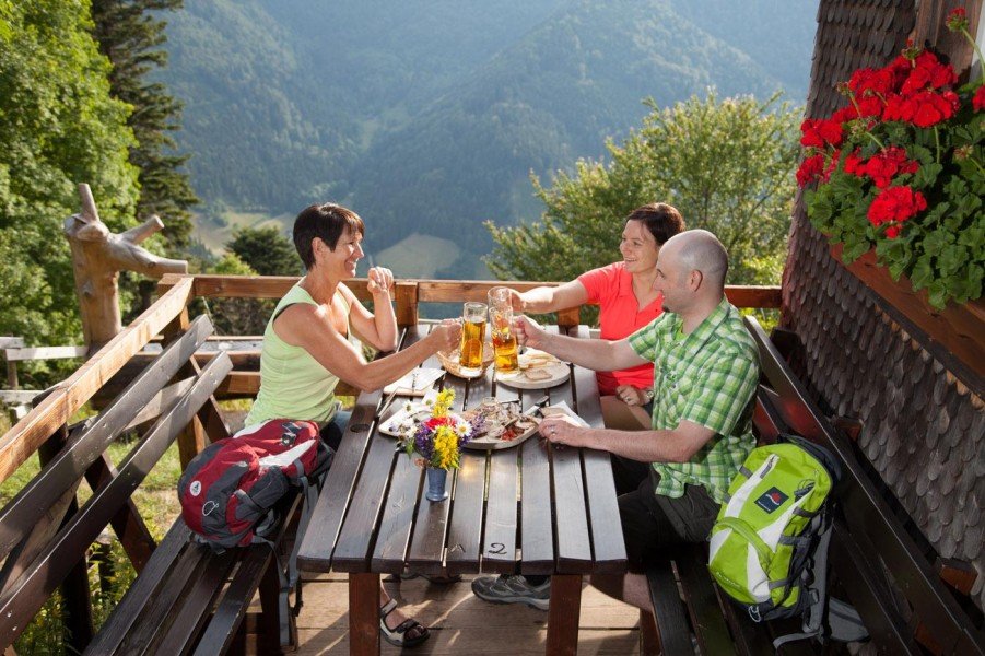
Opportunities to get something to eat can be found at Gummenhütte Fensterlwirt (turn right at the beginning of your hike), Bergvesperstube Hintereck, Gasthaus Rebstock in Obersimonwald, or Hotel Gasthof Krone-Post at the end of the hike.

Interesting facts

Read more
  • With an overall length of 25 km the hike is among the 5 longest hikes in Baden-Württemberg available on TouriSpo.
  • Elevated between 354 m and 1,202 m, the hike is among the 3 highest elevated hikes in Baden-Württemberg. You're facing an uphill climb of 679 vertical meters on this hike. This makes the hike one of the 10 hikes with the most ascent in Baden-Württemberg.
  • You can easily take your dog on this trail.
  • Sturdy hiking boots are recommended on this track. If you get hungry along the way, there are places to rest and get food. Nevertheless it’s recommended to also have enough water and food in your backpack when hiking or biking.

Video

Simonswald im Schwarzwald | 03:04

Highlights of the tour

Hintereck-Hütte with a view of the valley.
© ZweiTälerLand Tourismus, Fotograf: Clemens Emmler Hintereck-Hütte with a view of the valley.

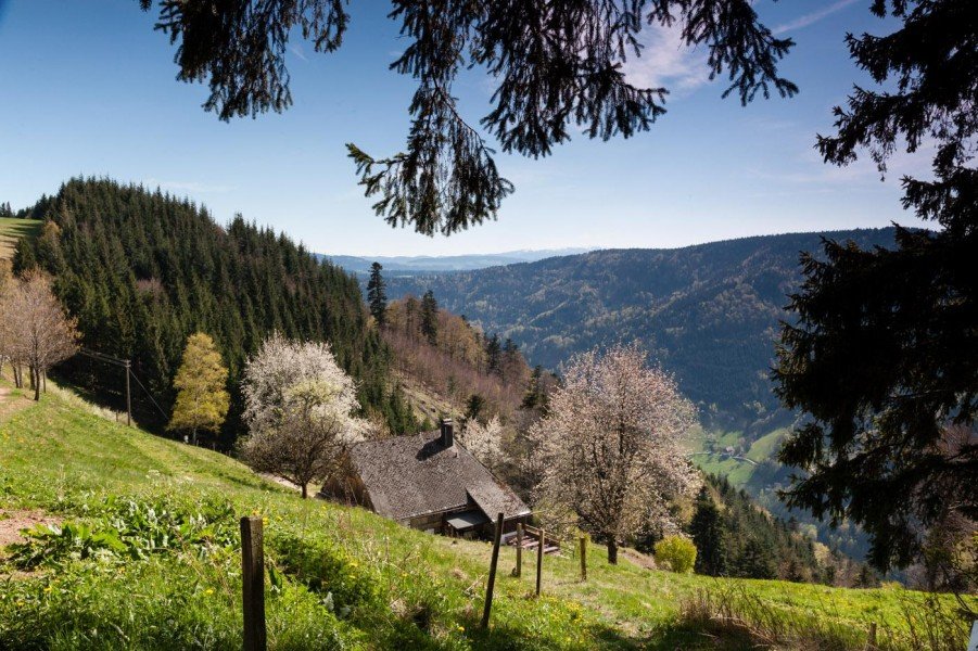
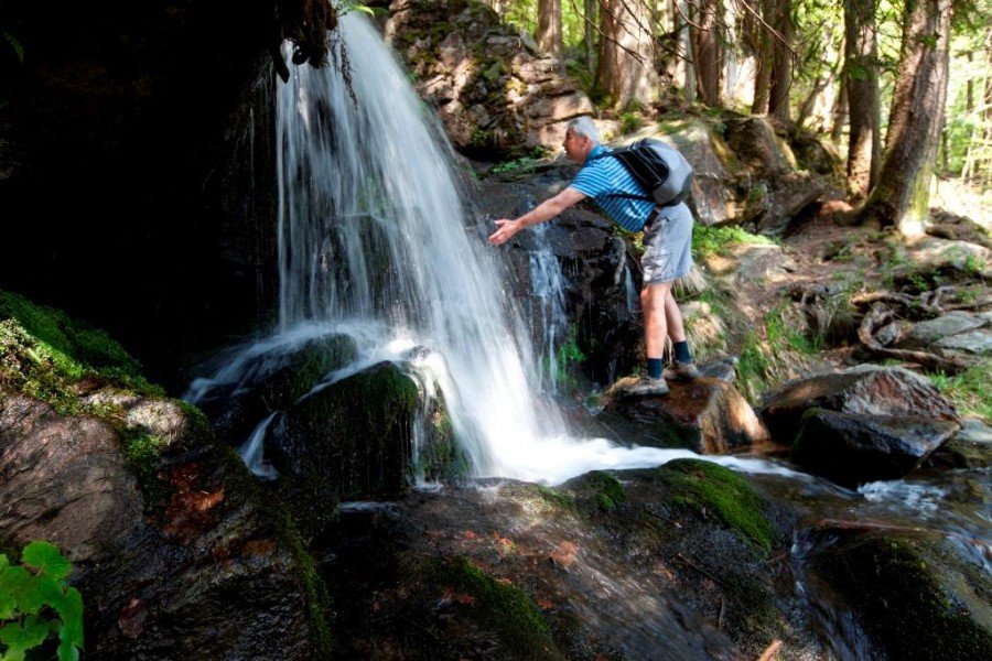
There are numerous highlights on this long hike. Zweribach waterfalls are fascinating, as is Teichbach gorge. Furthermore, the mountain views are beautiful.

Getting here

By car

From Gutach or Elzach respectively, follow b294 until you reach exit Waldkirch-Ost, Knollnau. Turn left, then left again at the second junction, onto L186, which leads you to Kandel. You can park at Kandel Passhöhe.

Public transportation

Breisgau S-Bahn trains go to Denzlingen. From there, bus line 7205 get you to Kandelpass.

Contact

ZweiTälerLand Tourismus
Im Bahnhof Bleibach
79261
Gutach im Breisgau
E-Mail
%69%6e%66%6f%40%7a%77%65%69%74%61%65%6c%65%72%6c%61%6e%64%2e%64%65
Phone+49 (0) 7685 19433
Fax+49 (0) 7685 90889-89
Travel Deals & Tips
Advertisement

Comments

Rate the Hike
No posts available yet:
  • Nobody has posted on the wall of the Hike "Zweitaelersteig - Stage 2: Kandel - Simonswald" yet
  • Be the first to comment!
Login with Google+
  • Share your personal insider tip and create new entries
  • Explore fantastic outdoor destinations when and where you want
  • Find your dream destination or discover the world on the interactive map