Hiking Tour in Val di Fleres/Pflerschtal in the Eisacktal: Position on map")

Route description
Steadily up the mountainside
The village Stein marks the starting point of this hiking trip, from where you head towards the so called “Wasserfallweg” (translated: path of the waterfall). On it, you will reach the Trommelgrabenbach stream behind the next few steps. Cross the stream and continue your hike on the path marked with the trail-number 8B, which will fork after a short while. Take the right turnoff and follow the sharp right turn of trail number 8. This will slowly but steadily lead your way up the mountain. You will notice how the hike gets a more and more winding character during its course, whilst nearly going in serpentines once past the tree line. You should definitely bring enough physical endurance and a sure foot while on this part of the hike.
Summiteer in lofty hight
After hiking up the mountainside on trail number 8 up to this point be sure to switch to trail number 7 on the next fork, where you turn left and continue hiking up to the Tribulaunhütte at 2368 meters. Nextly, you will get to the highlight of nature of this tour: The Sandessee Lake is located here with its blue spark. Since you have covered many meters at this point it will be delightful to take an extensive rest at this very spot and enjoy the view onto the valley. Gather enough energy for the next part, you will be hiking uphill to 2900 meters. Walk past the Hohen Zahl on steady ground until you take the left fork in the direction of the Weißwand. Once on the pinnacle you'll crack the 3000 meter mark and will be standing on 3017 m.
Past the lake back into the valley
Having reached the highest point of the hike walk down the trail in the opposite direction not before taking a long look at the magnificent view on top of the mountain. Naturally you take a right at the fork where you turned left before to get back down the mountainside. Orientate yourself alongside the trail marked with number 7 which will lead your way to the Magdeburger Hütte mountain pasture at 2425 m. You will pass a beautiful mountain lake once more before taking trail number 6 to reach the already known path that will get you back to Stein, the starting point of the hike.
Where to eat
At the Tribunalhütte mountain pasture you can not only enjoy the traditional cuisine from Tyrol, but also stay overnight in a wonderful cottage atmosphere. The cottage offers room for a total amount of 32 people, which means that larger groups feel welcome here as well. A similar possibility to stay over night is also available at the Magdeburger Hütte from the end of June up until the end of September, so there is absolutely no need to starve during this exceptional hike.
Interesting facts
- With an overall length of 17 km the hike is among the 15 longest hikes in Italy available on TouriSpo.
- Elevated between 1,379 m and 3,013 m, the hike is among the 3 highest elevated hikes in Italy. You're facing an uphill climb of 1754 vertical meters on this hike. This makes the hike one of the 5 hikes with the most ascent in Italy.
- You shouldn’t forget to bring your hiking boots. There are some sections on the trail where sturdy footwear is required. If you get hungry along the way, there are places to rest and get food. Nevertheless it’s recommended to also have enough water and food in your backpack when hiking or biking.
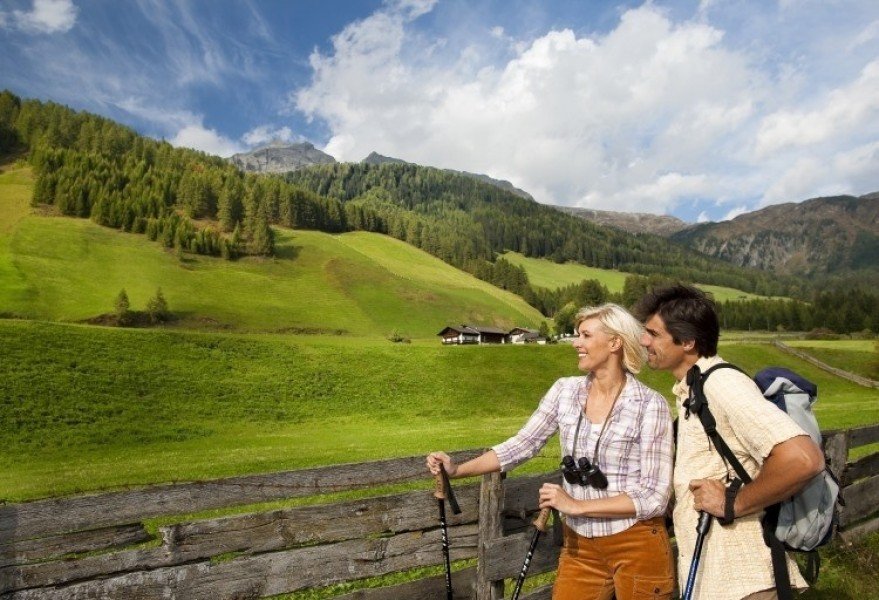
Highlights of the tour
The very special highlights of the tour mark the mountain lakes which you will pass while on this hike. Especially the Sandessee offers you a great panorama view: This lake isn't just located at the lofty height of 2370 m, but is also surrounded by impressive rock complexes such as the Pferscher Tribulaun and is one of the few mountain lakes with an island in the middle. The slate blocks underneath the lake created an island that guarantees the unique panorama of the lake together with the mountain pastures in the background.
Another true highlight marks the Weißwand pinnacle itself, where you will have reached the highest point of the tour above 3000 meters and be able to enjoy a sheer breathtaking view on the surrounding valleys that have characterized South Tyrol for years. The area around Pfersch has numerous high level paths and trails to offer, all guaranteeing a great outlook on the landscape. Even though the hike is with an approximate length of about seven hours a pretty long one, you will find many possibilities for an extensive rest amongst panorama views.
Getting here
By car
From Brixen
Leave Brixen with the Via Brennero in the direction of the district Vahrn to get to the SS12. Follow the SS12 through the industrial area onto the Brennerautobahn (A22). Then take the exit Sadobre in the direction of Sterzing. Whilst arriving in Strezing, drive through the city center and once again switch on the SS12 until you can turn left in Gossensaß on the Pflerscherstraße. Follow the country road to reach the village Stein via St. Anton, where you will find the starting point of this hike.
From Innsbruck
Leave Innsbruck with the Inntalautobahn (A12) before switching onto the Brennerautobahn (A13) which you follow for the next 34.5 km. Next switch on the SS12 until you reach Gossensaß where you turn onto the Pflerscher Straße. Follow the country road to reach the village Stein via St. Anton, where you will find the starting point of this hike.
From Sterzing
Leave the city center with the SS12 in the direction of Gossensaß where you turn left onto the Pflerscherstraße. Follow the country road to reach the village Stein via St. Anton, where you will find the starting point of this hike.
There is a parking area available by the starting point of the hike at the parking lot “zur Hölle”.