Route description
The E5 long-distance trail across the Alps leads from Oberstdorf to Meran. This one is the first of six stages from the Oberstdorf train station in Bavaria to the Kemptner Hut, which is located at an altitude of over 1,800 meters. The second stage leads from the Kemptner Hut to the Memminger Hut.
Oberstdorf - Spielmannsau
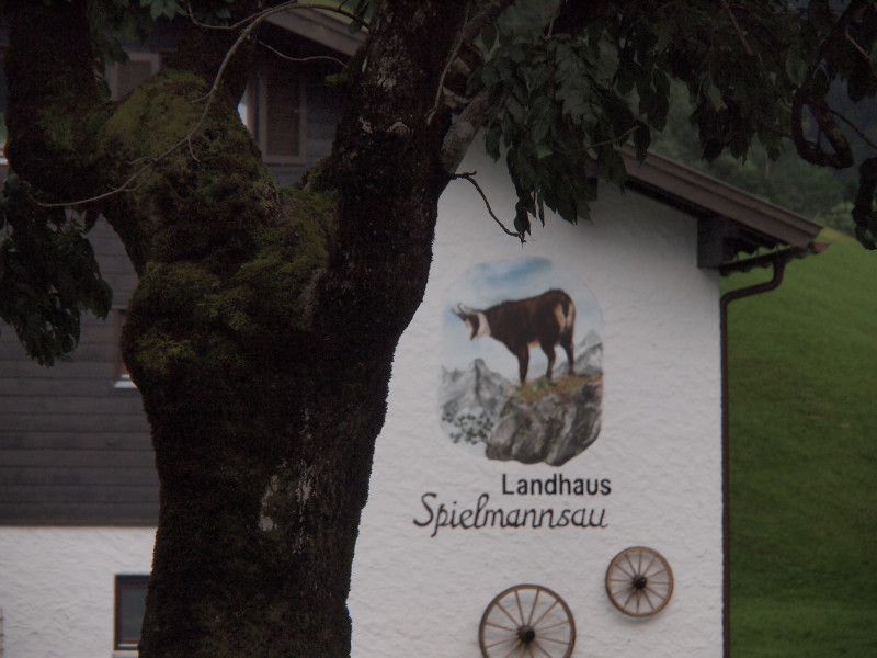
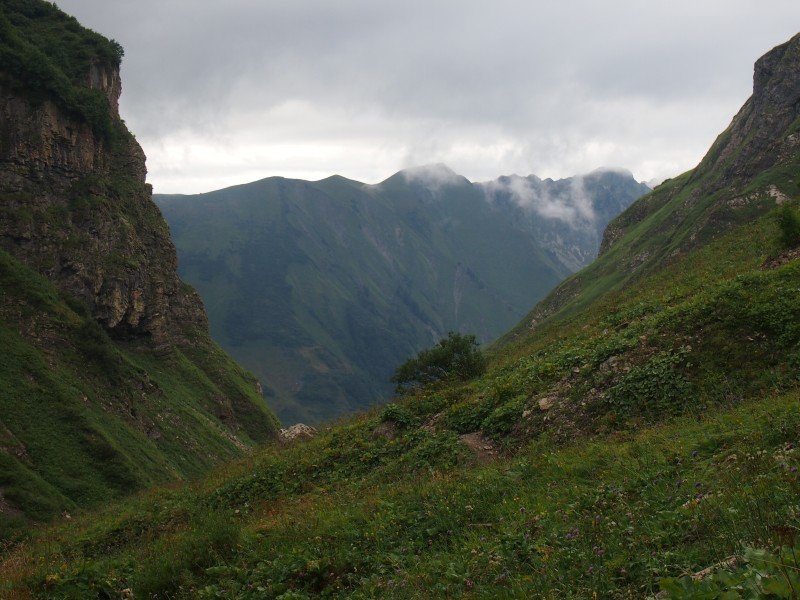
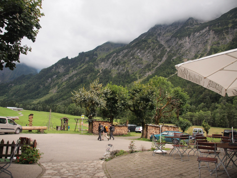
Starting at the train station in Oberstdorf, the way towards Spielmannsau is plane, leading through the city at first, and then along river Trettach on a well-groomed and signposted forest path. Enjoy the view of the beautiful Trettach valley with Allgäu Alps Hauptkamm and mountain Mädelegabel. After around 2 hours (10 kilometres), you get to the small village of Spielmannsau, with a few guesthouses and beergardens. Fill up your water bottle at the little fountain before you tackle the ascent to Kemptner Hütte, or enjoy a cold wheat beer.
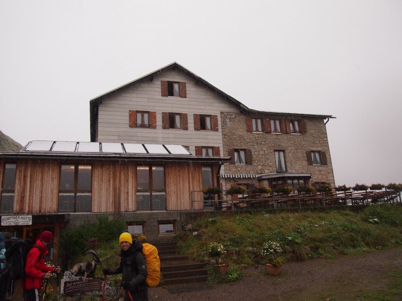
Ascent to Kemptner Hütte
The ascent to Kemptner Hütte takes approximately 3 hours, and leads right through the forest, continuously ascending. Not too steep, the path is perfect as a warm up for the following days, in case Meran is your destination. The ascent to Kemptner Hütte is recommendable as a day tour as well.
Start right outside of Spielmannsau, where the path becomes more narrow, and you can see the cable car. Follow river Trettach, until you cross a little bridge over Sperrbach, where the main ascent takes place. Right after the steep turns, there is a little resting place where you can take a break to catch your breath or drink some water. Continue through Sperrbach ravine, known as the fiercest avalanche ravine in the Allgäu Alps, until you reach the mountain hut.
Where to eat
You can find many restaurants in Oberstdorf, Spielmannsau also features some beergardens where you can grab a bite to eat. Kemptner Hütte offers food as well as accommodation.
Interesting facts
- You're traveling a distance of 19 km on this moderate trail. The average length of all hikes in Bavaria is 49 km.
- Elevated between 770 m and 1,823 m, the hike is among the 5 highest elevated hikes in Germany. You're facing an uphill climb of 1645 vertical meters on this hike. This makes the hike one of the 10 hikes with the most ascent in Bavaria.
- Sturdy hiking boots are recommended on this track. There are places to buy beverages and food along the track. However it’s always recommended to bring enough water and food along with you.
Video
Highlights of the tour
The view from Kemptner Hütte is absolutely worth the effort it takes to ascend. Furthermore, the little pilgrimage chapel St. Loretto in Oberstdorf is worth a visit.
Variations
You can shorten the tour by taking a taxi or bus to Spielmannsau.
Equipment
Sturdy shoes are absolutely necessary. As the mountain hut is located at a high elevation, it might be a few degrees colder up there, so don't forget to bring warmer clothes. As the weather may change unexpectedly, a rain coat is also advantageous.
Getting here
From Germany (Kempten/Munich/Lindau)
You can either get to Oberstdorf by car via motorway A7 Kempten - B19 towards Oberstdorf, or simply get a train from Munich or Kempten. From Lindau am Bodensee, B308 leads straight to Oberstdorf.
From Austria
Oberstdorf can be reached via E43 northbound from Bregenz am Bodensee, and later via B308 (exit Zeisertsweiler) towards Immenstadt, then via B19 to Oberstdorf.