Hike Muottas Muragl - Segantini hut - Pontresina Grisons Switzerland in Engadin St. Moritz: Position on map

Hike Muottas Muragl - Segantini hut - Pontresina Grisons Switzerland

Muottas Muragl - Segantini hut - Pontresina...

Elevation

Min: 1,733 m
Max: 2,722 m
Uphill: 1,759 m
Downhill: 1,357 m
  • Upload GPS data
Rate the Hike
0
(0)
Travel Deals & Tips
Advertisement
Advertisement
Advertisement
Facts
Difficulty
Moderate
Distance: 10.90 km
Duration:4 h
Loop trail
Min: 1,733 m
Max: 2,722 m
Uphill: 1,759 m
Downhill: 1,357 m

Trail characteristics

Dirt road
Forest track
Hiking trail
Experts only

Interesting facts

Read more
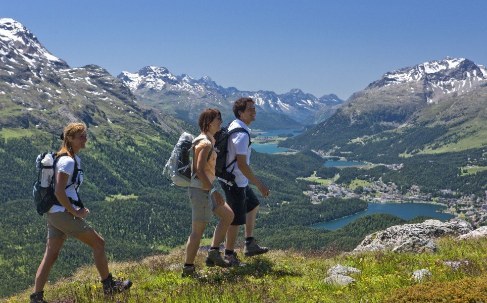
  • You're traveling a distance of 11 km on this moderate trail. The average length of all hikes in Grisons is 12 km.
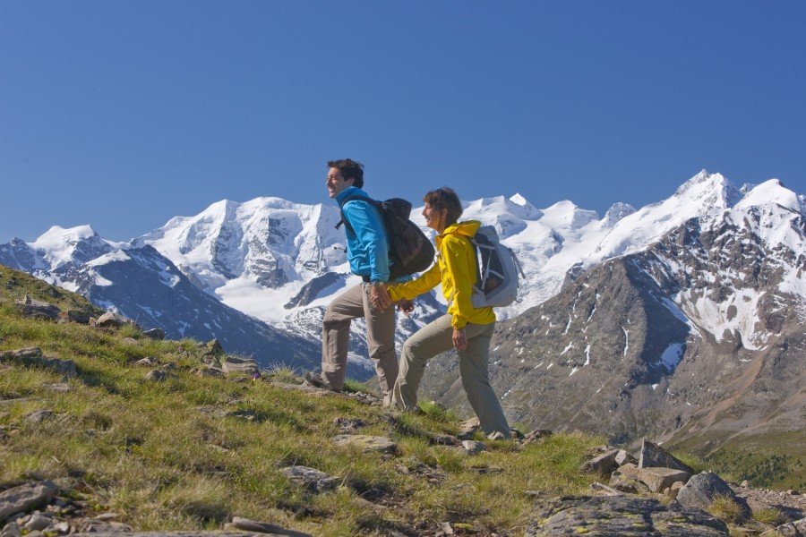
  • Elevated between 1,733 m and 2,722 m, the hike is among the 10 highest elevated hikes in Switzerland. You're facing an uphill climb of 1759 vertical meters on this hike. This makes the hike one of the 3 hikes with the most ascent in Switzerland.
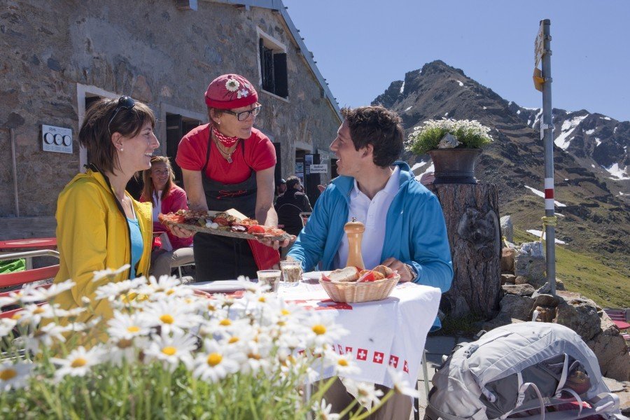
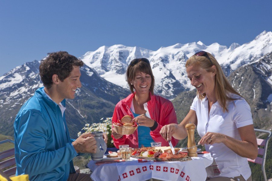
  • Sturdy hiking boots are recommended on this track. There are places to buy beverages and food along the track. However it’s always recommended to bring enough water and food along with you.

Contact

Engadin St. Moritz Tourismus
Via San Gian 30
7500
St. Moritz
E-Mail
%61%6c%6c%65%67%72%61%40%65%73%74%6d%2e%63%68
Phone+41 81 830 00 01
Fax+41 81 830 08 18
Travel Deals & Tips
Advertisement

Comments

Rate the Hike
No posts available yet:
  • Nobody has posted on the wall of the Hike "Muottas Muragl - Segantini hut - Pontresina Grisons Switzerland" yet
  • Be the first to comment!
Login with Google+
  • Share your personal insider tip and create new entries
  • Explore fantastic outdoor destinations when and where you want
  • Find your dream destination or discover the world on the interactive map