Hike Lechweg trail - Stage 3: Lechleiten - Holzgau in the Lechtal: Position on map

Hike Lechweg trail - Stage 3: Lechleiten - Holzgau

Steeg

Lechweg trail - Stage 3: Lechleiten - Holzgau

Elevation

Min: 1,088 m
Max: 1,562 m
Uphill: 347 m
Downhill: 782 m
  • Upload GPS data
Rate the Hike
1
(0)
Travel Deals & Tips
Advertisement
Advertisement
Advertisement
Facts
Difficulty
Moderate
Distance: 16.28 km
Duration:6 h
Start:Lechleiten
Finish:Holzgau
Min: 1,088 m
Max: 1,562 m
Uphill: 347 m
Downhill: 782 m

Trail characteristics

Asphalt
Dirt road
Forest track

Interesting facts

Read more
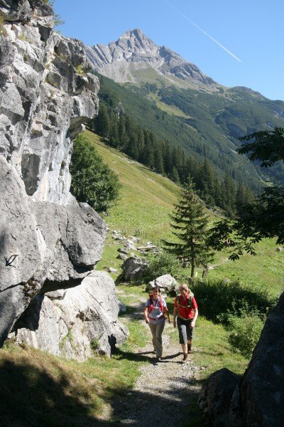
  • You're traveling a distance of 16 km on this moderate trail. Average length of all hikes in Tyrol is 15 km.
  • You're facing an uphill climb of 347 vertical meters on this hike. The highest point of the track is 1,562 m above sea level.
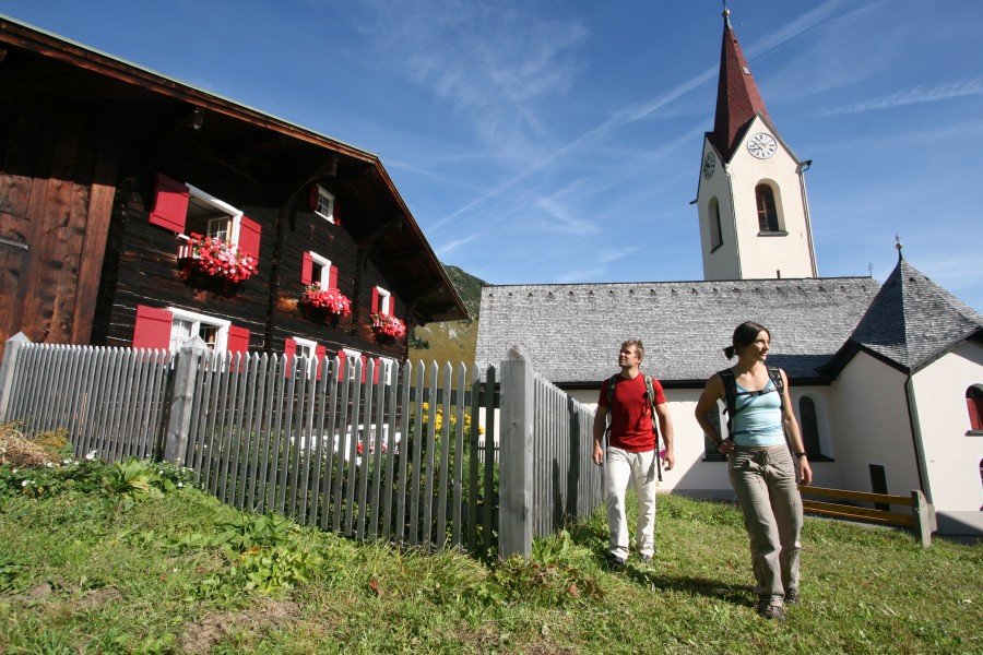
  • Don’t hesitate to take your kids along on this moderate hikes. The hike is also perfect if the kid’s wanna bring their dog on the trip. (See all dog friendly hikes in Tyrol.)
  • Make sure to bring sturdy footwear on this track. Hiking boots are highly recommended. If you get hungry along the way, there are places to rest and get food. Nevertheless it’s recommended to also have enough water and food in your backpack when hiking or biking.

Videos

Lechweg | Etappe 03 | Lechleiten -... | 01:13
BR Traumpfade - Der Lechweg (Doku)
BR Traumpfade unterweg aus dem Lechweg. Von Lech am...

Contact

Lech Zürs Tourismus GmbH
6764
Lech
E-Mail
%69%6e%66%6f%40%6c%65%63%68%77%65%67%2e%63%6f%6d
Phone+43 (0) 5583 2161-0
Fax+43 (0) 5583 3155
Travel Deals & Tips
Advertisement

Comments

Rate the Hike
No posts available yet:
  • Nobody has posted on the wall of the Hike "Lechweg trail - Stage 3: Lechleiten - Holzgau" yet
  • Be the first to comment!
Login with Google+
  • Share your personal insider tip and create new entries
  • Explore fantastic outdoor destinations when and where you want
  • Find your dream destination or discover the world on the interactive map