Route description
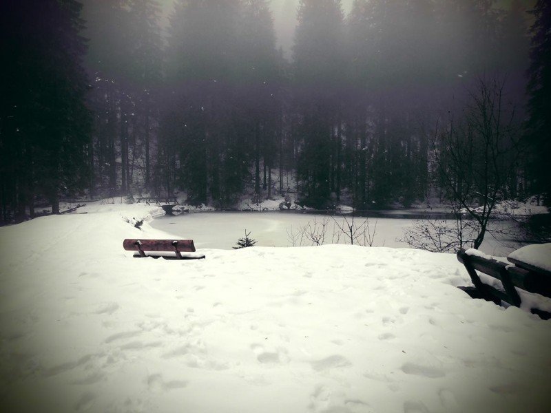
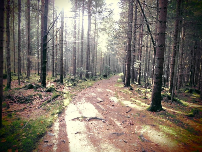
This is an extremely diverse hike around Großer Falkenstein mountain. You ascend along Höllbachfälle waterfalls, through pristine nature, and protected landscapes. Once you have made it to the summit, you are rewarded not only with a beautiful view, but also with a breat at the mountain hut, which is open even on weekends and during the winter. As there are numerous hikes around Großer Falkenstein, you can descend following another trail.
Interesting facts
- You're traveling a distance of 10 km on this moderate trail. The average length of all hikes in Bavaria is 49 km.
- The high point of the hike is located at an elevation of 1,315 m.
- In case of good weather conditions, the hike can also be done without bringing your hiking boots.
Video
Falkenstein - Haus zur Wildnis | 03:01
Equipment
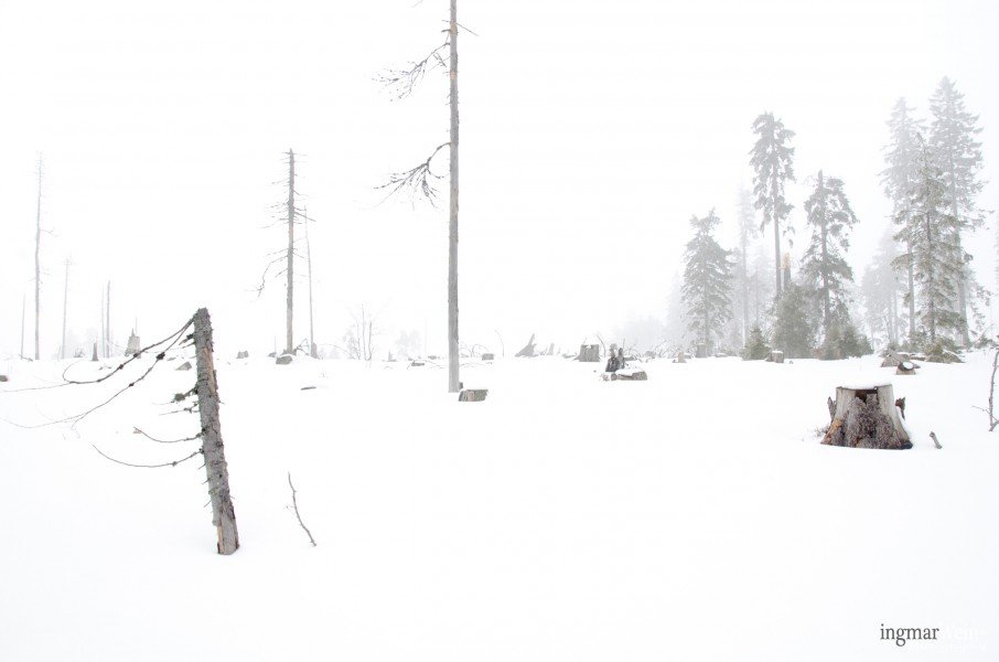
Sturdy shoes are recommended, especially in winter.
Getting here
This tour starts at car park Weiße Brücke, which you reach from Passau via Zwiesel, Lindberg, and Spiegelhütte junction.