Route description
From Zwiesel Waldhaus to the Steinbach Falls
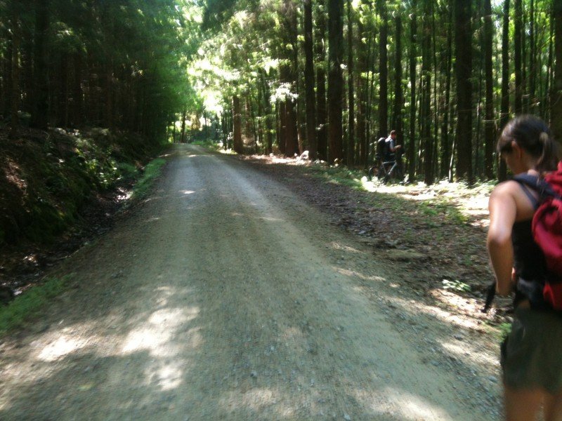
Großer Falkenstein mountain, with its steep west flank, is one of the most imposing and highest mountains of the Bavarian Forest at 1,315m/4,314ft. Park your car at Zwieseler Waldhaus, and either check one of the boards, or head straight along the path marked with a green yew tree. The path starts as a wide trail, but is steep from the beginning. The path gets more narrow, and after crossing two forest roads and a 1 hour's walk, you will get to the first highlight: the Steinbach Falls. In the spring, you can hear the rushing waters from afar. The water cascades down several metres. During the summer and in autumn, on the other hand, the waterfalls sometimes only amount to a small trickle.
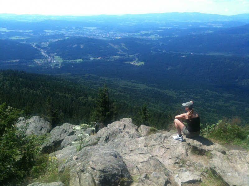
On Falkenstein Summit
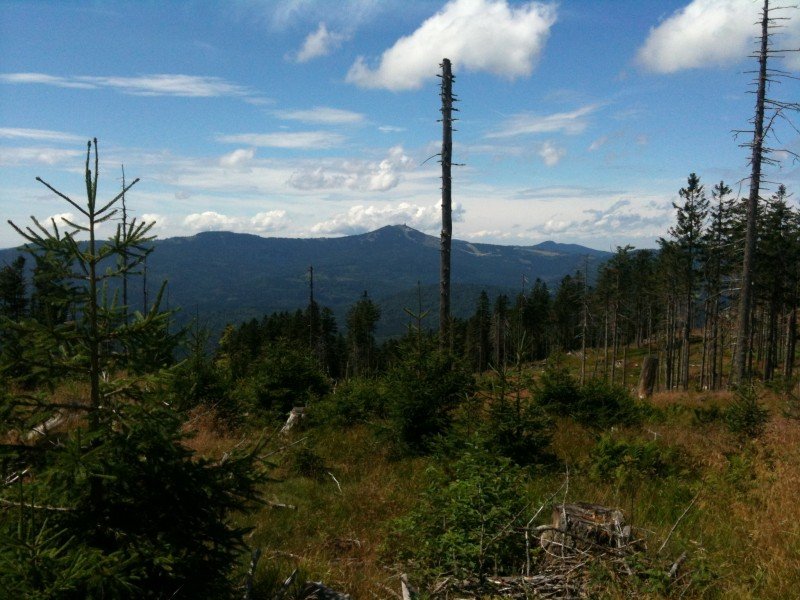
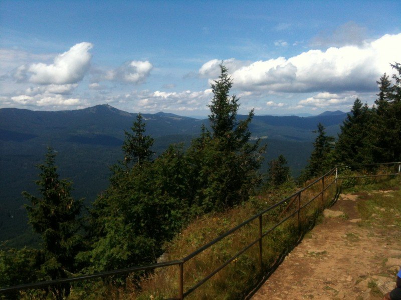
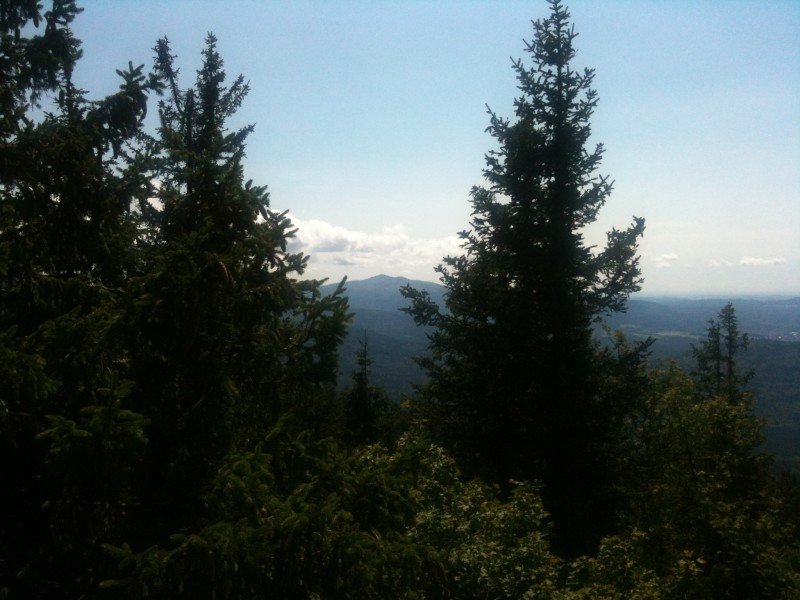
After the Steinbach Falls, the path becomes narrow, and goes up Kleiner Falkenstein (1,190m/3,904ft) in serpentines. At this part of the hike, bark beetles and windstorm Kyrill have thinned out the forest considerably, which makes for beautiful views over the southern Rachel. The last bit to the peak is relatively steep. Hence, if you have no head for heights, you should continue straight to Großer Falkenstein. On Kleiner Falkenstein, you enjoy the view on rocks in front of a steep slope. The last section to Großer Falkenstein you are back on a comfortable forest trail. The summit is marked with an iron cross. A large rock plateau invites you to stay and take a break on Großer Falkenstein. In good weather, you can see from the Danube valley in the south over the Arber massif in the west and all the way to the northern peaks on Großer Osser. A serviced mountain hut is located just beneath the summit.
Descent via Höllbachgspreng
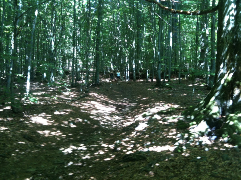
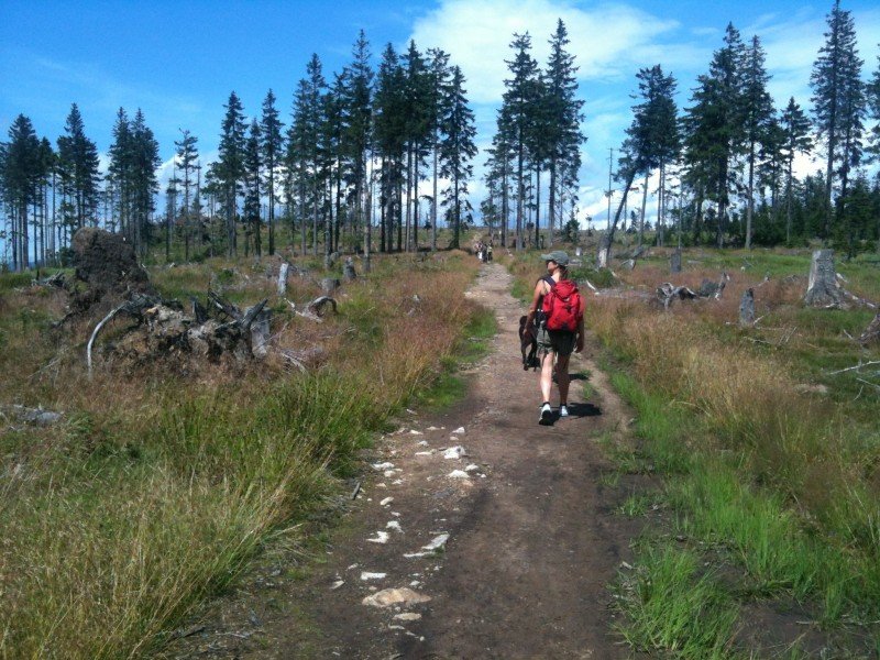
From the peak, follow the blueberry signs towards Höllbachgspreng. The term 'Gspreng' refers to a rough and rocky terrain, which is a good description of this leg of the trail. The hiking path is well built, however, and not too difficult. The hike leads you to another waterfall. Höllbachfall. The last section of the tour goes through dense leaf forests back to Zwieseler Waldhaus, where you come across a pub of the same name, which is the oldest pub in the Bavarian Forest.
Where to eat
- Falkenstein mountain hut is serviced (daily in summer, on weekends during the winter). However, you should check online to see if it is open on the day of your hike.
- At the end of the tour, try the traditional food at the oldest pub of the Bavarian Forest, Zwieseler Waldhaus.
Interesting facts
- You're traveling a distance of 13 km on this moderate trail. Average length of all hikes in Bavaria is 50 km.
- You're facing an uphill climb of 613 vertical meters on this hike. The hike takes you to an elevation of 1,314 m.
- The hike is one of the family friendly trails in the region. The hike is also perfect if the kid’s wanna bring their dog on the trip. (See all dog friendly hikes in Bavaria.)
- You shouldn’t forget to bring your hiking boots. There are some sections on the trail where sturdy footwear is required. If you get hungry along the way, there are places to rest and get food. Nevertheless it’s recommended to also have enough water and food in your backpack when hiking or biking.
Highlights of the tour
- Waterfalls at Höllbachgspreng and Steinbach Falls
- Steep rock face at Kleiner Falkenstein
- View of Großer and Kleiner Arber mountains from Großer Falkenstein
Variations
Instead of descending through Höllbachgspreng, you cann follow the long-distance way (green triangle) from the peak and over the Ruckowitzschachten, a more than 400 years old upland pasture.
Equipment
Sturdy shoes and sufficient water
Getting here
Public transportation
Trains go from Deggendorf to Bayerisch Eisenstein or Ludwigsthal. From there get a bus to Zwieseler Waldhaus.
By car
Exit motorway A3 at Deggendorf. Continue on B11 towards Regen. Follow the signs pointing to Zwiesel and continue towards Bayerisch Eisenstein. Behind Ludwigsthal, turn right towards Zwieseler Waldhaus.