

Route description
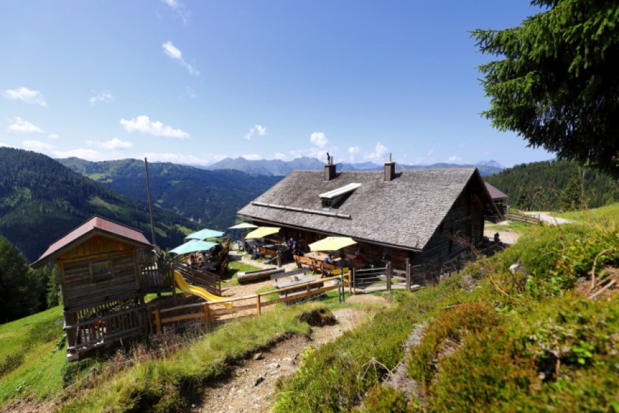
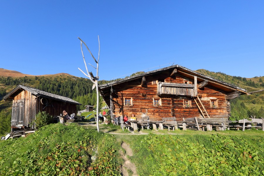
Start the hike at Ellmautal parking lot called Parkplatz Grund. First walk over the steep track Almsteig, then follow the path through forest and continue on broad meadows (Almwiesen) towards Ellmaualm. You will pass a closed alp called Großellmau- Heimalm. Finally reaching Ellmaualm a great view and a delicious snack including home made bread, butter, cheese, and bacon will be waiting for you. Kids can enjoy themselves on the playground.
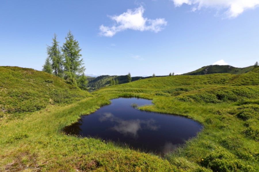
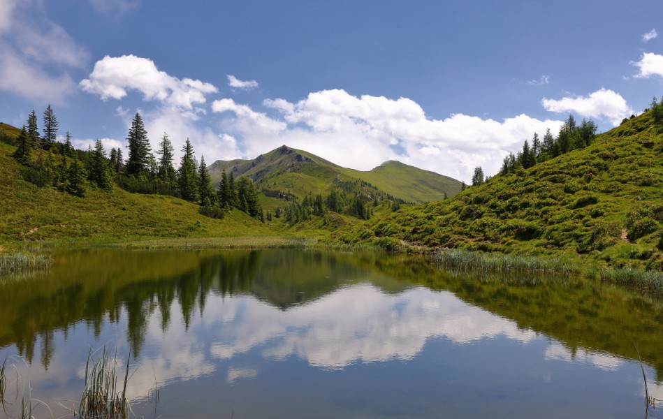
Afterwards continue alongside the path Salzburger Almenweg, pass the alp Henerbichlalm (shut down) untill you reach the lakes Trögseen. Trögseen are small mountain lakes that are especially refreshing in summer times. Then continue back to Ellmaualm and back to Grund where you started the tour.
If you want to go there by car or by taxi, there are parking spaces available in Grund. Starting there you can hike up to Großellmau- Heimalm on path number 62. On the same path you can get to Ellmaualm in approximately 1 1/2h. Continue on path Salzburger Almenweg (number 63) passed Henerbichlalm (approximately 1/2h) and eventually take path number 64 towards the lakes (Trögseen). To go back take number 64, continue on 62 back to Ellmaualm (1/2h) and finally hike down to Grund (1 1/2h).
Interesting facts
- You're traveling a distance of 10 km on this moderate trail. Average length of all hikes in Salzburg is 15 km.
- You're facing an uphill climb of 770 vertical meters on this hike. The hike takes you to an elevation of 2,168 m.
- You shouldn’t forget to bring your hiking boots. There are some sections on the trail where sturdy footwear is required. If you get hungry along the way, there are places to rest and get food. Nevertheless it’s recommended to also have enough water and food in your backpack when hiking or biking.
Equipment
Hiking boots with grip sole and a map of the trails recommended (Wanderkarte tappeiner number 311)
Getting here
By public transport
Take the bus Ellmautal 541 into Ellmautal till parking lot Parkplatz Grund.