Route description
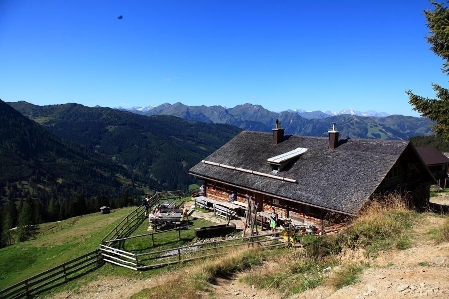
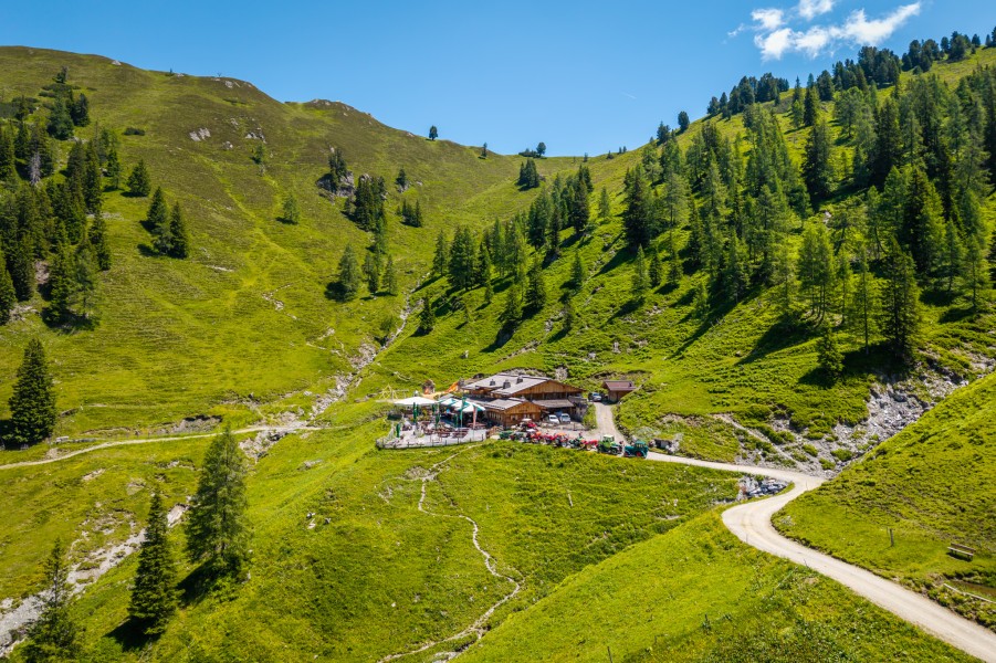
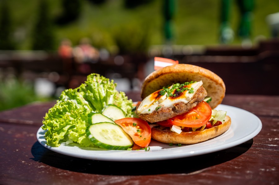
The hiking tour starts at the car park Grund in the Ellmautal valley. The tour takes you along the natural mountain pasture path, first through a forest and then passing some meadows on the Ellmaualm mountain pasture. On your way, you'll be passing the Großellmau-Heimalm, which does not serve food or beverages. Once you're up here, you'll enjoy a majestic panorama view up to the Hochkönig and expect to eat a delightful Jause, an Austrian bread time specialty. On-site, you will find a small playground for children. An ascent follows taking the hiker en route via some meadows up to the mountain range. Then you hike via the Gründegg with a panorama view on the Hohe Tauern, the Hochkönig as well as the Tennen and Hagen mountains. After having hiked along the mountain range, you continue on a descent to the Loosbühelalm (“Klausalm”). Here, various Jausen specialties will be served, based on milk products coming from the farm's very own goats and cows. And here, too, you'll find a playground for your children. You can descend from the mountains either via the forest path or taking a short cut through the forest. Both ways will take you to your starting point, the car park Grund.
Interesting facts
- You're traveling a distance of 9 km on this moderate trail. The hike is therefore not too long. Average length of all hikes in Salzburg is 15 km.
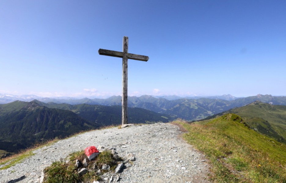
- You're facing an uphill climb of 868 vertical meters on this hike. The highest point of the track is 2,168 m above sea level.
- Make sure to bring sturdy footwear on this track. Hiking boots are highly recommended. If you get hungry along the way, there are places to rest and get food. Nevertheless it’s recommended to also have enough water and food in your backpack when hiking or biking.
Highlights of the tour
Just before arriving at the Gründegg, you have the chance to get to see some small and beautiful mountain lakes if you keep hiking in the direction of the Trög.
Equipment
It is recommended to wear some alpine hiking boots with grip soles. In addition, taking the hiking map tappeiner no. 311 along with you might come handy.