

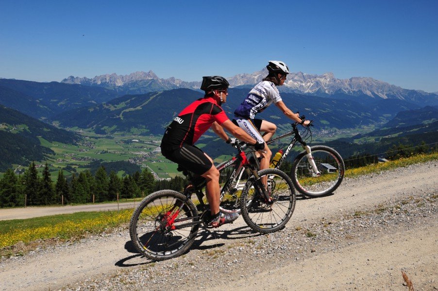

Route description
Starting the tour in the centre of Flachau, you first cycle out of the valley and then turn left towards the Grießenkar. After 1.4 km (0.9 miles), the first ascent starts followed by many curves and turns. 3.4 km (2.1 miles) further on the way, you get to a fork in the road. Take the path on the right. The tour continues uphill passing the Jandlalm. After 9 km (5.6 miles) you turn right and then at 10.2 km (6.3 miles) turn right again. Then you turn left at 12.1 km (7.5 miles). You keep cycling further downhill passing the lift station towards the valley station Rote 8er-Gondelbahn. Sticking to the right, you continue on the Hauptstra√üe, which leads back towards the starting point in Flachau.
Where to eat
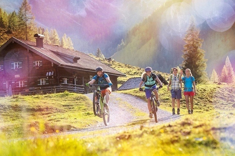
At the start and final point of the round trip you get refreshments at different huts and restaurantes. You can choose between Waldgasthof and Latschenhof as well as the Hofalm and Jandlalm.
At the Kogelalm you can make your last stop before you go back in the valley.
Interesting facts
- You're traveling a distance of 24 km on this strenuous trail. The average length of all bike Trails in Salzburg is 36 km.
- Elevated between 871 m and 1,750 m, the bike trail is among the 15 highest elevated bike Trails in Austria. You're facing an uphill climb of 985 vertical meters on this bike trail. This makes the bike trail one of the 15 bike Trails with the most ascent in Austria.
- There are places to buy beverages and food along the track. However it’s always recommended to bring enough water and food along with you.
Highlights of the tour
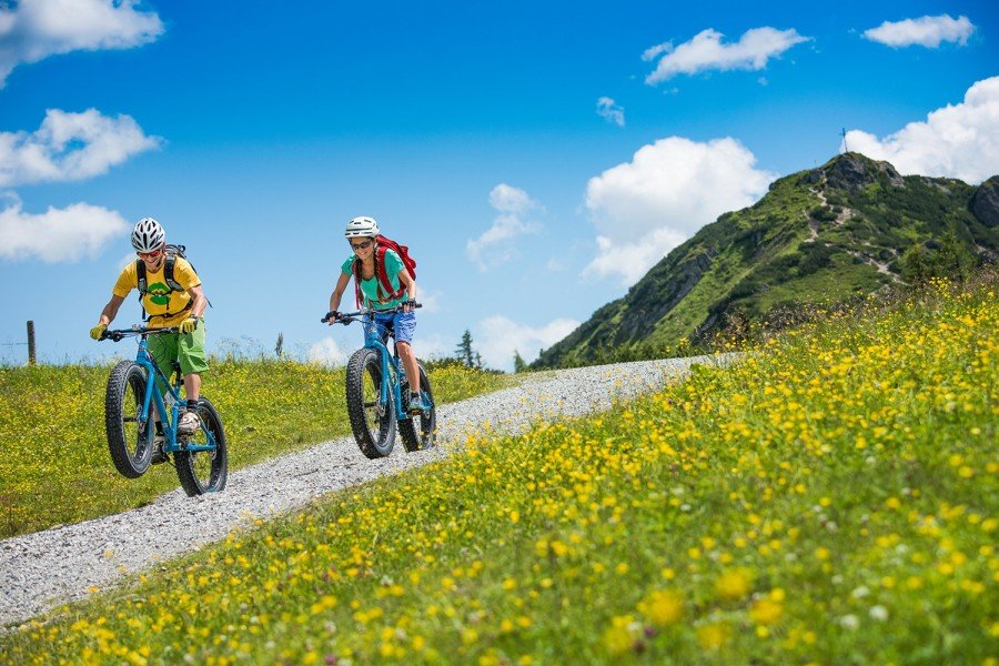
It is recommended to have a little detour on the peak of the Grießenkar, which you can reach on foot. After a great cycling tour, you will be rewarded with a stunning view on the landscape. A fantastic experience is to cycle the descent with a difference in altitude of 100 m (109 yards) from the Griesenkar to Moadörfl.
Video
Getting here
by car
You can reach Flachau easily via the A10 Tauern motorway (exit 66). The car you can leave at the parking space directly in the center of Flachau, nearby the BBF-Center.
by public transport
With the "Sportwelt-Bus" you get to the bus station "Flachau Ortsmitte". From there you can start with your biking tour. You need to inform the bus driver if you want to take your bike with the bus.