Route description
A roundtrip from Lajen
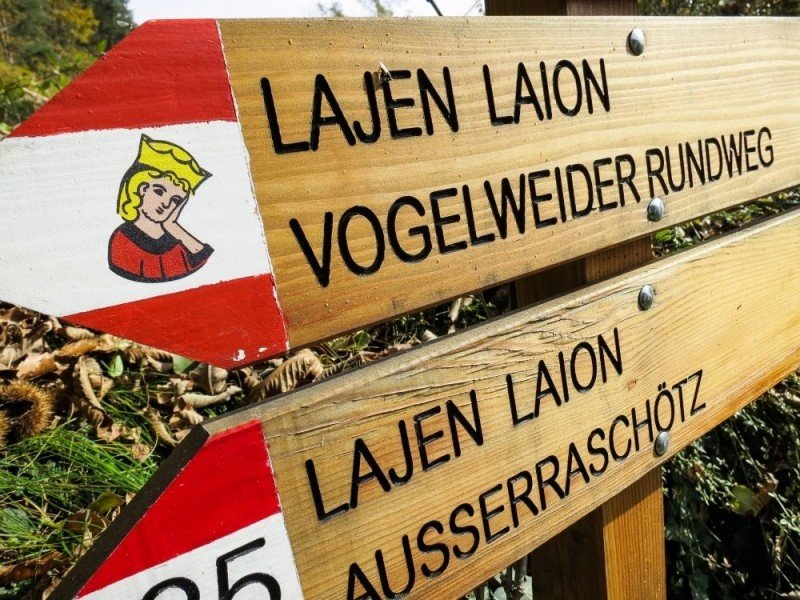
The actual starting point of the hike marks the sports area of the village Lajen, which firstly leads you to the Kasserolweg path. After only a few steps you will get to the equally named route, from which you will depart to the left at the first opportunity in order to get to the Vogelweider route marked with the number 35. Follow the path to the little village called Buchner and cross the town to get to the St. Katharina church. Next, hike on the Vogelweider Rundweg path into the woods which will lead your way up the mountain steadily uphill.
From Albion back to the start
Continue hiking up the mountain until you reach Albion where you take a right turn at the church and switch to trail number 5. The just mentioned trail number 5 is still part of the Vogelweider Rundweg, which means you can still orientate yourself towards the signs of the roundly path. Cross the Parseitsbach stream by the Pirchhof cottage and walk beside the Partseitsbach for a short bit. Next you will get to the first foothills of Lajen and back to the starting point of your hike within the village.
Where to eat
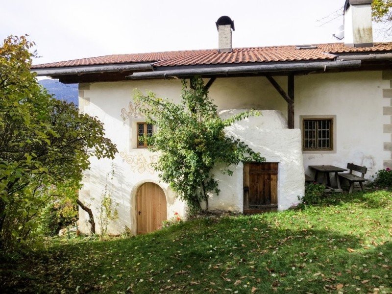
In Lajen itself you will find numerous possibilities to get something to eat before or after the hike. But no worries, you won't have to be hungry during the hike either: After a short while on the path you will reach the Hofschänke Buchnerhof which is famous for its traditional South Tyrol dishes that work in great with the unique atmosphere of the hike.
Interesting facts
- You're traveling a distance of 7 km on this moderate trail. The hike is therefore not too long. Average length of all hikes in South Tyrol is 12 km.
- You're facing an uphill climb of 171 vertical meters on this hike. The track is therefore relatively flat. The highest point of the track is 1,098 m above sea level.
- Hiking boots are not required, but the hike might be more enjoyable with sturdy footwear (especially in wet conditions). If you get hungry along the way, there are places to rest and get food. Nevertheless it’s recommended to also have enough water and food in your backpack when hiking or biking.
Highlights of the tour
Even though it is not scientifically proven, there are many sayings that the minnesinger Walther von der Vogelweide grew up in this region, namely at the Vogelweider Hof in Lajen. Meanwhile, the theme path was named after the singer and poet from the middle ages on which you will find multiple scenic highlights around the village and even information boards about the life and works of Walther von der Vogelweide. Therefore, the hike offers a perfect mixture between culture and exercise.
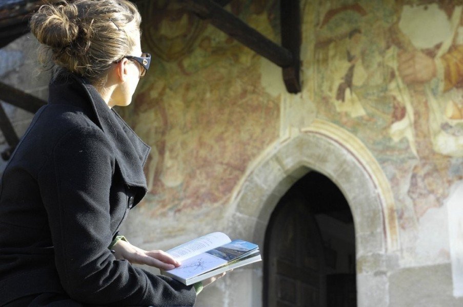
With the church of Saint Catherine you will find a true architectural highlight beside the trail in Ried just a little while further. The religious place was firstly built in 1434 and is especially notable for its idyllic location within the landscape of South Tyrol. You will have a magnificent view onto the neighbored vineyards and the area around the village Ried from here. Furthermore, be sure to take a look at the interior of the church which includes Gothic elements that flourished during the high and late medieval period. If you are interested in visiting churches in general there is also the possibility of visiting the church of the Holy Nicholas in Albions before hiking back to Lajen on the theme path.
Variations
When in Ried, you can also continue your hike with the Gornegg Weg path and get back to Lajen like that.
Getting here
By car
From Brixen
Leave the city with the SS12 and follow the road until you can take a left onto the SS242d. Follow the SS242d for the next 5 miles (7.5 km), then take a sharp left onto the SS139, which will lead your way directly to Lajen.
From Bozen
Firstly, take the SS12 for 13 miles (21 km). Then, when you have reached Waidbruck turn right onto the SS242 which will get you to the SP24 with a roundabout. Follow the road from here in the direction of Santa Caterina. You will reach the SS242d from here where you take a sharp left onto the SS139, which will lead your way directly to Lajen.
From Wolkenstein
Take the SS242 from the Grödner valley and be sure to take a right in the roundabout shortly before St. Peter to get to the SS242d. This road will split after a few miles where you leave the road onto the SP139 which will lead your way directly to Lajen.
There are numerous parking spots available in Lajen.