
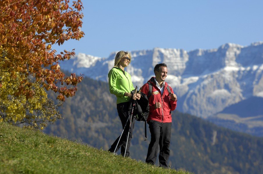
Route description

Start at Weiler Dun
The Weiler Dun marks the starting point of the tour. Follow the path from the parking area alongside the river. Make sure to ignore the first junction to the right and continue on the trail that starts to move away from the river after a while. Now you will follow the path marked with the number 17, which will bring you up the mountain in steady pace. The trail will split into two at the beginning of the forest: Take the left one marked with number 13A and hike towards the Pfanderbach stream and the edge of the forest. This will bring you further and further into the river valley.
Across cottages and valleys
When the path marks split into trails number 18 and 13, chose to hike on number 18 to the left which will bring you to the cottage named Egger-Bödenalm. Make sure to take a rest here, the internal cheese dairy of the Egger-Bödenalm is just wonderful. Back on the trail keep following the paved way until you reach the point to cross the mountain cress on the right hand side and get to trail number 13. Above Drosse keep hiking beside the Gschirn. While reaching the beginning of the valley cross the river and hike further up the mountain until get to the Pfunderer Hightrail.
Fun at the Gampielalm cottage
Next a well developed forest trail is to be followed in order to get up to the Gampielalm cottage. It is beneficiary to plan in a rest here; the cottage is famous for the exceptional view onto the Pfunderer valley. Especially children will enjoy the Gampielalm with its own petting zoo! After a fulfilling stop here you can peacefully start walking back towards the starting point. You will recognize the main road that will show you the way back to the parking area at Weiler Dun. Of course you can always take the path in the opposing direction towards Pfunders if you are traveling with public transportation.
Where to eat
On this hike it is ideal to get food at the Gampielalm cottage .
Interesting facts
- You're traveling a distance of 12 km on this moderate trail. The average length of all hikes in South Tyrol is 12 km.
- You're facing an uphill climb of 594 vertical meters on this hike. The highest point of the track is 2,047 m above sea level.
- Make sure to bring sturdy footwear on this track. Hiking boots are highly recommended. There are places to buy beverages and food along the track. However it’s always recommended to bring enough water and food along with you.
Video
Highlights of the tour
Clearly, the highlight of the tour is the one in a kind view onto the marvelous Pfunderer valley. After partly hiking through the valley, you will enjoy the panorama view while you are on the back of the mountain. Moreover, the path leads you directly beside impressive rock faces. These do not really express any danger, but turn the hike into a true nature adventure. Meanwhile, the hike invites you to take relaxing breaks on the way. Since the path used to be a Way of the Cross, you will walk across 14 different stations, with integrated rest areas.
Getting here
By car:
From Sterzing
Take the A22 highway and follow it for 13 miles (21 km). Then take the exit towards Brixen-Pustertal and continue on the SS49 until you reach Nidervintl. Here you will get to the Troyenbachweg whilst taking the J.-A. Zoller street. Last but not least this street will get you up to Pfunders and further to Dun.
From Bruneck:
While taking the Via Brunico make sure to drive off at the exit towards Brixen to get to the SS49 which you will follow for 9 miles (15 km). Shortly before Niedervintl turn onto the Weidenhofeggstreet (SP40). Then again turn onto the Troyenbackweg within the village which will finally lead your way to the Pfunders and further towards Dun.
From Brixen:
Leave the city towards Bruneck to get to the SS49. Follow the SS49 for 4 miles (7 km) to get to the beginning pf Niedervintl, from which you will get to the Troyenbachweg through the J.-A. Zoller street. Last but not least this street will get you up to Pfunders and further to Dun.
There are many parking spots available at the Weiler Dun.
Public transportation
You can also reach the starting point of the hike with the train and bus. Take the train to Vintl and the bus towards Pfunders from the station. From Pfunders you can easily get to Dun.