
Route description
The hike to Corno di Fana/Pfannhorn is particularly recommendable because of the mountain panorama. As the mountain is already in the main Alpine crest you have a breathtaking view of all the famous Dolomite peaks, the Ortler group and the Ötztaler Alps. On the summit there is a panorama map on which all the mountains are listed.
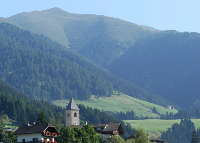
From Gandelle the track passes at the chapel of Gandelle, the Bergrast guesthouse and the Hoferhof farm until the forest. Then the path no. 25 goes along a small service road - initially asphalted but soon becoming unsurfaced - into the Golfental valley. Further on the well-marked trail takes in wide bends through the forestup to the forest border and finally across wide grassy slopes up to the Rif. Bonner/Bonner Hütte hut. From there uphill along the grassy ridge of the mountain till the summit.
Descent: To turn the hike into a circular tour, you can take the following route:
From the summit the marked trail along the north-west ridge goes down to the Pfanntörl. From there the trail no. 25A takes across grassy slopes down to the Bergalm Alpine pasture area. A wide trail takes along the Golfental valley through meadows and woodland down to the route you went up, and back to Gandelle; this route is only slightly longer than going straight back down.
Interesting facts
- You're traveling a distance of 5 km on this strenuous trail. The hike is therefore not too long. The average length of all hikes in South Tyrol is 12 km.
- Elevated between 1,591 m and 2,662 m, the hike is among the 10 highest elevated hikes in Italy. You're facing an uphill climb of 1071 vertical meters on this hike. This makes the hike one of the 15 hikes with the most ascent in Italy.
- The trail is one of the dog friendly hikes in the region. (See all dog friendly hikes in South Tyrol.)
- You shouldn’t forget to bring your hiking boots. There are some sections on the trail where sturdy footwear is required. There are places to buy beverages and food along the track. However it’s always recommended to bring enough water and food along with you.