Hike Winter walk in the S. Silvestro Valley - on the traces of game in the Three Peaks Dolomites: Position on map

Hike Winter walk in the S. Silvestro Valley - on the traces of game

Winter walk in the S. Silvestro Valley - on the...

Elevation

Min: 1,492 m
Max: 1,807 m
Uphill: 316 m
Downhill: m
  • Upload GPS data
Rate the Hike
0
(0)
Travel Deals & Tips
Advertisement
Advertisement
Advertisement
Facts
Difficulty
Moderate
Distance: 4.49 km
Duration:2 h
Min: 1,492 m
Max: 1,807 m
Uphill: 316 m
Downhill: m

Best Season

Trail characteristics

Forest track
Hiking trail

Route description

© Tourismusverein Toblach - Wisthaler

This roundtrack goes in the middle of the wood, maybe you can see some traces of game.

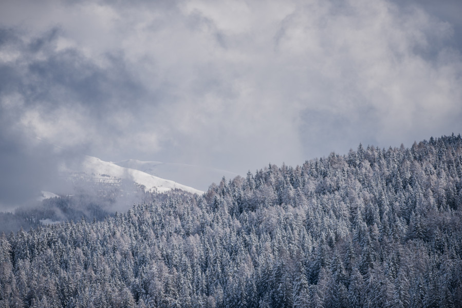
The winter hike starts from the "Schönegger Säge". The path no. 1 takes along the snowy Valle San Silvestro/Silvetertal until the Malga San Silvestro/Silvesteralm (closed in winter).

Sturdy shoes necessary

Interesting facts

Read more
  • You're traveling a distance of 4 km on this moderate trail. The hike is therefore not too long. Average length of all hikes in South Tyrol is 12 km.
  • You're facing an uphill climb of 316 vertical meters on this hike. The highest point of the track is 1,807 m above sea level.
  • Make sure to bring sturdy footwear on this track. Hiking boots are highly recommended.

Contact

Tourismusverein Toblach
Dolomitenstr. 3
39034
Toblach
E-Mail
%69%6e%66%6f%40%74%6f%62%6c%61%63%68%2e%69%6e%66%6f
Phone+39 0474 972132
Fax+39 0474 972730
Travel Deals & Tips
Advertisement

Comments

Rate the Hike
No posts available yet:
  • Nobody has posted on the wall of the Hike "Winter walk in the S. Silvestro Valley - on the traces of game" yet
  • Be the first to comment!
Login with Google+
  • Share your personal insider tip and create new entries
  • Explore fantastic outdoor destinations when and where you want
  • Find your dream destination or discover the world on the interactive map