
Route description
At the entrance of Kurpark Winterberg, around the hiking information centre, right by Rothaarsteig trail, you can find the entrance to Schluchten- und Brückenpfad (ravines and gorges trail).
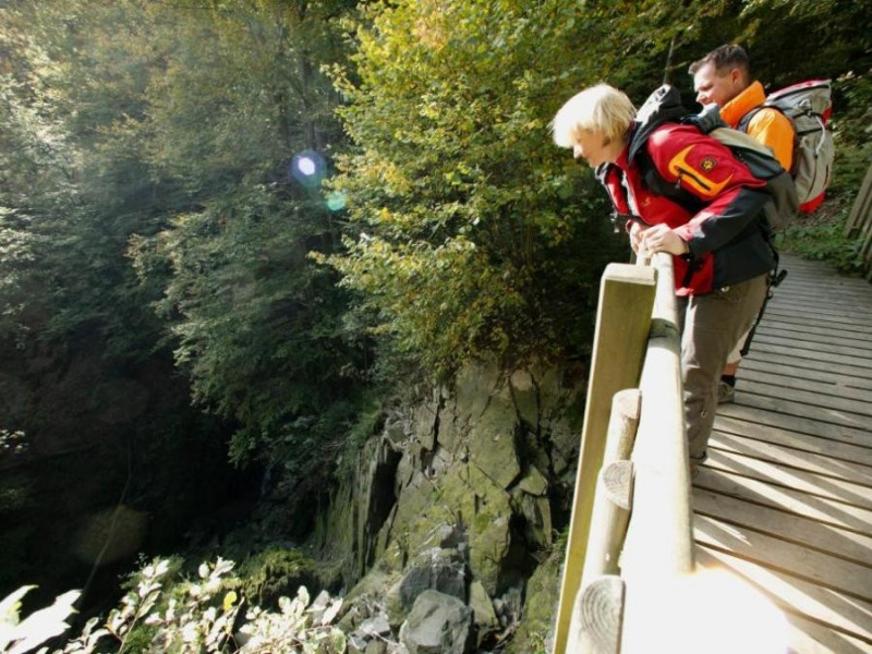
The signs of the themed trail lead you along this circular path. A yellow dot points the way to Lake Constance. The path starts underneath Bahnhofstraße, high above the valley bottom. After a few stairs, you reach the first bridge, where you start following Rothaarsteig to the left.
Afterwards, turn right into the valley. At the junction, go left to cross the bridge, and descend through the broadleaf forest to Lake Constance, a nature and fishing lake. Hike along the lake's east bank to the right. This is where you find the second portal from Elkeringhausen, featuring a rest area as well as a car park.
Hike along Lake Constance past fishing spots. Two yellow dots now lead the way back to the city. Along the stream Helle, you cross bridges, climb 61 stairs and some serpentines up to the fork, where you turn reight. At the next bridge, numerous water flumes go deep into the mountain. Enjoy the breathtaking nature sitting on the bench amidst the stream.
Afterwards, exit the valley to the right, over a first bridge you've crossed before, and onto the sunny side of the valley. After the ascent, hike leftwards along rock faces, on a broad path with the last bridge back to Winterberg.
Interesting facts
- You're traveling a distance of 4 km on this moderate trail. The hike is therefore not too long. Average length of all hikes in North Rhine-Westphalia is 49 km.
- Winterberger Schluchten- und Brückenpfad Trail is among the 3 best rated Hikes in Germany.
- You shouldn’t forget to bring your hiking boots. There are some sections on the trail where sturdy footwear is required.
Equipment
The hike is short, but does require some stamina. Light, sturdy hiking shoes with a grip sole are recommended. Some passages require a safe step, bits of the trail may be wet. Hiking poles can be advantageous, otherwise regular hiking clothes according to season.
For safety reasons, the hike is not recommended for strollers, rollators, or wheelchairs.
Getting here
By car, you can get to Winterberg via the roads B480 and B236. Car parks are available at Kurpark or at the train station.
The starting point is within walking distance from the railway station, in case you arrive by train.