Route description

Eastbound Hike
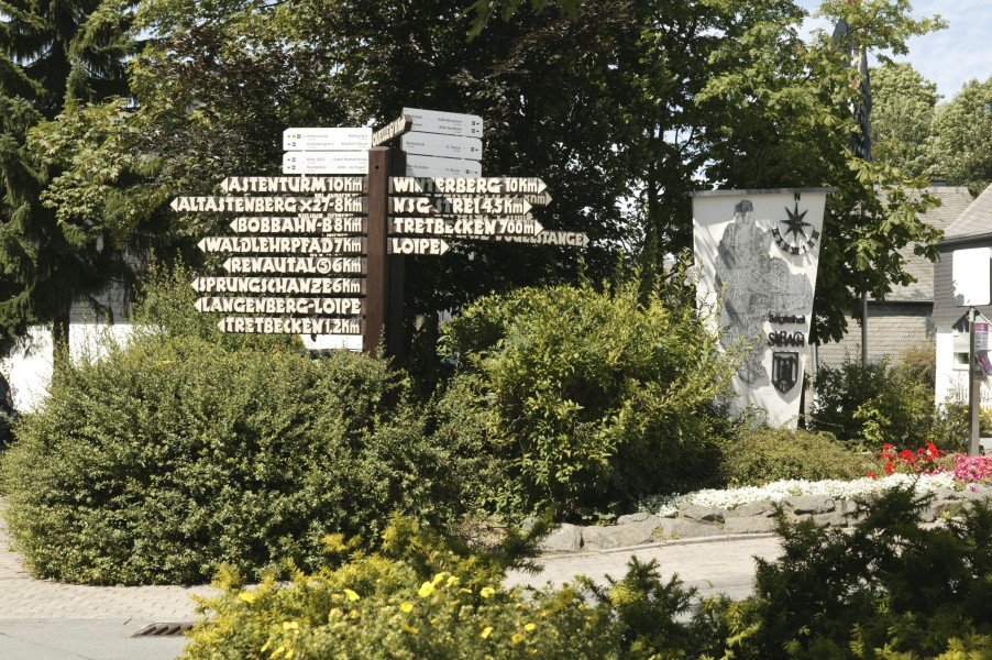
From Schilderbaum town centre Silbach, walk eastwards, following the X2 and L740 marks steeply up Silberberg mountain. After the forest ends, you cross a meadow path to the hut St. Blasius. Follow the Sb3 and rhombus signs back to the path you came on, then turn left and walk to the gravel path, which you follow uphill.
At the edge of the forest, turn right and walk through a ravine and over a meadow path. Now turn left and follow the rhombus and Sb3 signs to the star crossing 'Nordhelle'. Follow Sb straight to Nordhelle-Silberberg, then to the right, downhill towards Silberberg. You can take a rest on the bank to your left and enjoy the view over Siedlinghausen.
Turn right and walk downhill through the mixed forest. Hike on to the junction and continue straight to the mountain hut Fuchshohl. Straight on and uphill through the forest, don't forget to enjoy the view, and past Himmelswiese meadow to the right and down to Kreuzberg. Descend steeply via the stations of the cross. Watch out, this bit can be slippery!
Now you reach the stations of the cross chapel. Steeply downhill, past the graveyard, you reach L740, which you cross. Hike through a gate and over a bridge, then turn left past the curch hall and walk parallel to the stream. Turn right to cross a bridge, and then down the stairs to your left through a park back to where you started.
Westbound Hike
From the starting point specified above, walk to the west, following the X2 signs uphill over Burgstraße. Behind the underpass marked Sb1 and Sb, follow Hillebrandweg trail towards Alter Sportplatz/ Fischteiche until you reach the junction Renautal. Continue uphill to the market squares. At the crossing, turn right to go to the viewing point Hochspannungsleitung.
After you have reached the hut Im Hagen, hike on along Hillkopf, enjoying the view over Silbach and Ennert. From here, the panoramic trail leads you to a crossing, where you turn sharply to the left, in order to walk back to Silbach where you started.
Interesting facts
- You're traveling a distance of 15 km on this moderate trail. The average length of all hikes in North Rhine-Westphalia is 49 km.
- Taking your dog on this trail shouldn’t be a problem.
- Sturdy hiking boots are recommended on this track. There are places to buy beverages and food along the track. However it’s always recommended to bring enough water and food along with you.
Equipment
Sturdy hiking boots with grip sole and a safe step are required. Clothes according to season and weather. Don't forget sun protection.
Getting here
By car
You can get to Silbach from Winterberg over L740. Free parking available.
Public transportation
Bus 356 goes from Winterberg to Silbach.