Route description

Starting at the hiking board at Lambertusplatz square, you walk right and then up to the country road. After a few steps, walk left past the road and to the leisure area 'Schlade'. Continue on Alte Königsstraße (old king's road)
Alte Königsstraße
Follow the road uphill to a bench, where you have a nice view over the valley of Westernau. Hike along the edge of the forest to the right, and then straight on, with a great view over the valley landscape Hildfeld-Grönebach-Küstelberg. Walk through the quaint Hachmecketal valley, always along the stream, and down into Hilletal valley to the former spool mill. Pass the tree nursery and get to Grönebach-Niedersfeld country road. Keep left, where you come across an old railway embankment at Haus Sandner.
Kleinbahn Steinhelle-Medebach
Now follow the old embankment to the right, past the sports field, until you reach Hille bridge with its offset circular arcs. First go to the right, then left steeply uphill, where you meet the traces of the old 'Iäselpoad'.
Iäselpoad
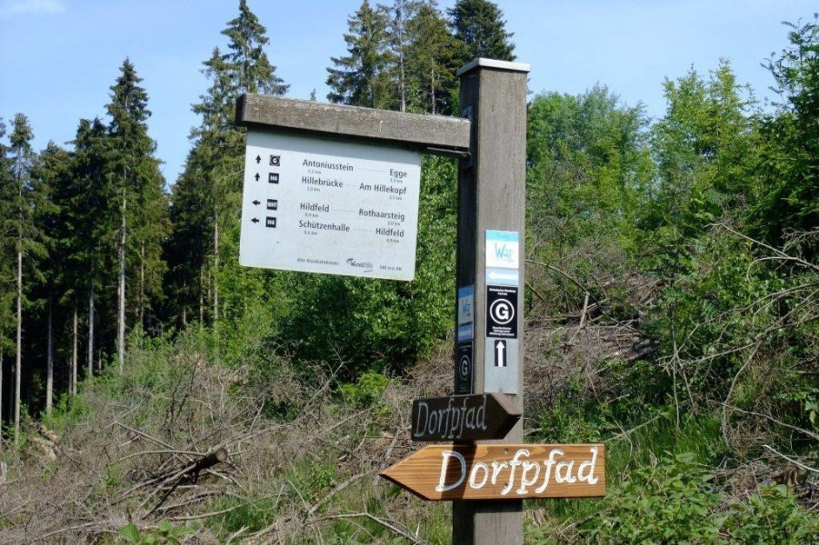
Hike along Iäselpoad trail, cross an asphalted field path, and get to Grönebacher Steinacker. Keeping sight of the village with its church tower, continue on an old ravine, then turn right on the slope of Mosenberg mountain and walk to Antoniusstein. Follow the signs pointing to Springetal. At the country road, walk up to the viewing spot on Egge (680m/2,231ft), the highest point of Grönebacher Dorfpfad. Walk down the mountain on the other side, and on to the left to Ruipes-Ropes-Hütte with a large resting area at Entenwiese. A beautiful path leads you past the football field and the village fountain back to Grönebach.
Interesting facts
- You're traveling a distance of 11 km on this moderate trail. Average length of all hikes in North Rhine-Westphalia is 49 km.
- Sturdy hiking boots are recommended on this track. If you get hungry along the way, there are places to rest and get food. Nevertheless it’s recommended to also have enough water and food in your backpack when hiking or biking.
Highlights of the tour
Grönebach's Antonius stone dates back to 1731, the one in Hildfeld to 1704. Antonius of Panua is particularly worshipped in the Sauerland region. Day and night, candles burn in front of the wayside shrine.
Equipment
No special equipment needed.
Getting here
By car
Grönebach is part of the city of Winterberg, and is located at L 872 between Niedersfeld and Küstelberg.
Public transportation
Bus line S30 takes you to Grönebach-Feuerwehrhaus.