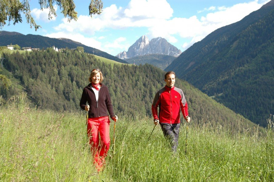
Route description
Start in the city center of Lüsen
You will begin your tour in the city center of Lüsen on the Kulturweg (translated: culture path). Leave the city walking in southern direction. Follow this path for a couple of yards until you reach a junction. Follow the path called Kreuzweg (translated: cross path) marked with the number one. Stay on this trail for a while. This path also leads you parallel to a small creek called Lansankenbach. Traverse the creek but stay left. The creek should be on your left side now. You will walk on a nicely constructed road for a couple of minutes until you turn left onto the panoramic trail.
Up the mountain on a beautifully green trail
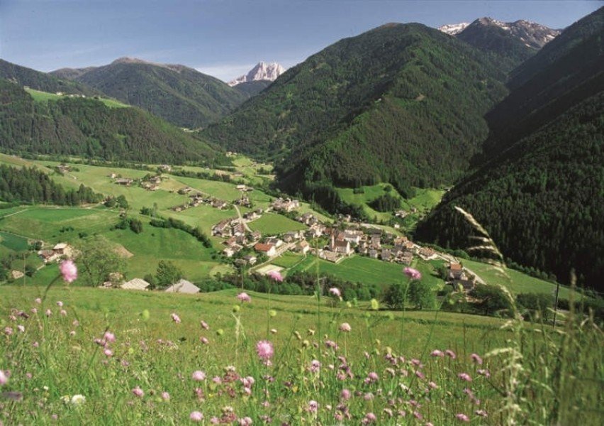
After a few hundred yards you will reach a junction with the main street. Cross the road onto the Flittrunder Panorama path where soon after you will reach the city of Rungg. Walk straight through the village till you see the edge of the forest. You will continue on the trail marked Lüsner Panorama path. The trail in the forest is a little more even. From the village up to the forest it will be a small ascent and hiking uphill but once you reach the forest it will be a nice smooth walk. Once you reach the Gfasebach creek you will see another constructed path on your left. Follow said path alongside the creek until you are back in the village of Lüsen.
Where to eat
You will find restaurants to eat and drink in the city of Lüsen as well as in the smaller village of Rungg.
Interesting facts
- You're traveling a distance of 6 km on this easy trail. The hike is therefore not too long. The average length of all hikes in South Tyrol is 12 km.
- You're facing an uphill climb of 189 vertical meters on this hike. The track is therefore relatively flat. The hike takes you to an elevation of 1,200 m.
- The hike is one of the family friendly trails in the region. What’s even better: You can also bring the family’s best friend on this dog friendly hike. (See all dog friendly hikes in South Tyrol.)
- In case of good weather conditions, the hike can also be done without bringing your hiking boots. There are places to buy beverages and food along the track. However it’s always recommended to bring enough water and food along with you.
Highlights of the tour
With a moderate length of 5,5 kilometers (3.4 mi) this tour is perfectly suited for families. At the starting point in Lüsen and the surrounding area you will find lots of other possible activities to have fun with your children either before or after your hike. In Rungg you will be able to visit a petting zoo. Since your tour leads you directly through Rungg, this zoo is the perfect opportunity for a first rest-stop. Close by you will also find a Nature Play Ground with its very own Kneipp water-treading basin.
Shortly before you re-enter Lüsen you will find a natural lagoon perfect for cooling off. This small lake is embedded in the midst of beautiful nature and is worth seeing for its deep green-shimmering water color. The water was biologically cleansed which makes this idyllic bathing area a must-see on your tour. If these highlights are not intriguing enough, you will always have the nature, wildlife and landscape on all sides around you. At the look-out point Zalner Leiten you have an exceptional stunning panoramic view onto the surrounding scenery.
Getting here
By car
Starting in Bruneck
Leave the city driving in the direction of St. Lorenzen and eventually turn left onto the SS244 and follow the road for about 9,5 kilometers (5.9 mi). Shortly after Longega turn right onto the Strada Rina and stay on the street until you can change from the Antermoia onto the SP29. Drive into the direction of Petschieder street reaching the SP30. This road will take you directly into the city center of Lüsen.
Starting in Sterzing
Drive directly onto the Brennerautobahn (highway) A22 and follow the road for the next 31 kilometers (19.3 mi). Leave the highway at the exit to Brixen and take the first exit on the roundabout. Via the SS12 you will reach the Venetostraße street. Drive through Brixen and onto the SP30 which will lead you directly to the city center of Lüsen.
Starting in Bozen
Leave the city center and drive onto the Brennerautobahn (highway) A22 via the SS12. At the exit Klausen-Gröden leave the highway. Keep right and drive onto the SS12 again following the road until you reach Brixen. From there the SP30 will take you directly into the city center of Lüsen.
Public transportation
You can get to Brixen regularly by train. From there a bus can take you to your starting point in Lüsen.