Around Me
Search
List
Map
Combined
+
+
Guide
Europe
Germany
Austria
Italy
Switzerland
France
Spain
Greece
Great Britain and Northern Ireland
Czech Republic
Liechtenstein
Iceland
Romania
Belgium
Hungary
Portugal
Slovakia
Ireland
Netherlands
Denmark
Norway
Finland
Malta
Sweden
Slovenia
Lithuania
Serbia
Ukraine
Poland
North America
USA
Canada
Costa Rica
Oceania
New Zealand
Australia
Africa
Egypt
South Africa
Asia
Japan
China
United Arab Emirates
Turkey
India
Azerbaijan
Georgia
Iran
Russia
South America
Brazil
Hiking
Europe
Austria
Germany
Italy
Switzerland
Liechtenstein
France
Iceland
Romania
Belgium
Ireland
Norway
Great Britain and Northern Ireland
Denmark
Sweden
Spain
Portugal
North America
USA
Canada
Oceania
New Zealand
Australia
Biking
Europe
Austria
Germany
Switzerland
Italy
Romania
Spain
Liechtenstein
Great Britain and Northern Ireland
Lithuania
Finland
France
Iceland
Ireland
North America
Canada
USA
Swimming
Europe
Austria
Germany
Switzerland
Italy
Romania
Iceland
Hungary
Spain
Belgium
Slovenia
Malta
Ireland
Netherlands
Great Britain and Northern Ireland
North America
Canada
USA
Attractions
Europe
Germany
Austria
Italy
France
Switzerland
Spain
Greece
Czech Republic
Portugal
Slovakia
Great Britain and Northern Ireland
Hungary
Belgium
Netherlands
Iceland
Ireland
Denmark
Finland
Malta
Liechtenstein
Norway
Romania
Sweden
Serbia
Slovenia
Ukraine
Poland
North America
USA
Canada
Costa Rica
Oceania
New Zealand
Australia
Africa
Egypt
South Africa
Asia
Japan
United Arab Emirates
China
Iran
Georgia
India
Azerbaijan
Turkey
Russia
South America
Brazil
Magazine
News
Award
Active
Culture
Tips
Specials
On Tour
Inside
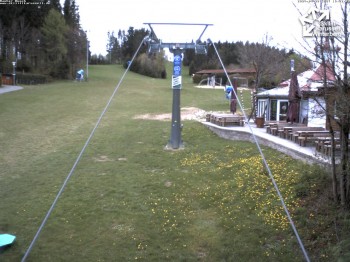
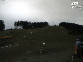
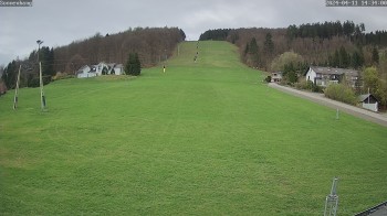
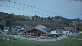
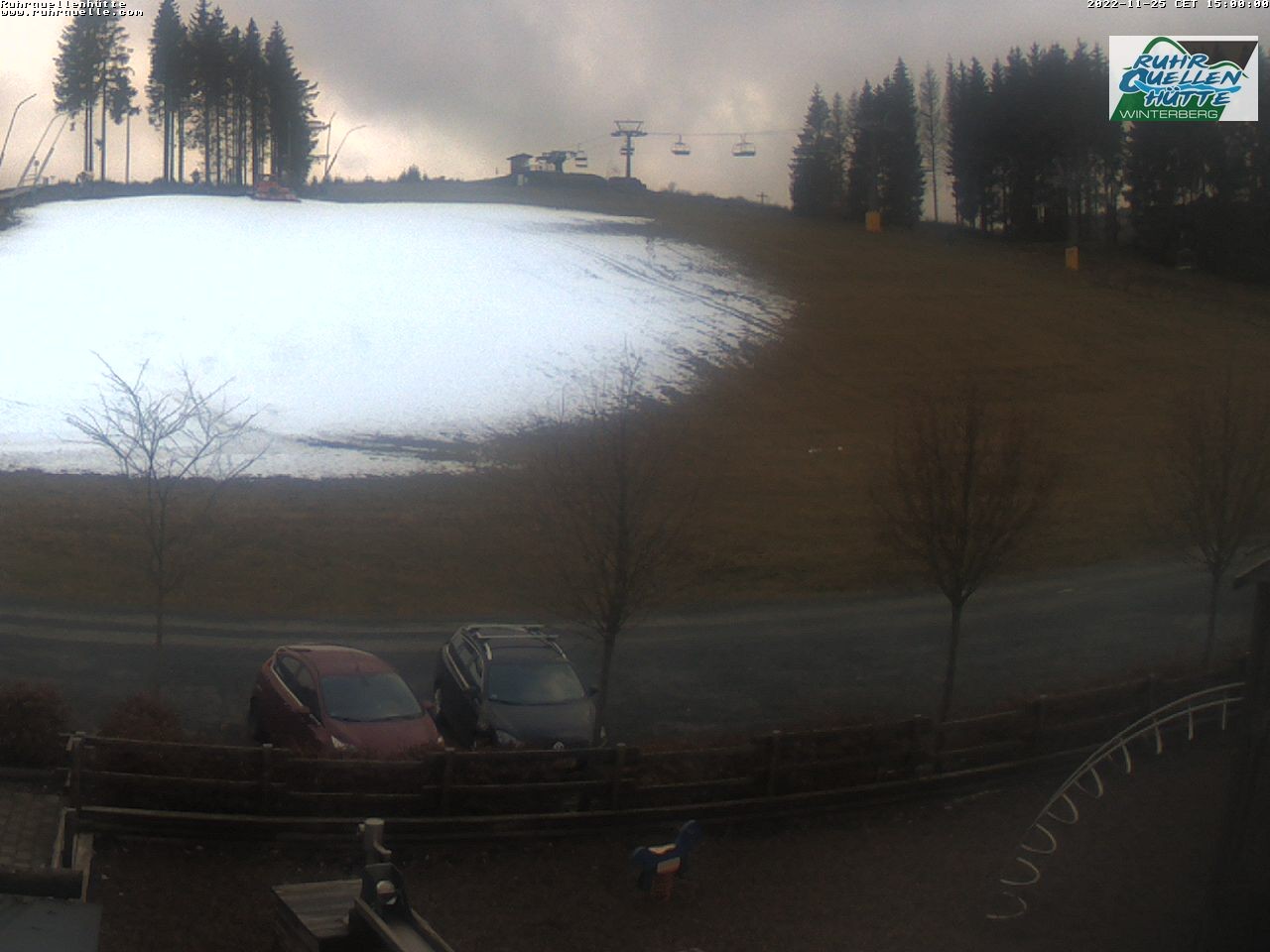
Webcam Ruhrquelle Winterberg Lower station, 633 m
Hike
Weather For Hikers
Webcams
Wall
Photos
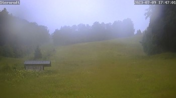
Winterberger Schluchten- und Brückenpfad Trail
Hike
Photos
Weather For Hikers
Webcams
Hikes
Europe
Austria
Germany
Bavaria
North Rhine-Westphalia
Sauerland
Bergisches Land
Baden-Württemberg
Saxony
Lower Saxony
Thuringia
Rhineland-Palatinate
Saarland
Brandenburg
Mecklenburg-Western Pomerania
Saxony-Anhalt
Italy
Switzerland
Liechtenstein
France
Iceland
Denmark
Great Britain and Northern Ireland
All countries in Europe
Romania
Belgium
Norway
Ireland
Sweden
Portugal
Spain
North America
Canada
USA
Oceania
New Zealand
Australia
Magazine
News
Award
Active
Culture
Tips
All magazine categories
Specials
On Tour
Inside
Misc.
The Perfect Match
Travel Guide
Map
Sweepstakes
Surveys
20:30
You can see parts of the terrace of the `Ruhrquellhütte´ which is frequented by bikers and hikers in summer.
Webcam broken? Description wrong?
Please, share your knowledge with our staff. Tell us what is wrong with this webcam.
E-Mail
Message
Send
Elevation:
633
m
Today's webcam images (Local Time: 20:33)
23:00
01:00
03:00
05:00
06:00
07:00
09:00
11:00
13:00
15:00
Latest
Webcam archive
Advertisement
Travel Deals & Tips
Advertisement
Webcams nearby
Winterberg: View chair lift "Rauher Busch"
Winterberg: View Kappe
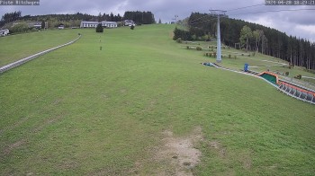
Eschenberglifte Niedersfeld the slope
Winterberg: St. Georg Ski Jump
Poppenberg near Winterberg
Winterberg: View chair lift Bremberg X-Press
summer toboggan run, Bruchhausen
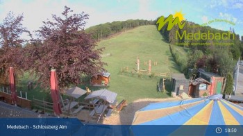
Medebach: View Schlossberg Alm
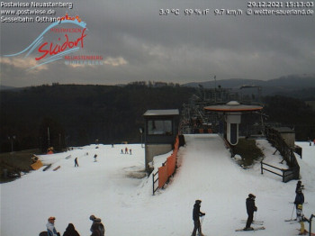
Neuastenberg: Upper station Osthang
View Kahler Asten
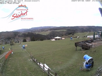
Obere Postwiese
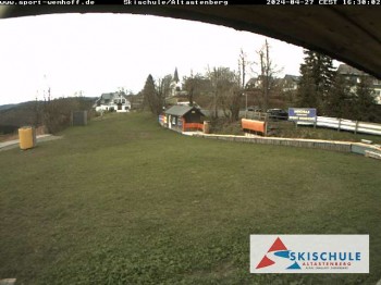
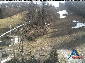
Altastenberg ski school
Schwalefeld slope
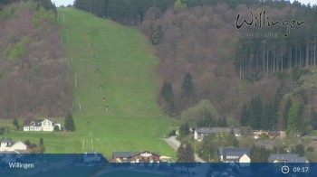
Willingen-Ettelsberg
Willingen - Ritzhagen
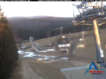
Altastenberg "Kapellenhang"
Ritzhagen- Willingen
Willingen: Ritzhagen Einkehrschwung
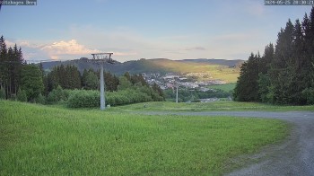
Mountain Ettelsberg in Hessen, Germany
Nearby
Winterberg Winter Village
0.3
km
Summer toboggan run Schanzen Wirbel in Winterberg
1.2
km
Summer toboggan run Herrloh Blitz in Winterberg
1.4
km
Show all
Bobsleigh Track Veltins-EisArena Winterberg
2.2
km
Summer toboggan run at the Kappe Adventure Mountain in Winterberg
2.3
km
Panorama Adventure Bridge in Winterberg
2.3
km
Climbing Forest Winterberg
2.4
km
Fly-Line Winterberg
2.5
km
Circuit Hochtour Winterberg - North Rhine-Westphalia
3.2
km
Grönebacher Dorfpfad Trail
4.1
km
Rallye through Neuastenberg
4.8
km
Mining and Culture
5.1
km
Hochsauerland-Kammweg
5.2
km
Kahler Asten and Odeborn - Cross Borders
5.3
km
Hike Rothaar
22.3
km
Advertisement
Login

 23:00
23:00 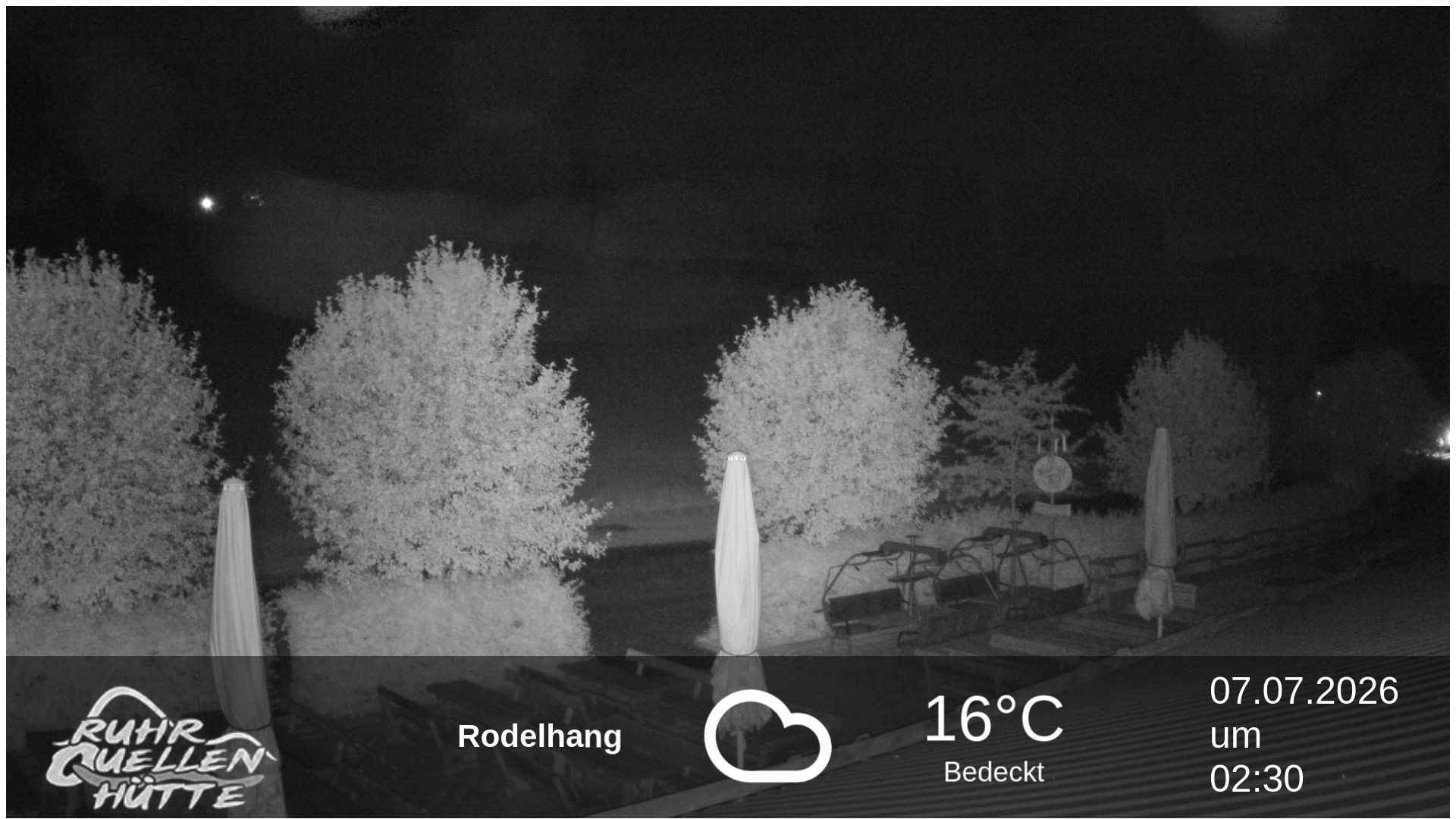 01:00
01:00 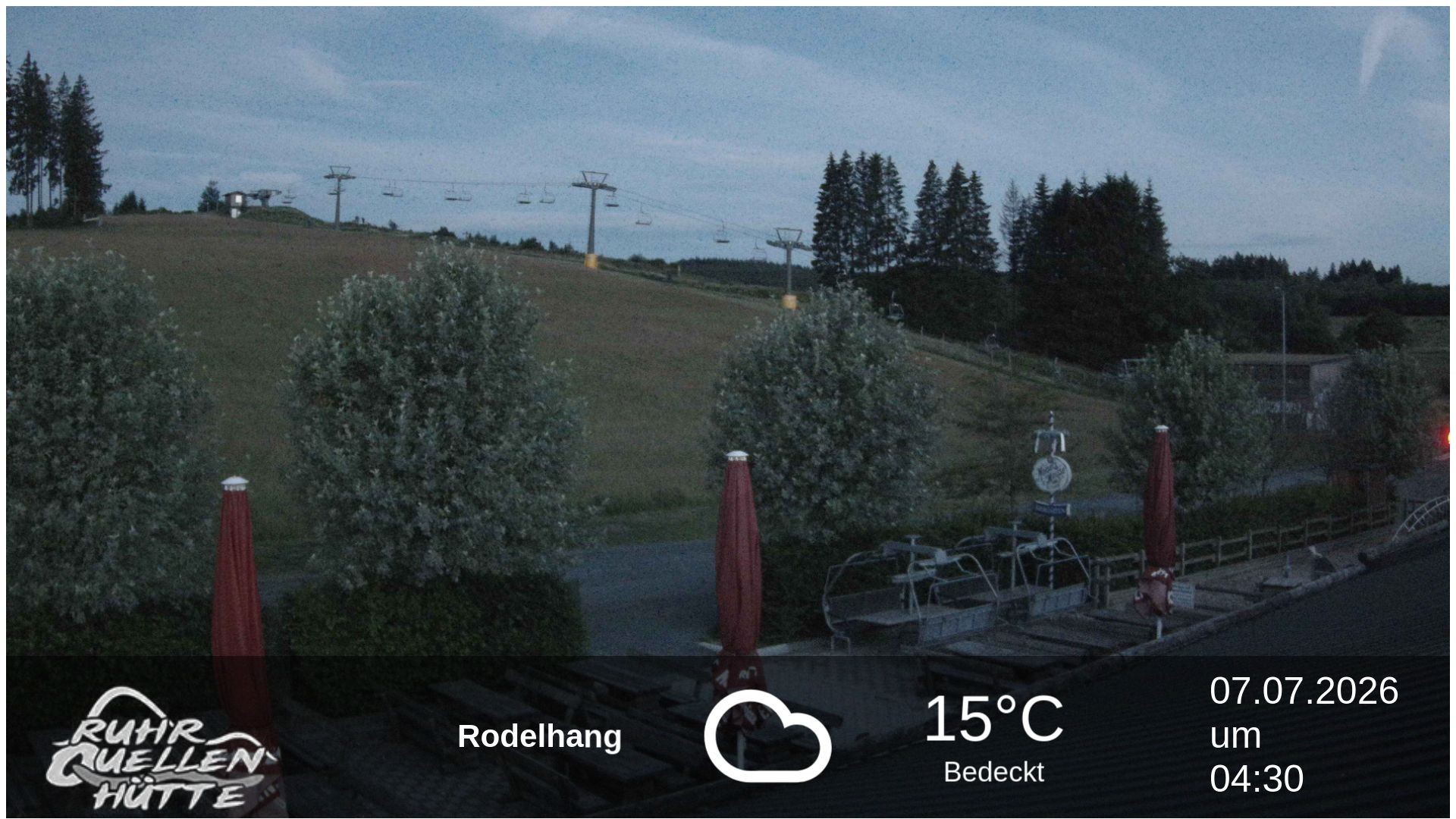 03:00
03:00 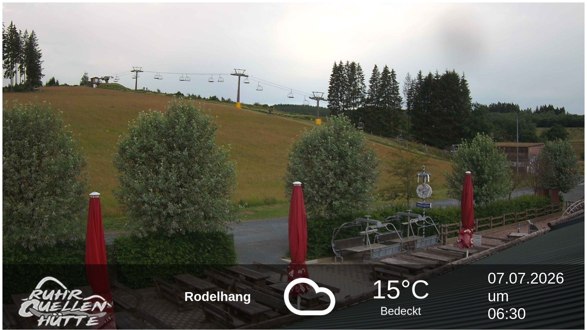 05:00
05:00 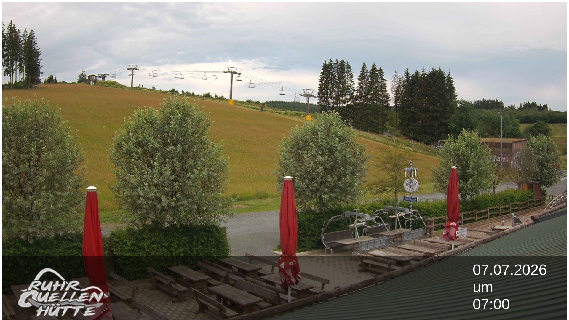 06:00
06:00 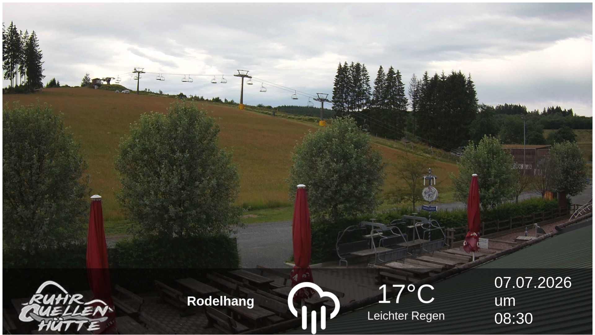 07:00
07:00 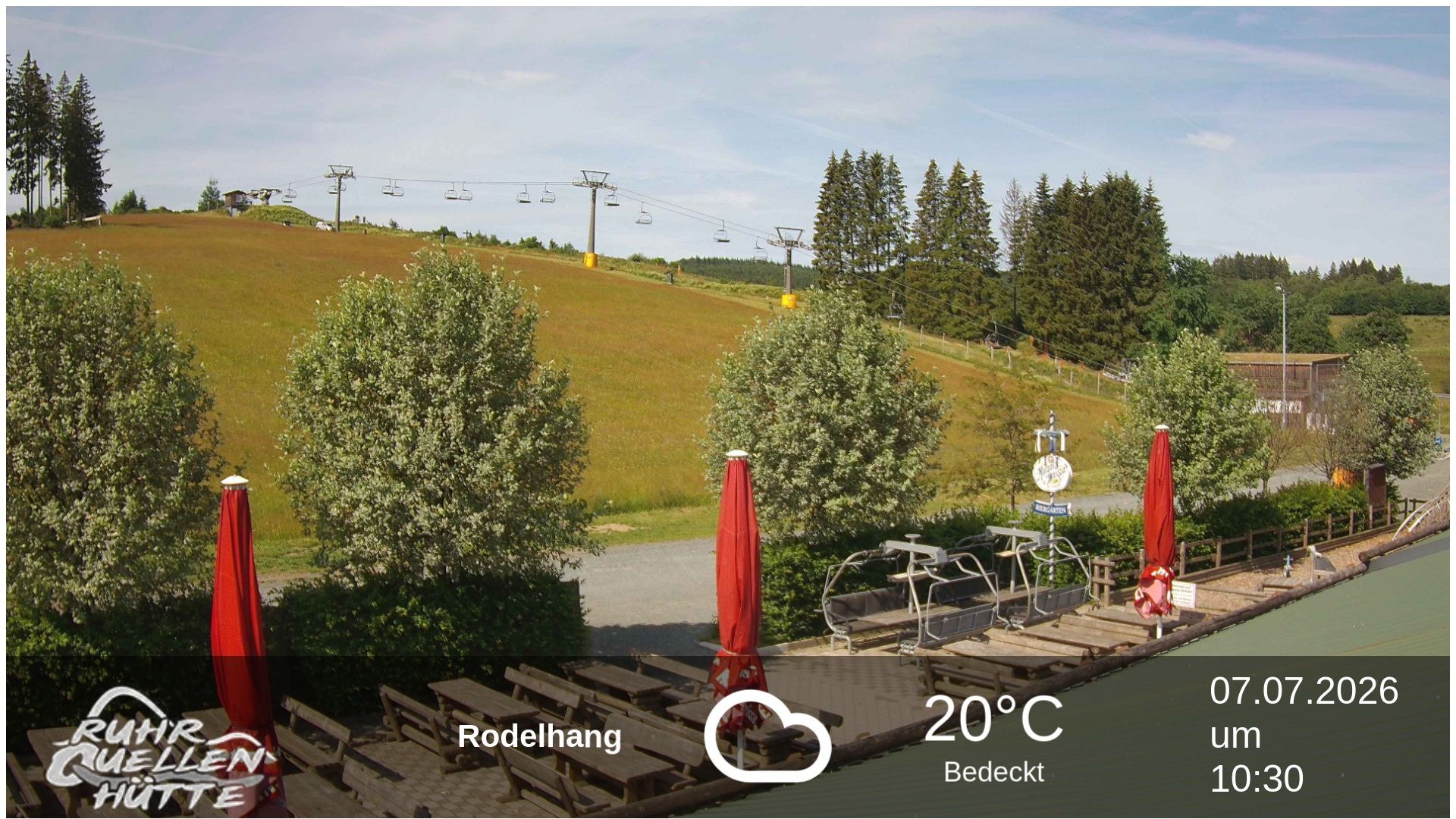 09:00
09:00 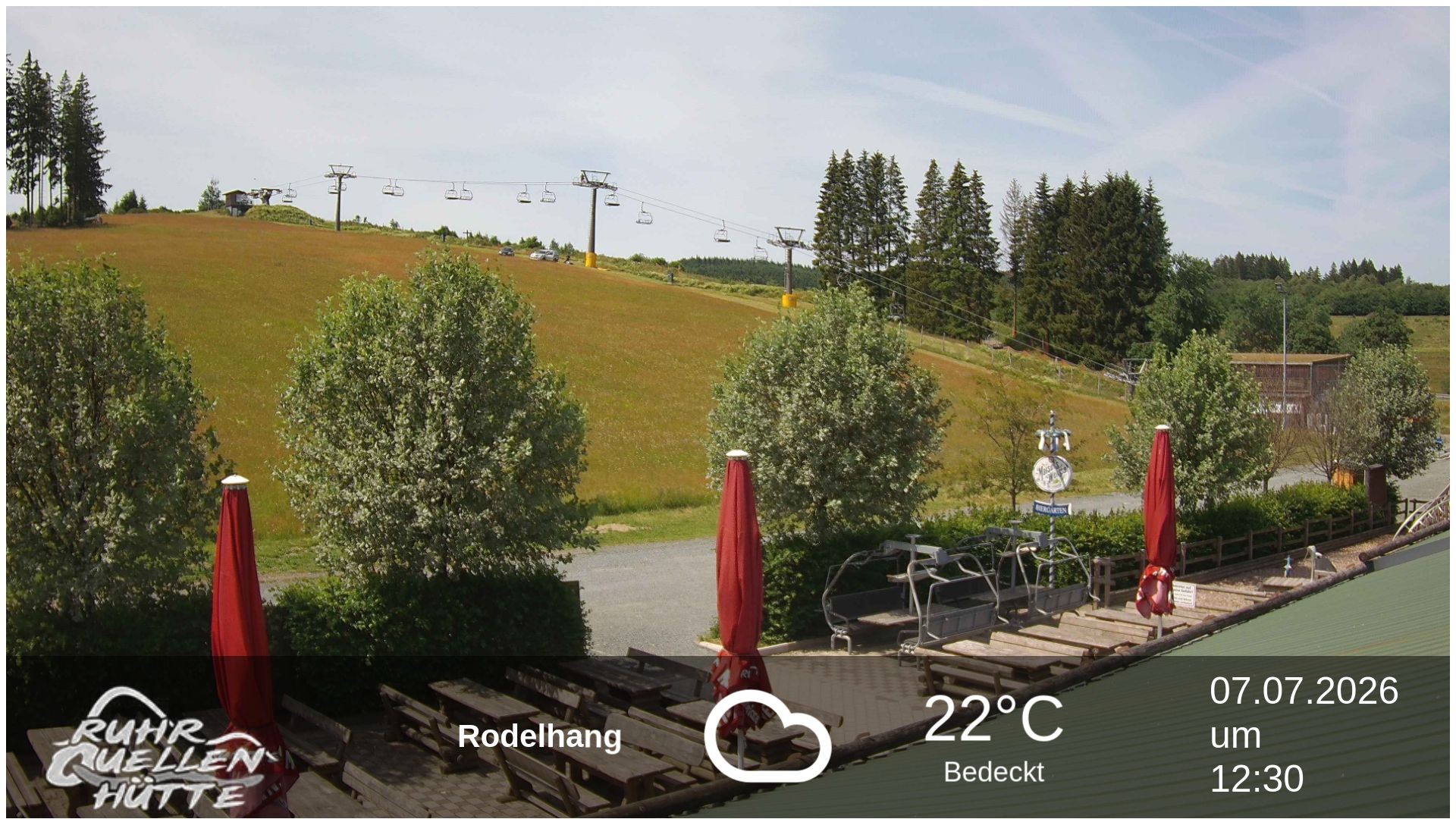 11:00
11:00 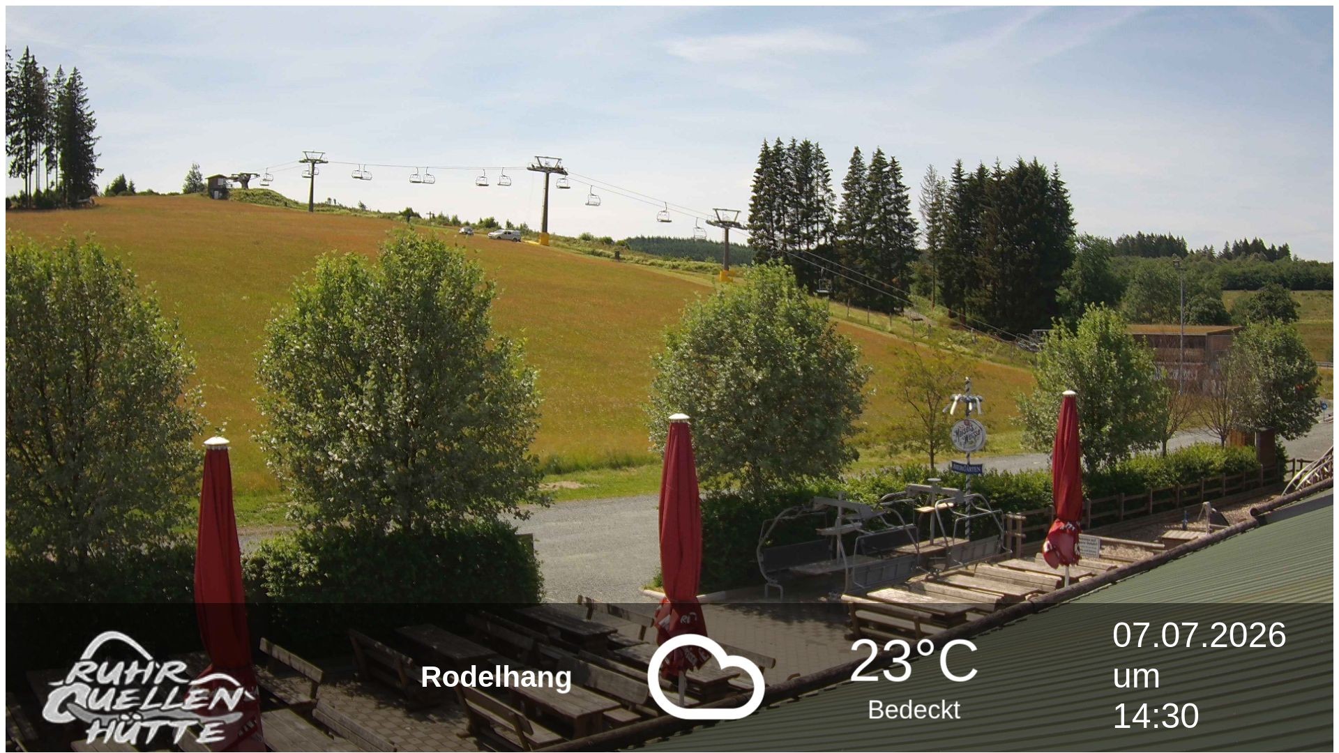 13:00
13:00 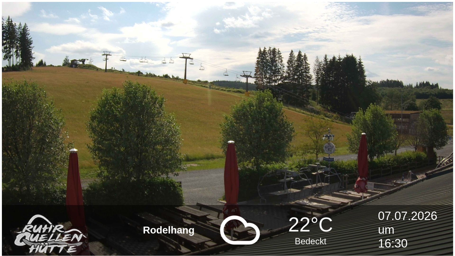 15:00
15:00 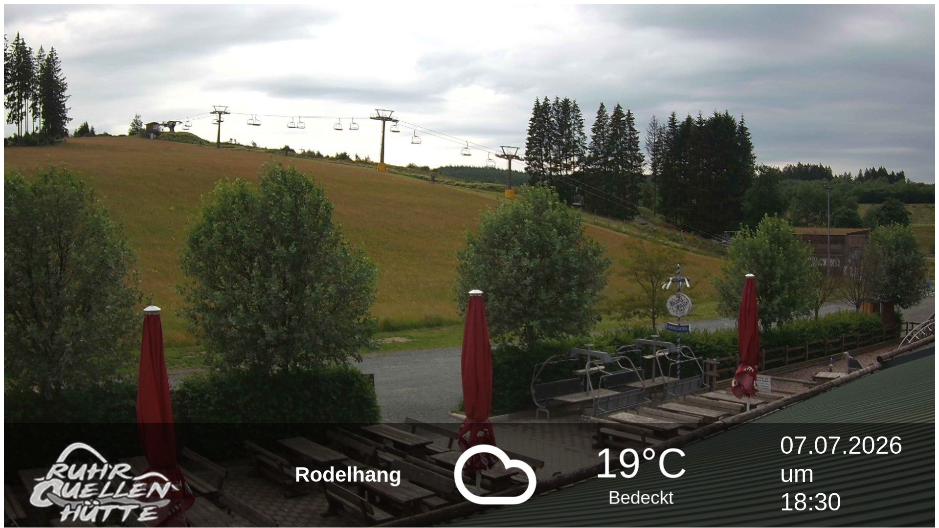 Latest