Route description

The hike starts at parking lot Grund, at the end of the biggest valley of Großarltal namely Ellmautal.
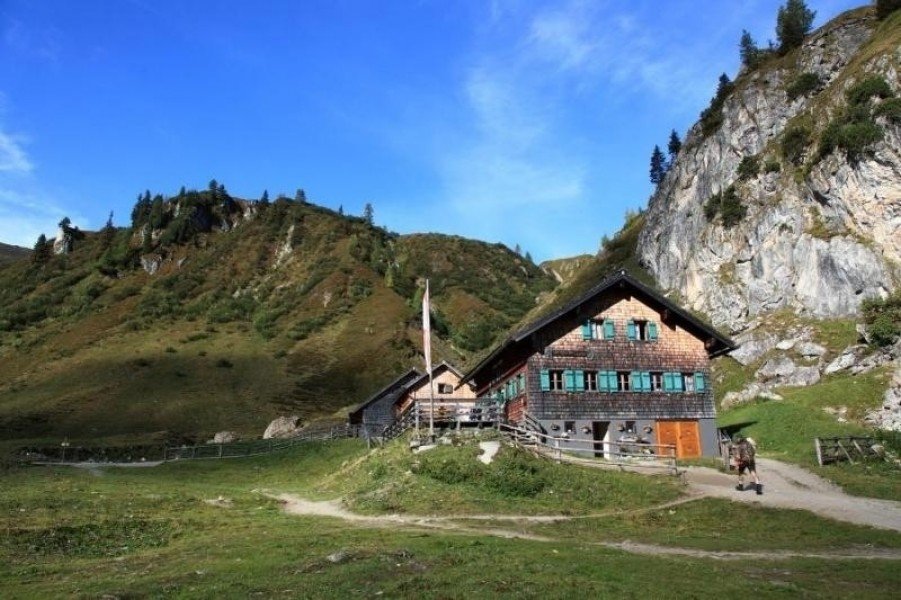
On an old path you get to alp Filzmoosalm. This hut is located within untouched nature. You will see alpine pastures, grassy mountain peaks and the cliffy massif of Draugenstein as well as Großer Schneibenstein. After a refreshment with home-made delicacies like bread, butter, cheese and bacon continue walking downhill passed many local domestic stone pines.
Eventually you will reach saddle Filzmoossattel. Directly at the saddle you will see an especially lovely designed gentian, the symbol of the Salzburger Almenweg. From alp Filzmoosalm to lake Tappenkarsee you will also walk on the trail Salzburger Almenweg.
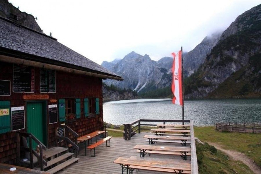
Great view on mountain Draugstein. This mountain is part of three chalk mountains in that area. The brickearth of Draugstein supposably has a curative effect. Because of all the chalk you will find an unique flora and fauna and also flowers, which you usually can not find in a valley. Continue to the Draugensteintörl. There you will already have a great view on lake Tappenkarsee, the biggest mountain lake in the east part of the alps. Now descend to hut Tappenkarseehütte. This alpine club house is located directly at the lake. They offer home-made products and warm delicacies like „Kaiserschmarrn“(original) and „Heidelbeerschmarrn“ (with blueberries).
Continue further along lake Tappenkarsee to alp Tappenkarseealm. Many winding roads lead down to alp Schwabalm from where you can take the „Wandertaxi“ cab back into Großarltal. Afterwards take a forest road to lake Jägersee. The stream Kleinarler Ache flows through that area and provides fresh water. Lake Jägersee is a great destination for the whole family.
From there you can take the bus (Postbus) back into Großarltal.
Interesting facts
- With an overall length of 17 km the hike is among the 10 longest hikes in Salzburg available on TouriSpo.
- Großarl/Ellmautal – Tappenkarsee – Jägersee is among the 3 best rated Hikes in Salzburg.
- You're facing an uphill climb of 980 vertical meters on this hike. The high point of the hike is located at an elevation of 2,068 m.
- Sturdy hiking boots are recommended on this track. There are places to buy beverages and food along the track. However it’s always recommended to bring enough water and food along with you.
Highlights of the tour
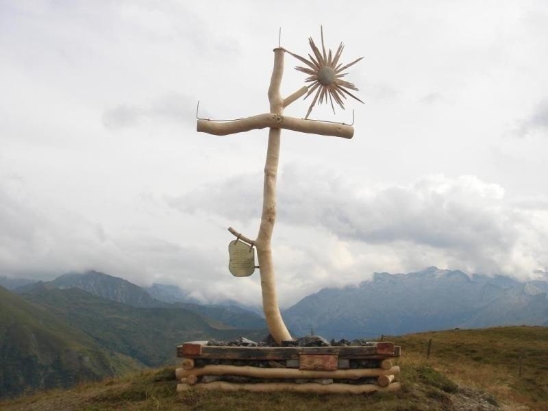
Right above saddle Filzmoossattel is Filzmoos hight. The 10 min ascent is worth the trouble. You will see a slightly different but very lovely and detailed summit cross to impress.
Equipment
Hiking boots with grip sole, map (Wanderkarte tappeiner number 311)