Around Me
Search
List
Map
Combined
+
+
Guide
Europe
Germany
Austria
Italy
Switzerland
France
Spain
Greece
Great Britain and Northern Ireland
Czech Republic
Liechtenstein
Iceland
Romania
Belgium
Hungary
Portugal
Ireland
Slovakia
Netherlands
Denmark
Norway
Finland
Malta
Sweden
Slovenia
Lithuania
Serbia
Poland
Ukraine
North America
USA
Canada
Costa Rica
Oceania
New Zealand
Australia
Africa
Egypt
South Africa
Asia
Japan
United Arab Emirates
China
Turkey
India
Azerbaijan
Georgia
Iran
Russia
South America
Brazil
Hiking
Europe
Austria
Germany
Italy
Switzerland
Liechtenstein
France
Romania
Belgium
Iceland
Norway
Ireland
Great Britain and Northern Ireland
Denmark
Sweden
Spain
Portugal
North America
USA
Canada
Oceania
New Zealand
Australia
Biking
Europe
Austria
Germany
Switzerland
Italy
Spain
Liechtenstein
Romania
Finland
France
Great Britain and Northern Ireland
Lithuania
Iceland
Ireland
North America
Canada
USA
Swimming
Europe
Austria
Germany
Switzerland
Italy
Romania
Hungary
Iceland
Spain
Belgium
Slovenia
Netherlands
Great Britain and Northern Ireland
Malta
Ireland
North America
Canada
USA
Attractions
Europe
Germany
Austria
Italy
France
Switzerland
Spain
Greece
Czech Republic
Portugal
Great Britain and Northern Ireland
Slovakia
Hungary
Belgium
Netherlands
Iceland
Ireland
Denmark
Malta
Liechtenstein
Norway
Finland
Romania
Sweden
Serbia
Slovenia
Poland
Ukraine
North America
USA
Canada
Costa Rica
Oceania
New Zealand
Australia
Africa
Egypt
South Africa
Asia
Japan
United Arab Emirates
China
Georgia
India
Azerbaijan
Turkey
Russia
Iran
South America
Brazil
Magazine
News
Award
Active
Culture
Tips
Specials
On Tour
Inside
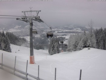
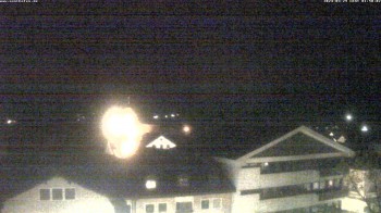
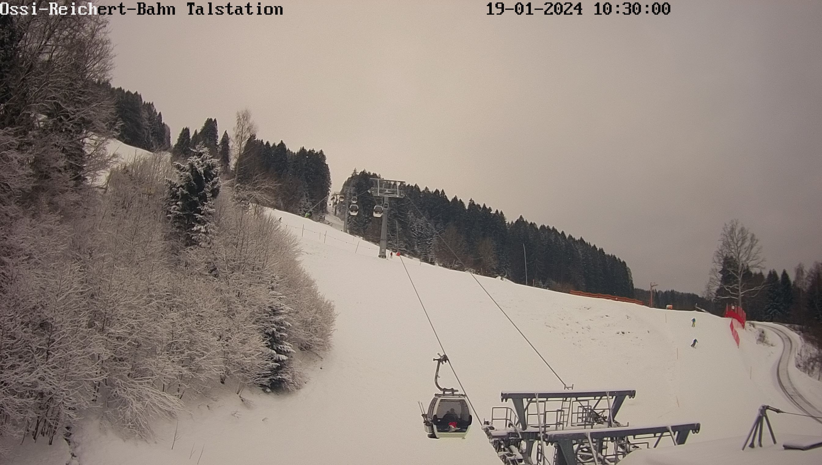
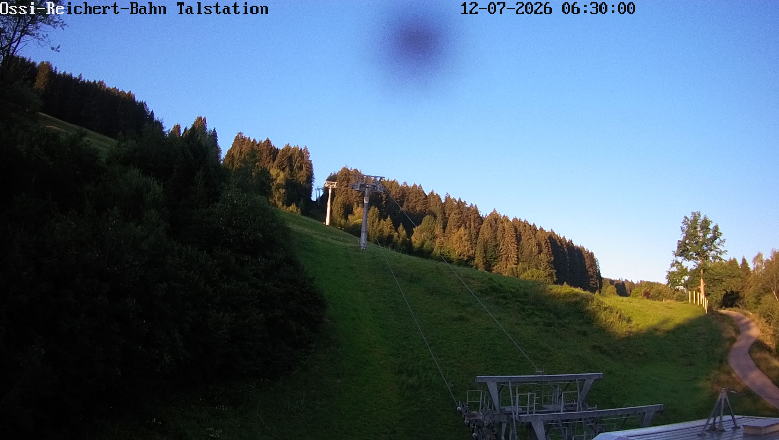
Webcam Gunzesried, 917 m
Hike
Weather For Hikers
Webcams
Wall
Photos
Water Runner Path - Allgäu Hiking Trilogy
Hike
Photos
Weather For Hikers
Webcams
Hikes
Europe
Austria
Germany
Bavaria
Allgäu
Bavarian Forest
Berchtesgadener Land
Zugspitz-Region
Tölzer Land
Passau and Surroundings
Chiemgau
Uper Palatine Forest
Bavarian Jura
Naturpark Altmühltal
Swabia (Bavaria)
North Rhine-Westphalia
Baden-Württemberg
Saxony
Lower Saxony
Thuringia
Rhineland-Palatinate
Saarland
Brandenburg
Mecklenburg-Western Pomerania
Saxony-Anhalt
Italy
Switzerland
Liechtenstein
France
Iceland
Great Britain and Northern Ireland
Denmark
All countries in Europe
Romania
Belgium
Norway
Ireland
Sweden
Portugal
Spain
North America
Canada
USA
Oceania
New Zealand
Australia
Magazine
News
Award
Active
Culture
Tips
All magazine categories
Specials
On Tour
Inside
Misc.
The Perfect Match
Travel Guide
Map
Sweepstakes
Surveys
15:59
You can see the base station of the Ossi-Reichert-Bahn in Gunzesried
Webcam broken? Description wrong?
Please, share your knowledge with our staff. Tell us what is wrong with this webcam.
E-Mail
Message
Send
Elevation:
917
m
Today's webcam images (Local Time: 19:21)
05:00
06:00
07:00
09:00
11:00
13:00
Latest
Webcam archive
Advertisement
Travel Deals & Tips
Advertisement
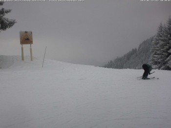
Webcams nearby
mountain station chairlift Weltcup Express
Peak of "Ofterschwanger Horn", 1.406 m
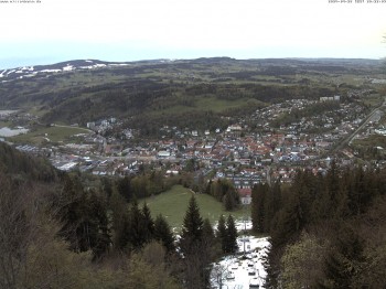
View of Immenstadt
Middle station Hörnerbahn - Hexen-Stadl
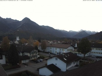
View from the town hall in Sonthofen
Town Hall Square of Sonthofen
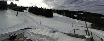
Hörnerbahn Bolsterlang
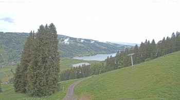
Lake "Großer Alpsee"
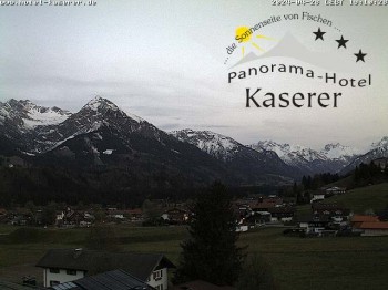
Fischen in the Allgäu, Kaserer Hotel
Rosenstock Hotel, Fischen in the Allgäu
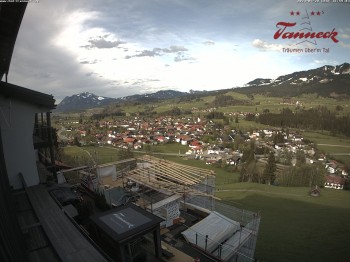
Fischen in the Allgäu, Tanneck Hotel
Alpsee chair lift (Alpsee Coaster)
Nearby
Treetop Path Skywalk Allgäu Scheidegg
1.8
km
Premium Winter Hiking Circuit Kapfwald - Oberstaufen
12.3
km
Premium Hiking Trail Nagelfluhschleife Alpenfreiheit - Oberstaufen
14.9
km
Show all
Premium Hiking Trail Wild Water - Oberstaufen
15.9
km
Premium Hiking Trail Luftiger Grat - Oberstaufen
19.3
km
Museum of Mountain Farming in Allgäu
25.3
km
From Bad Hindelang to Oberjoch
40.2
km
Zipfelalpe
46.6
km
From Zoeblen to Einstein summit
47.9
km
From Tannheim to Einstein summit
51
km
Barefoot loop Tannheim
51
km
Schneetalalpe - Gimpelhaus
58.3
km
Through the Birkental valley
59.2
km
Enziansteig – Krinnenspitze
59.2
km
Lechweg trail - Stage 7: Waengle - Fuessen
63.5
km
Highline179 Suspension Bridge near Reutte
66.6
km
Hohenschwangau Castle
66.9
km
Hike Heaven Hotspur Path - Allgäu Hiking Trilogy
73.5
km
Meadow Walker Path - Allgäu Hiking Trilogy
73.8
km
Advertisement
Login

 05:00
05:00  06:00
06:00 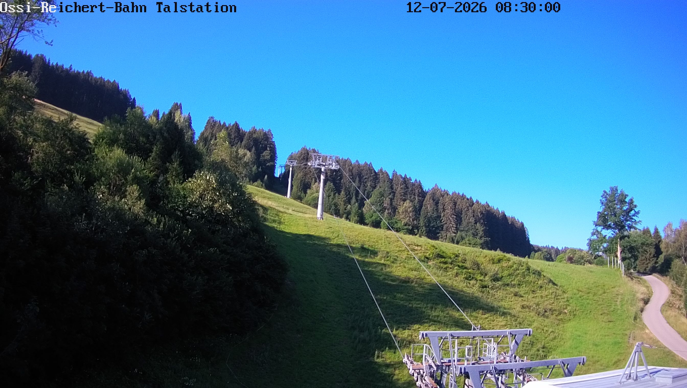 07:00
07:00 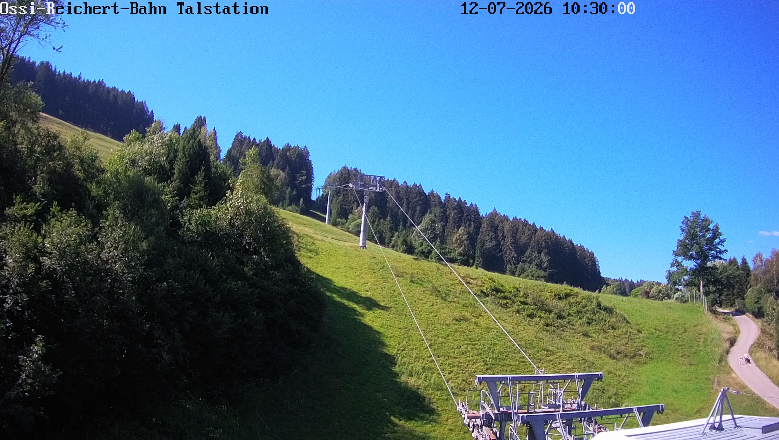 09:00
09:00 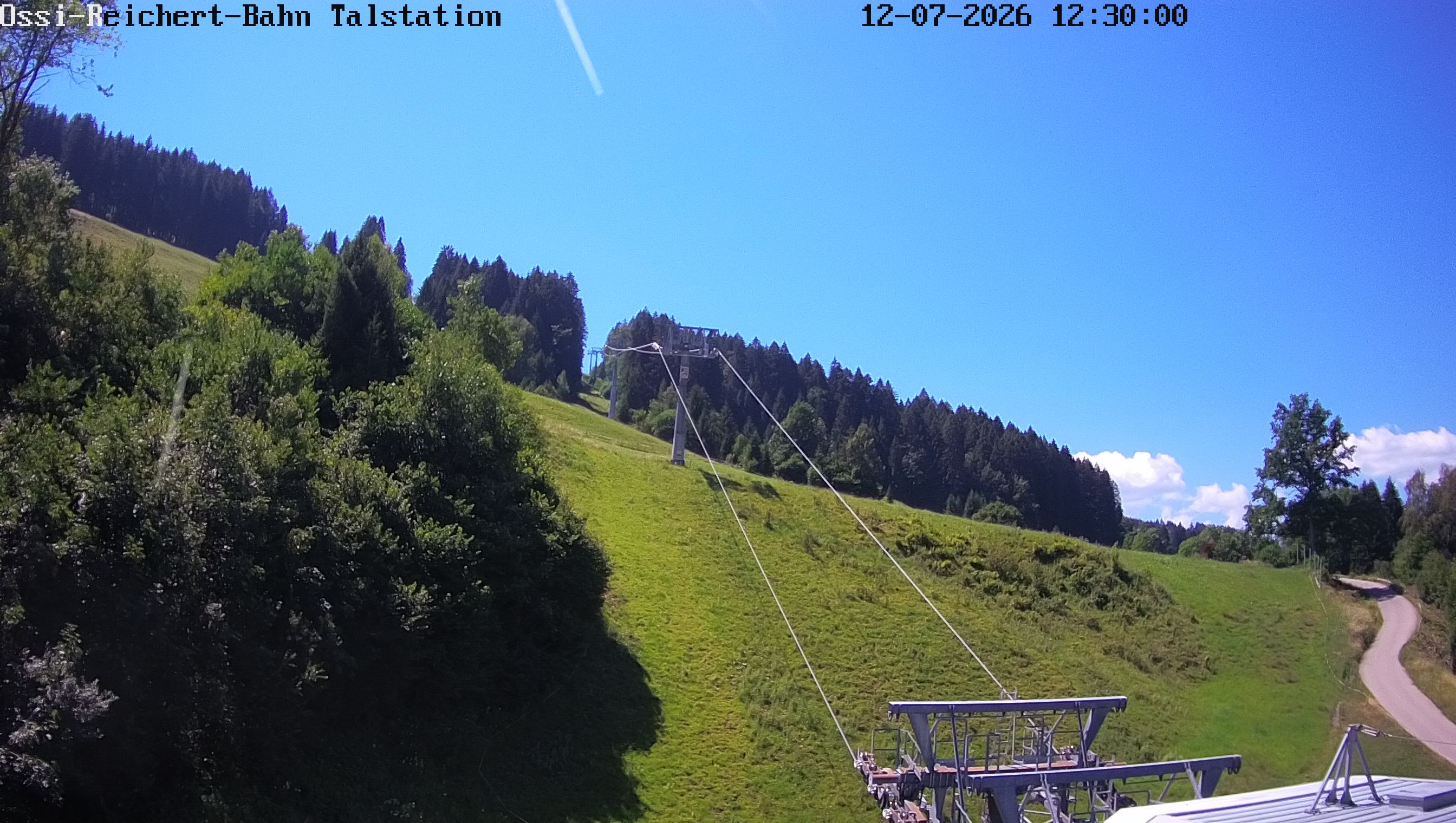 11:00
11:00 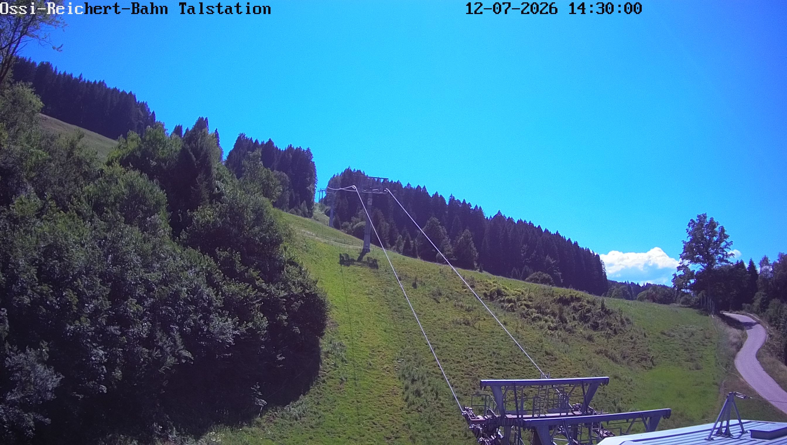 13:00
13:00 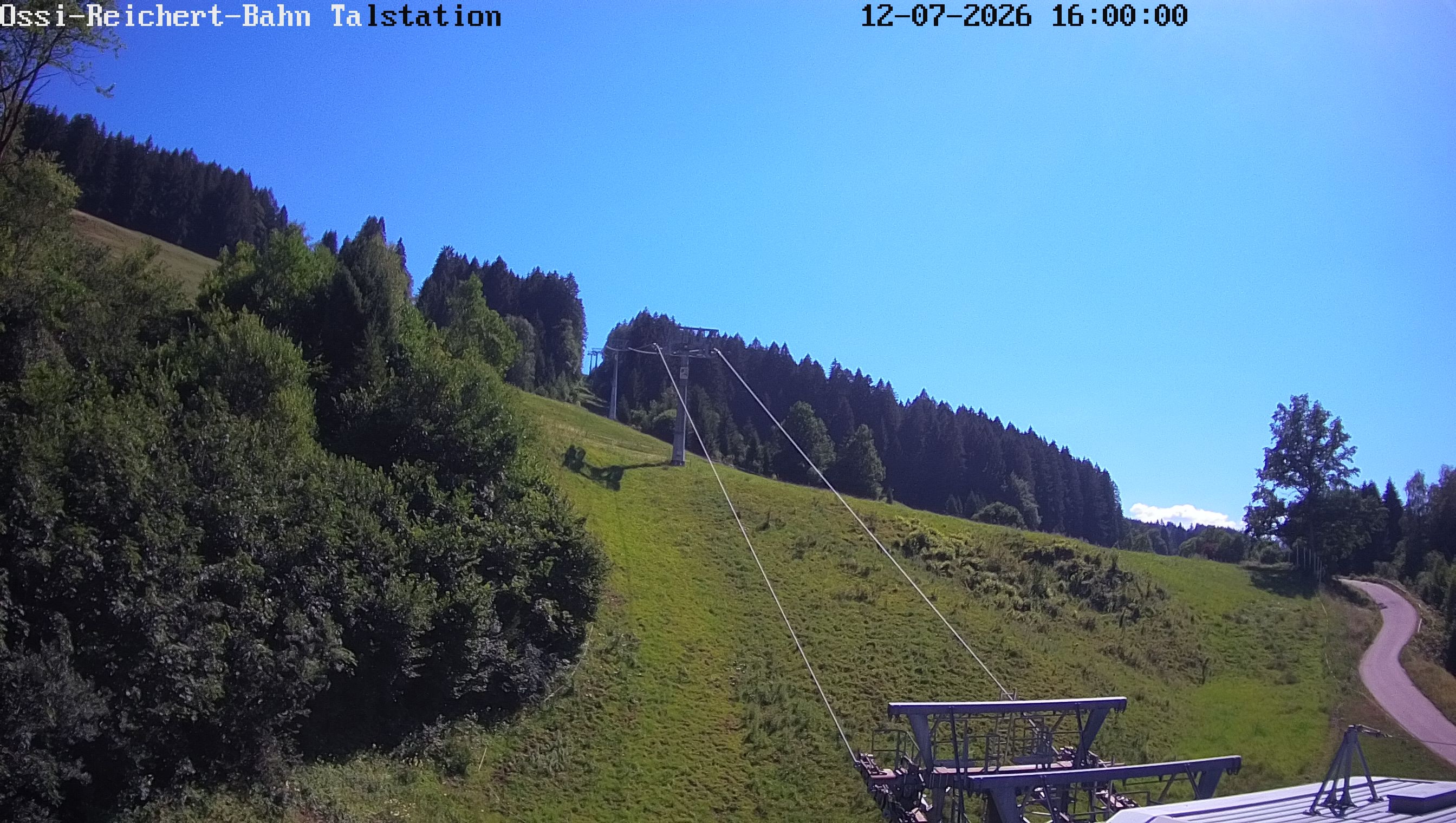 Latest